
The Franklin Mountains rise straight up from downtown El Paso like nothing else in the region. They’re not rolling mountains or distant ridges. They’re there—dramatic, close, and unlike the landscape you’ll see in Arizona or New Mexico. When you fly a drone over El Paso, the mountains become the story immediately. They frame the city, define the geography, and make every aerial composition more powerful.
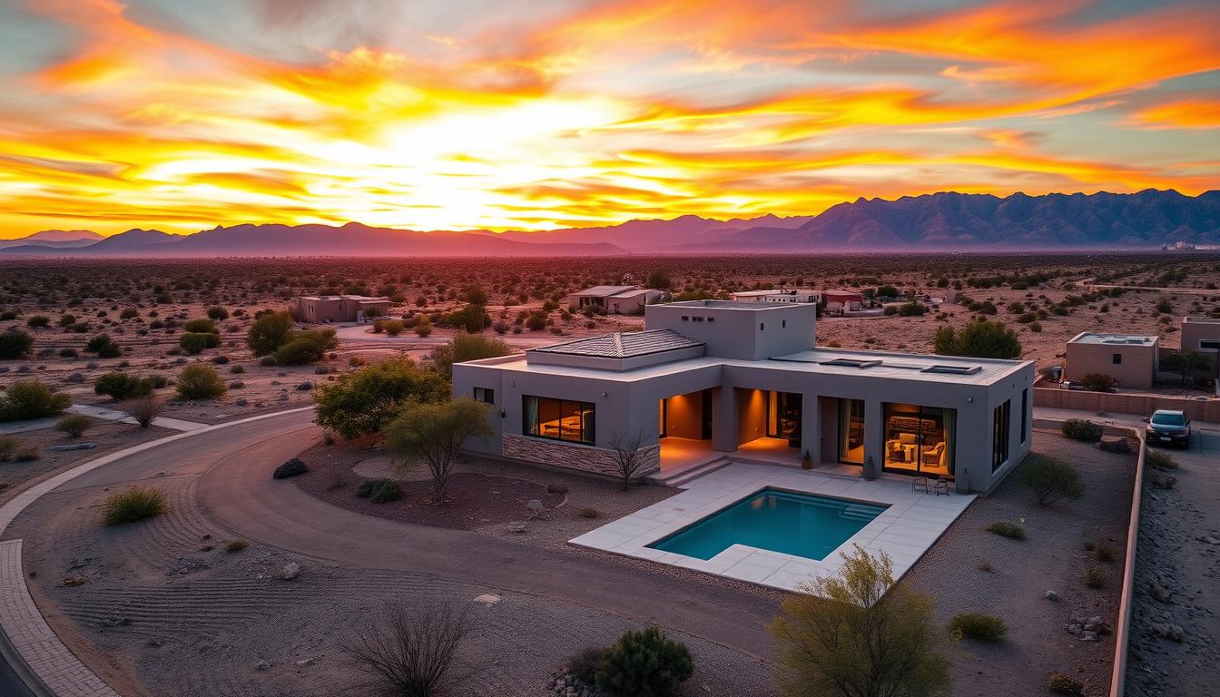
July in El Paso is summer desert heat—the kind of intense, dry heat where the temperature stays north of 105 degrees, the sky is blue, and visibility is exceptional. That same heat and clear conditions make aerial photography incredibly sharp. If you’re thinking about booking drone work in the El Paso area, July is actually ideal. The light is intense. The landscape shows everything. The mountains are impossible to ignore.
Here at Desert Drones LLC, we’ve been flying El Paso and the surrounding area. The work is different here than in Phoenix or Las Vegas, and that’s exactly the point.
Franklin Mountains: The Backdrop That Makes Every Shot Distinctive
Most cities have mountains somewhere. They’re a feature of the landscape. In El Paso, the Franklin Mountains are the landscape. They cut through the city. They divide neighborhoods. They provide this natural visual anchor that shows up in almost every aerial composition.
Real estate agents in El Paso understand this. Properties in the lower valley, homes in the central neighborhoods, properties with mountain views or mountain backdrops—they all benefit from aerial perspective. A drone shot frames homes against the Franklins. It shows the relationship between property and mountain, which is literally how people navigate and understand the geography. Lot size, neighborhood layout, proximity to the mountains—it all becomes clear from above.
We’ve been booking real estate aerial work with agents across El Paso. Properties in the Eastside, central valley homes, newer developments pushing toward the mountain foothills—they all photograph better when you can see the Franklin range as context. The mountains make the composition stronger and the location more memorable.
The Chihuahuan Desert: Landscape That Changes Everything
This isn’t the Sonoran Desert of Arizona or the Mojave of Nevada. The Chihuahuan Desert that surrounds El Paso has different vegetation, different colors, different feeling. From the ground, it’s landscape. From 400 feet up, it’s a completely different perspective. You see patterns in the development, you understand how the city relates to the desert, you get context that changes how the location reads.
Construction documentation in El Paso benefits from that aerial perspective. When contractors are grading sites, laying out developments, or preparing land for building, the Chihuahuan Desert landscape provides visual context. You can see how work relates to the natural terrain, how materials are staged, how the project fits into the broader landscape. That’s information that matters for project management.
We’re documenting construction progress across the El Paso area. Residential developments, commercial sites, infrastructure projects—they all get context from the desert landscape and the Franklin Mountains. The aerial perspective tells a story that ground-level photos can’t convey.
Summer Conditions and Solar Work: What the Heat Enables
July in El Paso is brutal. But that intensity also creates clear, consistent conditions for aerial work. No humidity to fight. No cloud cover except the occasional rare thunderstorm. Visibility is exceptional. That’s perfect for detailed photography.
We’re doing a lot of solar documentation in El Paso. Commercial solar installations, rooftop systems on large buildings, utility-scale projects—they’re all happening in the El Paso area. From the air, you can see the entire installation, track coverage, document scope, and photograph completed work. The intense summer light and clear skies make that detailed work possible.
Contractors and facility managers know that aerial documentation is essential for solar projects. It shows installation progress, proves coverage, and documents final completion. July conditions in El Paso make that work efficient and detailed.
Inspection Work and Property Documentation
Beyond real estate and construction, we’re doing inspection work in El Paso. Roofing projects, utility installations, property assessments—they all benefit from aerial perspective. The intense summer sun in El Paso actually helps. High contrast means details show clearly. Clear skies mean consistent conditions for comparison photos.
Property owners, contractors, and insurance companies often need aerial documentation. It’s not always glamorous work. But it’s essential, and it requires someone who understands drone operations and local conditions. We fly El Paso consistently. We know the regulations, the airspace, the terrain challenges, and the weather patterns.
What to Expect When You Book El Paso Aerial Photography
July in El Paso means predictable weather. No monsoon storms like Arizona. Occasional rare thunderstorms but nothing like what happens in Albuquerque or Phoenix. Clear skies are standard. Heat doesn’t affect drone operations. Visibility is exceptional.
If you’re selling real estate, the Franklin Mountains provide that natural backdrop that makes your property memorable. If you’re a contractor managing a project, the clear conditions mean efficient documentation and sharp imagery. If you’re documenting solar work, roofing, or property inspection, July conditions enable detailed photography.
We’re based in the region. We understand El Paso geography, the local development patterns, and the unique landscape. We’re not flying in from out of state. We know this area, and we deliver results with that local specificity.
The Franklin Mountains are in frame. The light is clear. The desert shows everything. Let’s get your El Paso property, project, or site captured from above.
Book your El Paso aerial photography at https://desertdronesllc.com/