
Nevada is an industrial state — the country's biggest gold-mining industry, a logistics boom across North Las Vegas and Apex, and plants and utilities that all need eyes they can't easily put in the air. We fly it from Las Vegas, statewide — in February 2026 that meant documenting an active drill program at a northern Nevada mine site.
FAA Part 107 Certified · Fully Insured · LAANC Authorized · 5.0★ from 271 Google reviews
Desert Drones provides FAA Part 107–certified industrial and mining drone services from Las Vegas across Nevada — facility and plant inspection, mine-site and drill-program documentation, stockpile volumetrics, survey-grade orthomosaic mapping with contour data, tower and utility inspection, and aerial accident-scene documentation. In February 2026 we documented an active drill program at a northern Nevada mine site, and in spring 2026 we delivered orthomosaics and contour files across three Las Vegas valley sites for a civil-engineering firm.
The dangerous, expensive-to-reach views — captured without scaffolding, lifts, or shutdowns.
Engineering data and documentation — not just photos.
Real Nevada operations, not stock — an active mine drill program and survey-grade valley mapping among them.
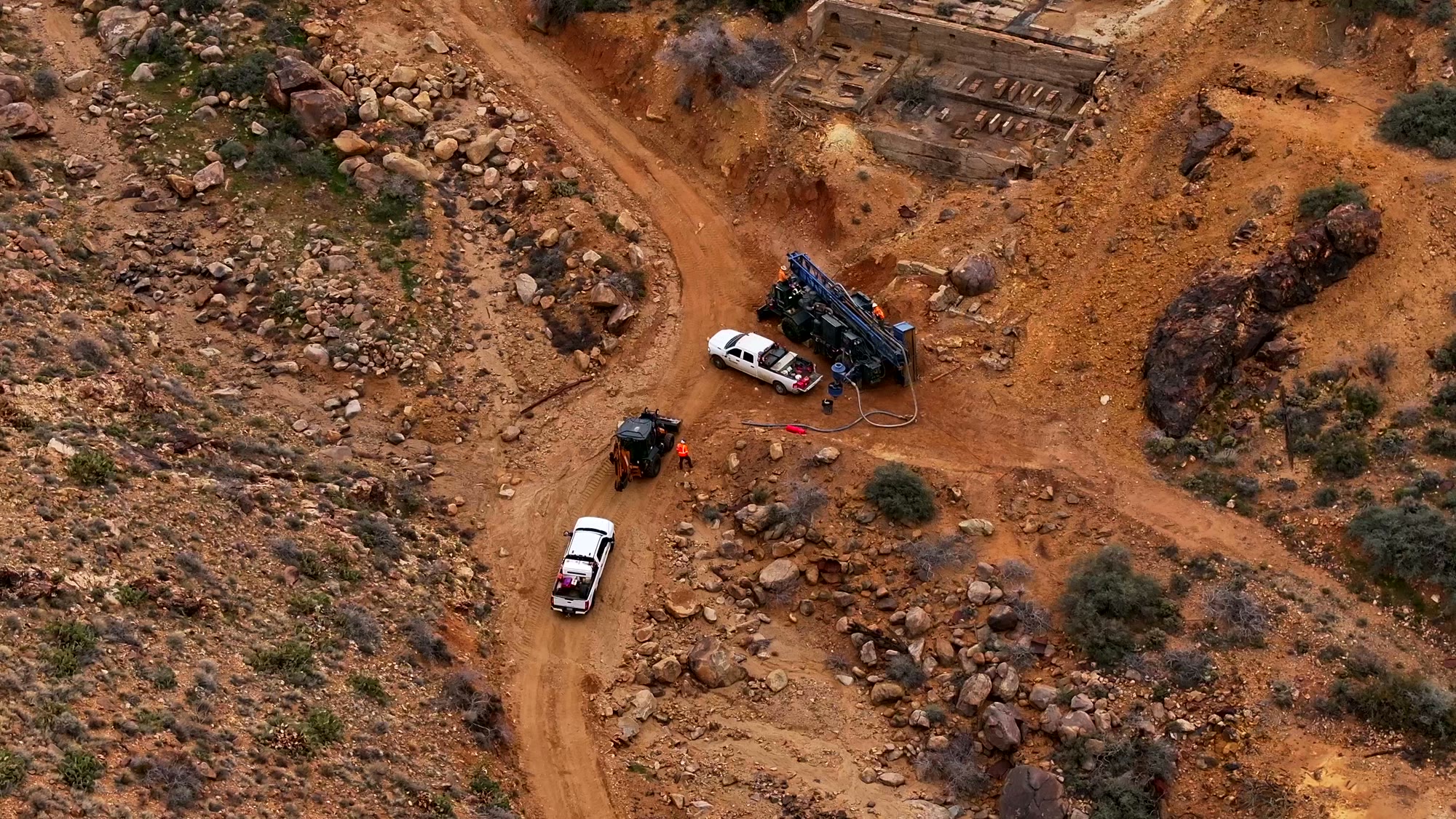
February 2026, northern Nevada — an active drill program documented from the air: rig positioning, site access, and progress, delivered to the operator without interrupting the work.
NEVADA · FEB 2026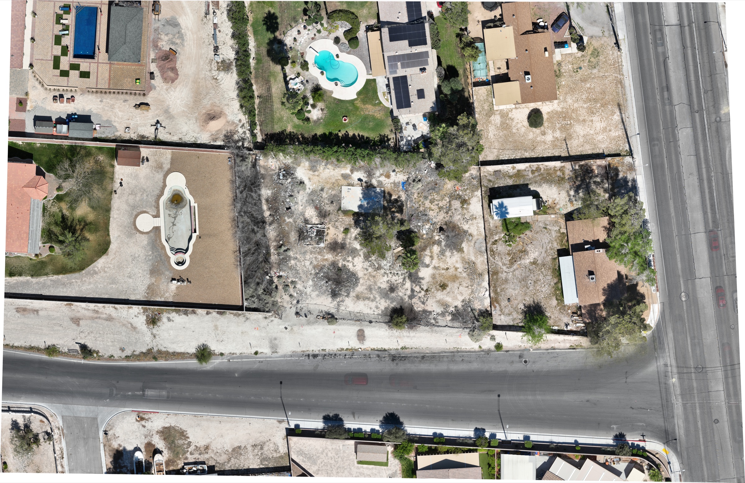
Orthomosaics, DXF contour lines, and digital surface models delivered across three Las Vegas valley sites for a civil-engineering firm in spring 2026.
LV VALLEY · 2026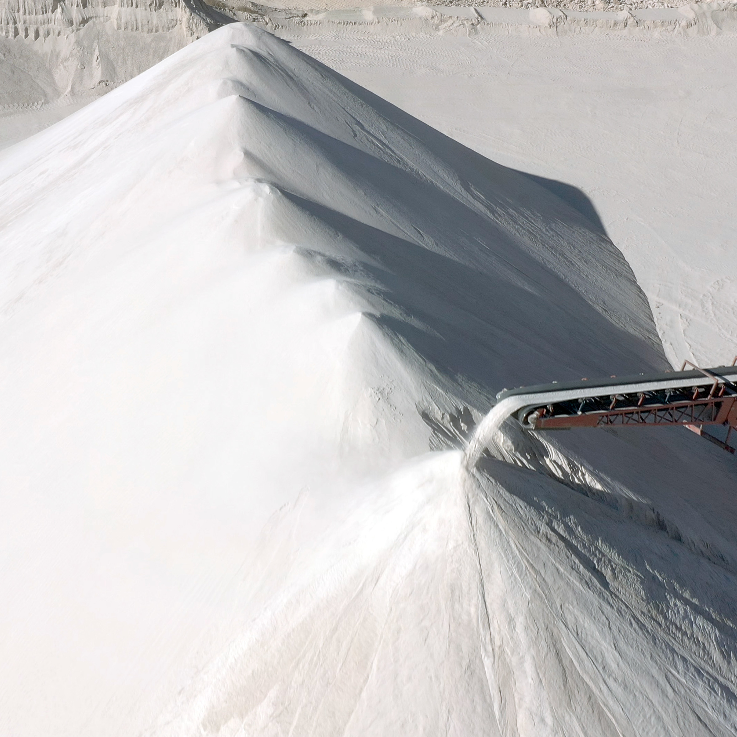
Photogrammetric volume measurement of aggregate and material stockpiles — repeatable, dated, and verifiable against ground survey.
VOLUMETRICSIndustrial flights are flown by licensed Part 107 pilots under the site's safety plan, with LAANC or FAA coordination as the airspace requires. Clients are described by type, not name — your operational data stays yours.
Real industrial work — press play.
Scoped like contractor work, because it is.
Site, assets, data products, and the site's access and safety requirements — scoped before anyone flies.
Licensed pilots fly the inspection or mapping grid — LAANC pulled, site rules followed, operations undisturbed.
Imagery becomes engineering products — orthos, contours, volumes, annotated findings.
Data lands in your team's formats by shared link, on the schedule you set.
From the valley's logistics corridors to mine sites statewide.
Nevada produces more gold than any other state — and its mine sites are remote, active, and documentation-hungry. We fly them from Las Vegas, statewide.
North Las Vegas and Apex are adding industrial square footage as fast as anywhere in America — roofs, yards, and construction all need the aerial view.
Substations, solar fields, and transmission corridors across southern Nevada — inspected without a bucket truck.
Industrial sites near Nellis, Creech, or the test ranges carry real airspace complexity. We plan and coordinate it properly — some areas are simply no-fly, and we tell you which.
Industrial sites don't forgive amateurs — access rules, safety plans, and data your engineers can actually use.
Industrial clients often bundle these — same pilots, same mobilization.
Yes — in February 2026 we documented an active drill program at a northern Nevada mine site: rig operations, site access, and progress, without interrupting work.
Photogrammetric volumes are typically within 1–3% of ground survey when flown correctly — and we deliver the methodology so your surveyor can verify.
Yes — GeoTIFF orthomosaics, DXF contour lines, and digital surface models. We delivered that exact package across three Las Vegas valley sites in 2026.
Some of it — Nevada's military airspace is real. We plan and coordinate what's flyable and tell you plainly what isn't.
Yes — dated aerial documentation of incident scenes for legal and insurance teams, flown on short notice across the valley.
FAA Part 107 certified, insured with $2M liability coverage, and we work under your site's safety and access plan.
Rated 5.0★ from 271 verified Google reviews across our locations.
John and team are the consummate professionals! Very reliable, quick, and high quality deliverables!
Professional, efficient, and easy to work with. The team delivered clean, high-quality aerials and communicated clearly throughout the project.
Needed work done quickly for drone photography. They responded quickly, knew exactly what was required, and explained it well — great customer service.
John was a professional and very knowledgeable. He made the process of getting drone footage seamless and did an exceptional job.
Absolutely amazing experience with Desert Drones. They did a shoot for my business and made my product really speak for itself!
John is a true professional. Every time we need drone photography or videography done, he is excited to take on the project.
Plant, mine, yard, or corridor — tell us the site and the data you need, and we'll scope the flight this week.