
The Phoenix metro is one of the fastest-growing construction and real estate markets in the United States — and visual documentation of that growth requires a drone partner who understands the Valley's scale, airspace complexity, and demanding project timelines. Desert Drones has built relationships with Walsh Group, KB Home, and other major Valley developers because we show up on time, produce professional results, and handle all FAA Part 107 LAANC coordination so you don't have to. Phoenix Sky Harbor International Airport's Class B airspace covers most of the metro — we handle all authorizations automatically.
Phoenix construction projects span hundreds of acres. We've documented phased developments from Peoria to Queen Creek with aerial orthomosaic mapping, progress photography, and stakeholder reporting — at the scale and frequency large GCs require.
Phoenix Sky Harbor International (Class B airspace) covers most of the metro. Every Desert Drones job in the Valley includes LAANC airspace authorization — we handle it automatically so your project never gets delayed by airspace paperwork.
From luxury listings in Paradise Valley and Arcadia to large-scale residential communities in Gilbert and Chandler, we deliver real estate drone photos and video that moves properties. We work directly with listing agents, brokers, and developers.
Whether it's your 1st job with us or your 50th, you get FAA-certified pilots, edited deliverables on your deadline, and professional communication throughout. That consistency is why Phoenix contractors and real estate teams come back.
Phoenix is a market defined by scale. It has one of the country's highest rates of new residential construction, an active commercial real estate market driven by data centers, logistics, and retail, and a growing demand for solar energy inspection services given the Valley's 300+ days of sunshine per year. Desert Drones serves all of these verticals with professional FAA-certified aerial services.
Our construction clients in the Phoenix metro range from national homebuilders documenting large master-planned communities to commercial general contractors tracking progress on industrial parks and office campuses in areas like Tempe, Chandler, and Goodyear. We provide recurring progress visits, aerial orthomosaic maps, and deliverables formatted for project management platforms.
For real estate, the Phoenix market's competitiveness makes drone photography a baseline expectation — not a luxury. Listings without aerial photography sell slower and generate less interest. We work with listing agents, brokerage teams, and luxury home builders across the Valley, from Scottsdale's McDowell Mountain area to downtown Phoenix loft developments.
Phoenix is also one of the strongest markets for solar panel inspections — we use thermal FLIR technology to identify failing panels, hotspot anomalies, and inverter issues on commercial and utility-scale arrays across Maricopa County. Every job is flown by FAA Part 107 certified pilots with current LAANC authorization where required.
West Valley to East Valley, Desert Drones covers the entire Phoenix metro with the same FAA Part 107 pilots, the same deliverables, and the same turnaround.
Phoenix is one of the top-selling residential markets in the country, with consistent demand from California, Texas, and Midwest transplants. Aerial photography helps listings stand out in a crowded MLS feed. We serve luxury agents in Paradise Valley and Arcadia, volume residential builders in Buckeye and Queen Creek, and commercial brokers listing industrial and retail spaces throughout Maricopa County.
The Phoenix metro is a massive construction market with multi-billion-dollar master-planned communities, industrial parks, data centers, and commercial developments in active phases. Our construction drone clients include some of Arizona's largest GCs. We provide weekly progress photos, aerial mapping, before/after comparisons, and orthomosaic deliverables for milestone reporting and lender documentation.
From distribution warehouses in Goodyear to data center campuses in Mesa and Chandler, the Valley's industrial sector has strong drone documentation and inspection needs. We provide aerial surveys, rooftop inspection photography, and facility documentation for commercial property owners and industrial operators throughout Maricopa County.
Maricopa County has exceptional solar irradiance, making it one of the strongest U.S. markets for both residential and commercial solar. We perform thermal FLIR inspections to detect failing panels, diode failures, and soiling losses on large commercial arrays, HOA carports, and utility-scale installations across the Valley.
Phoenix hosts major events year-round — Super Bowl, Formula 1, PGA Tour, music festivals. We provide aerial videography for large events, coordinating with venue management and FAA for safe operations in Phoenix's airspace. We've worked with event companies, PR firms, and sports venues on aerial content production.
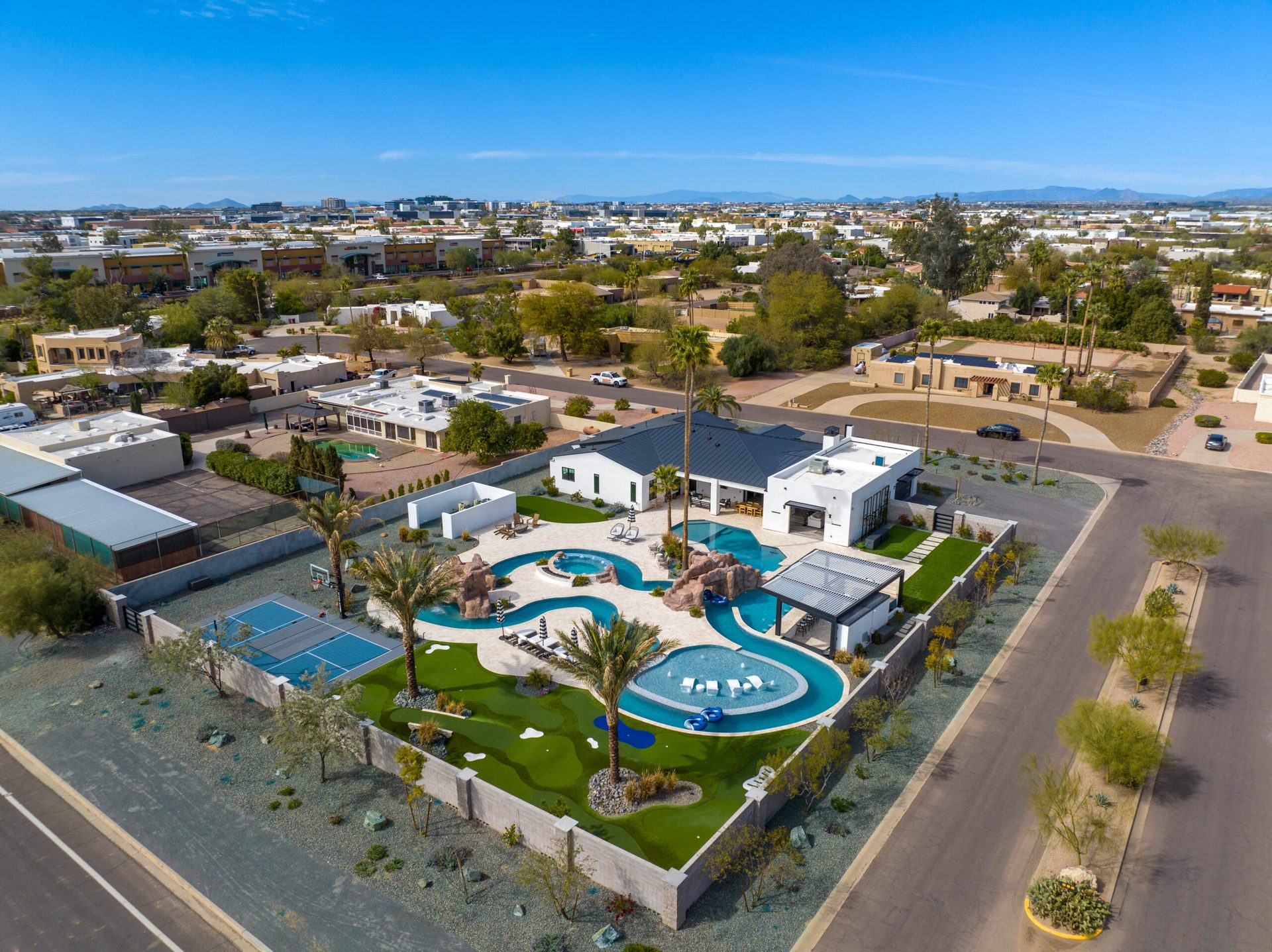
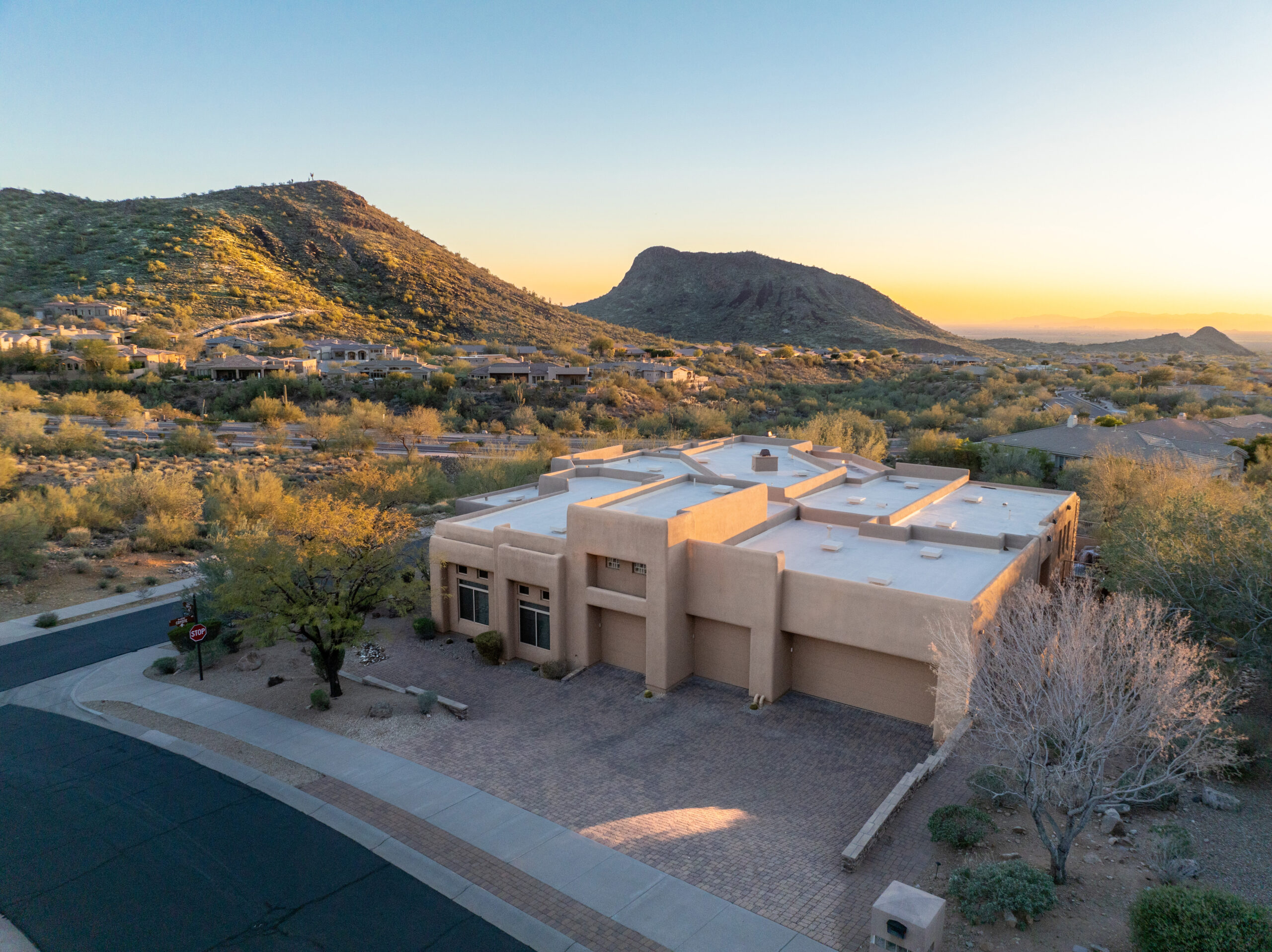
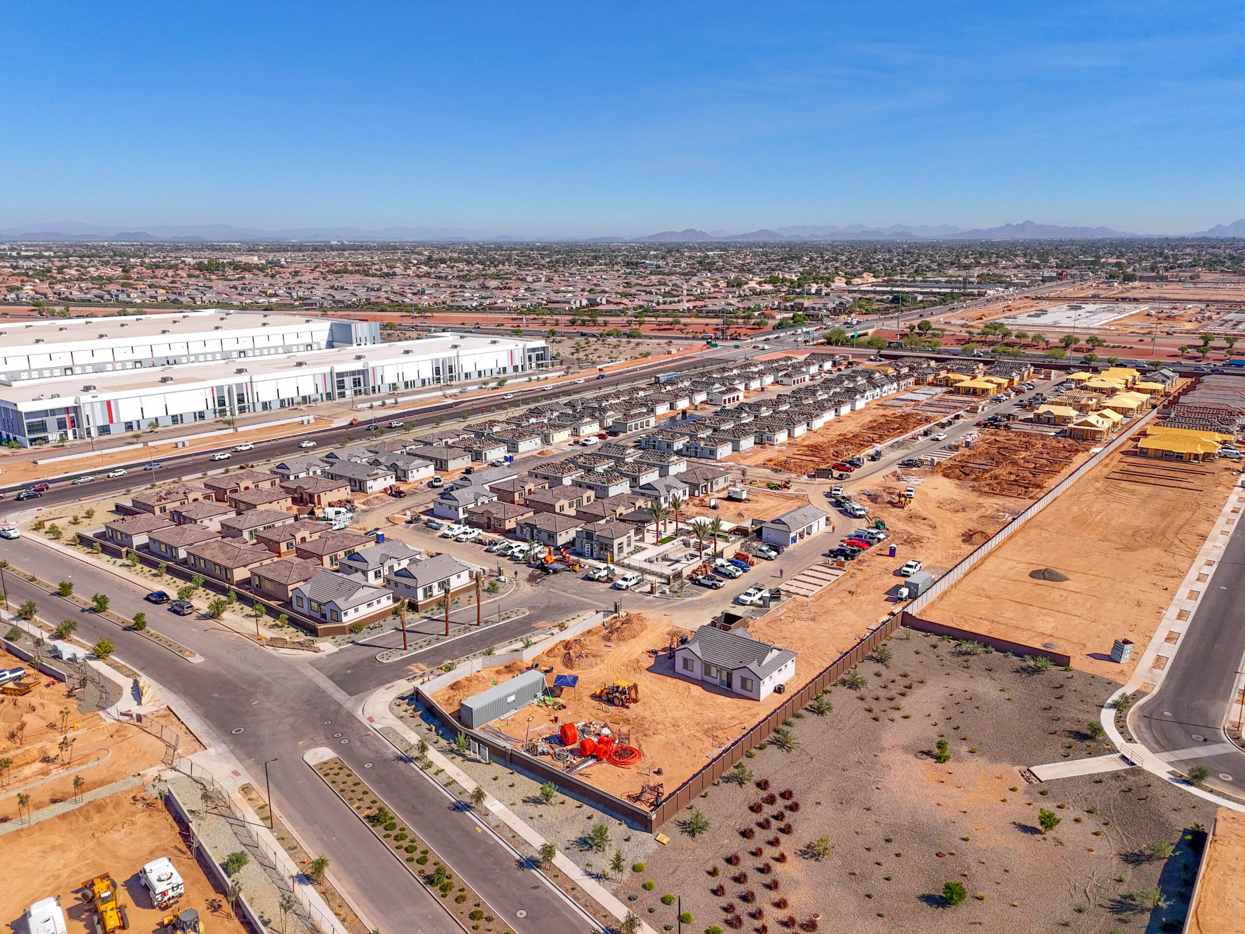
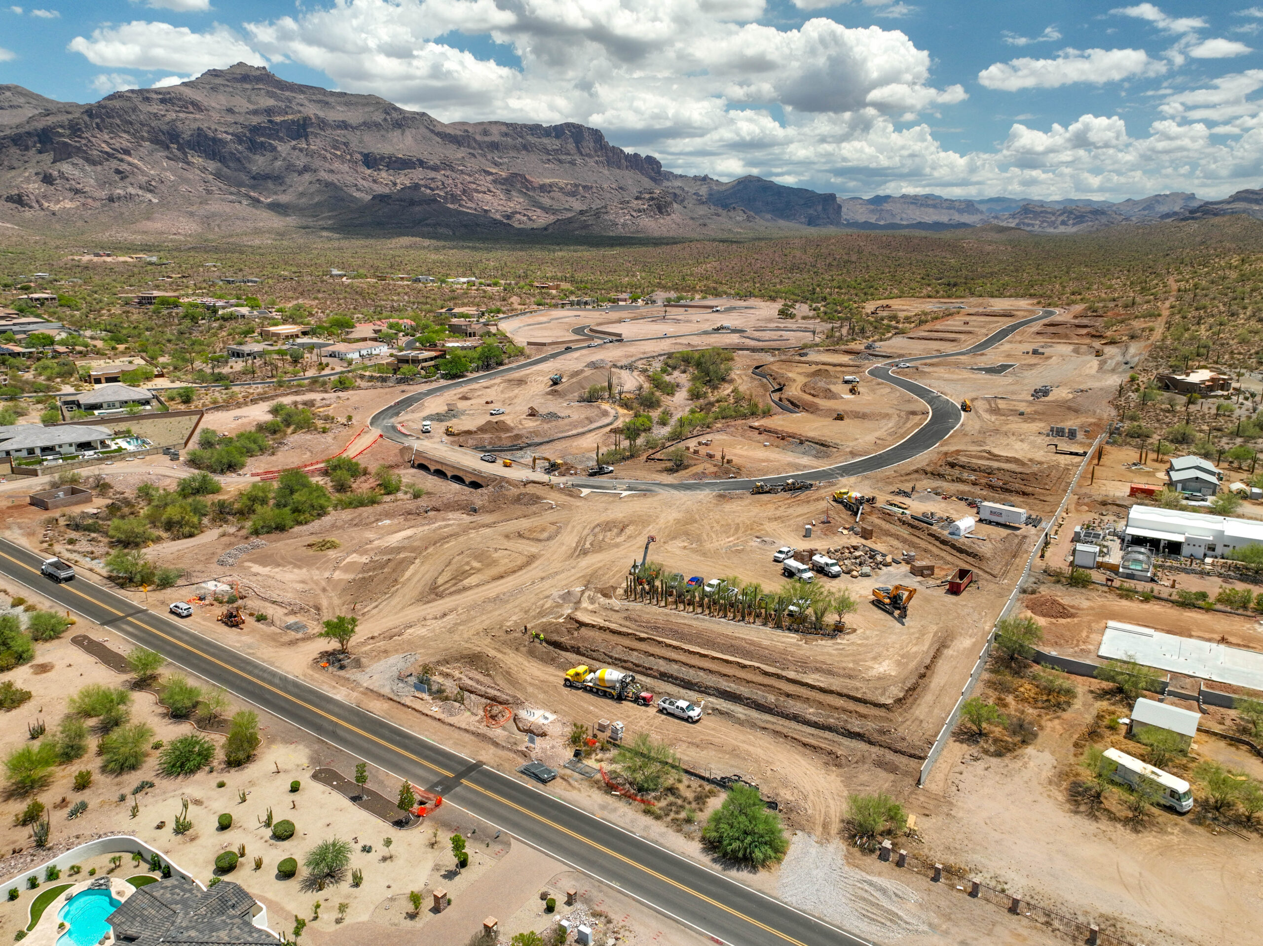
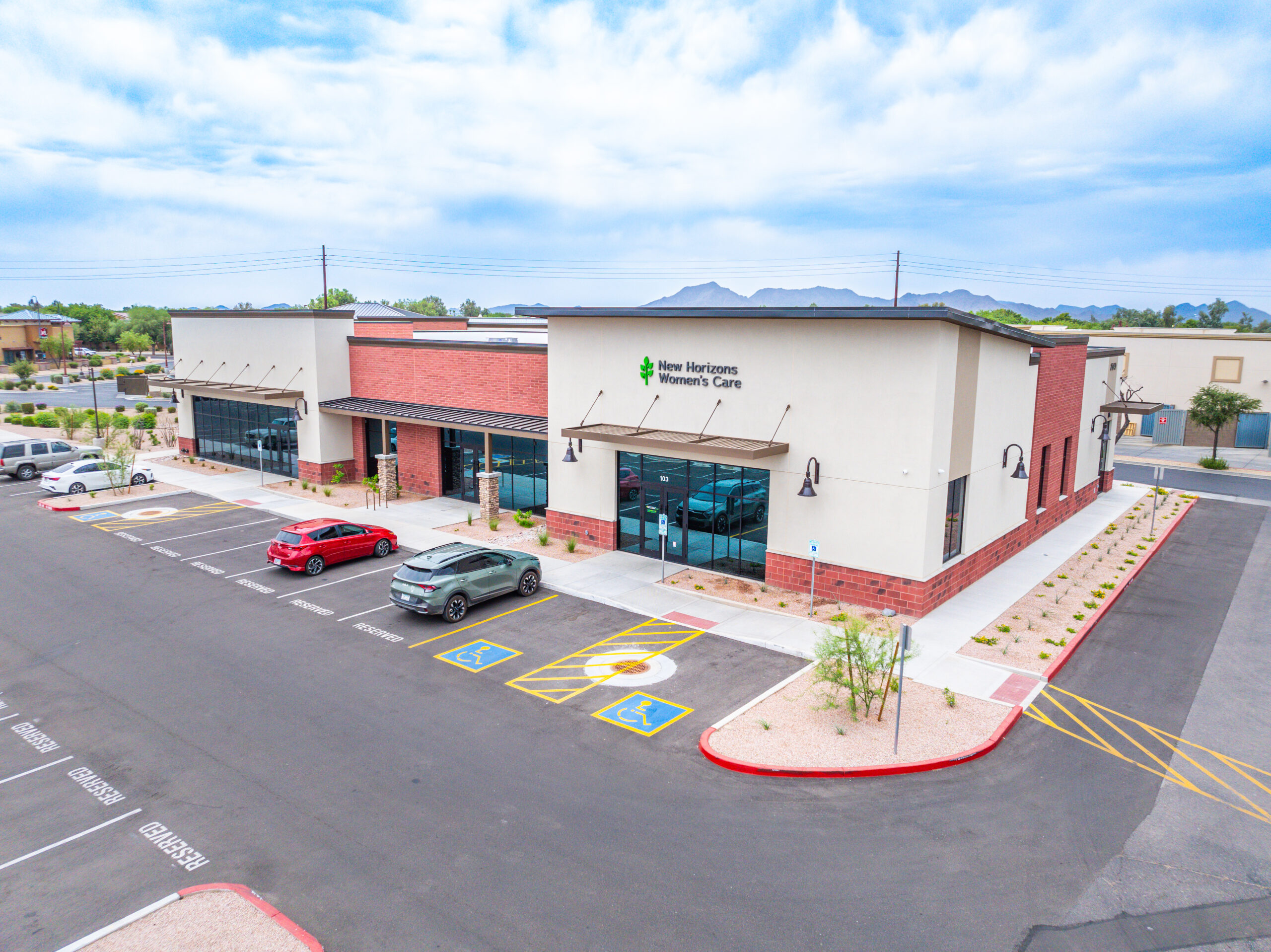
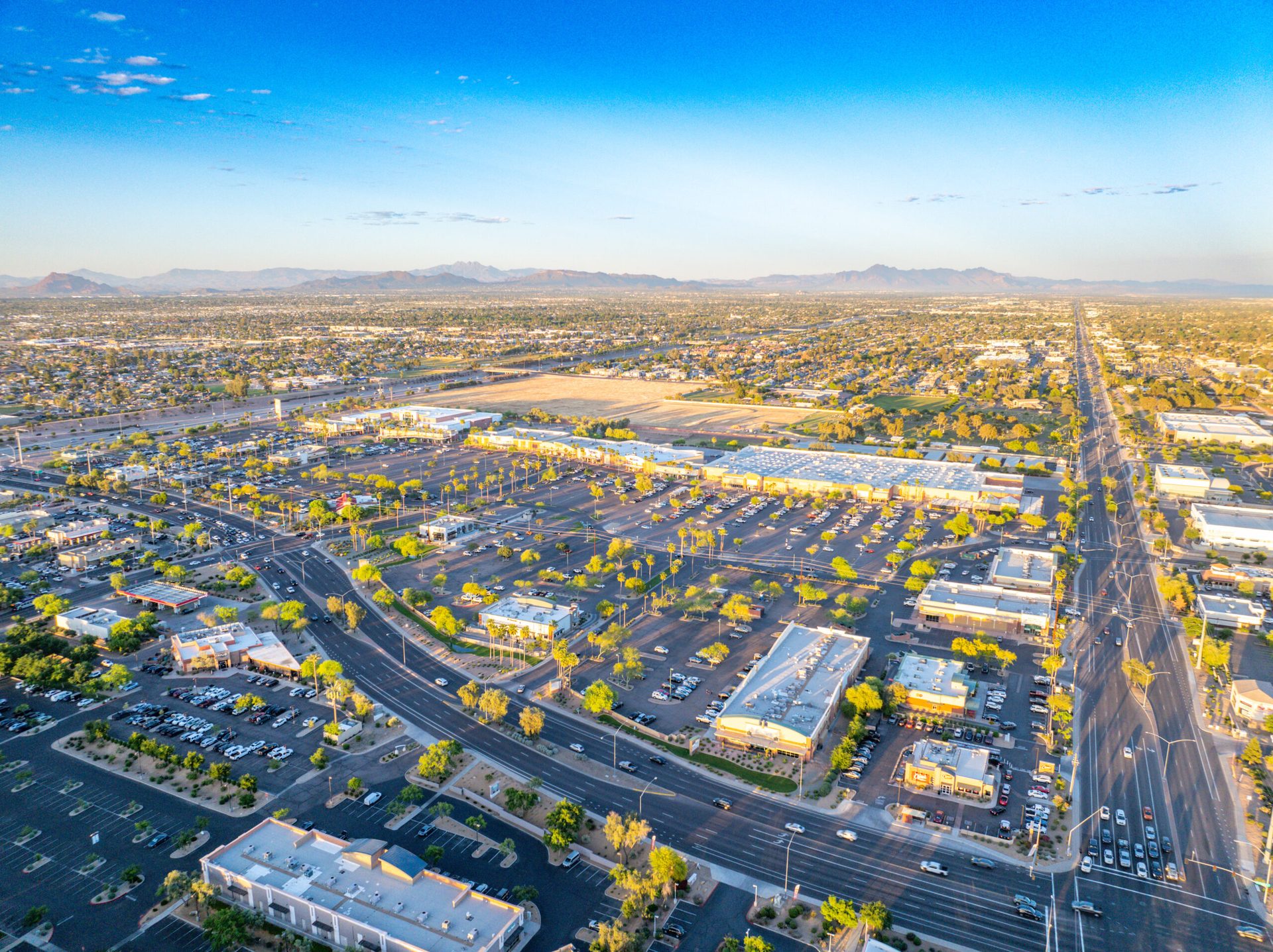
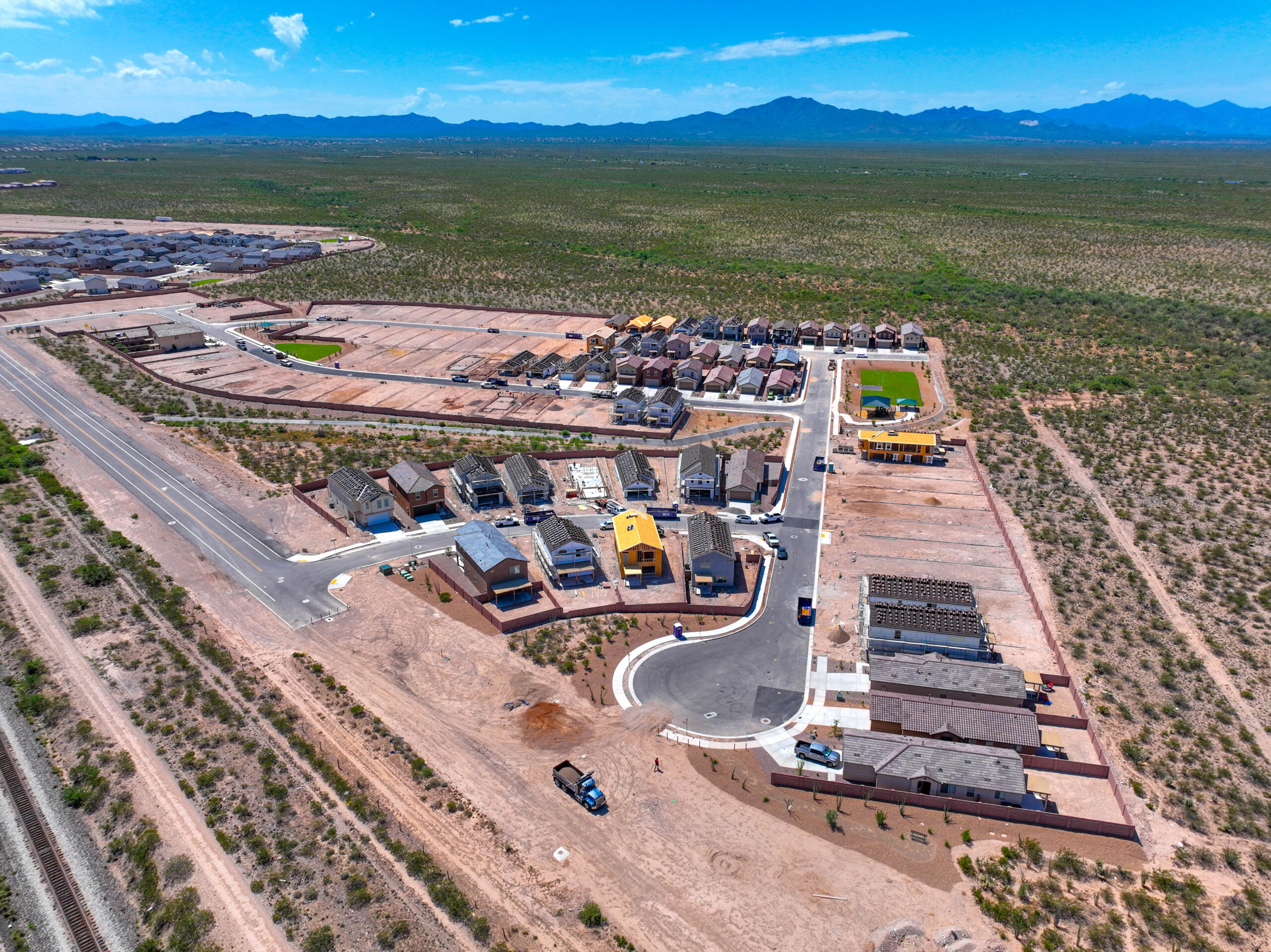
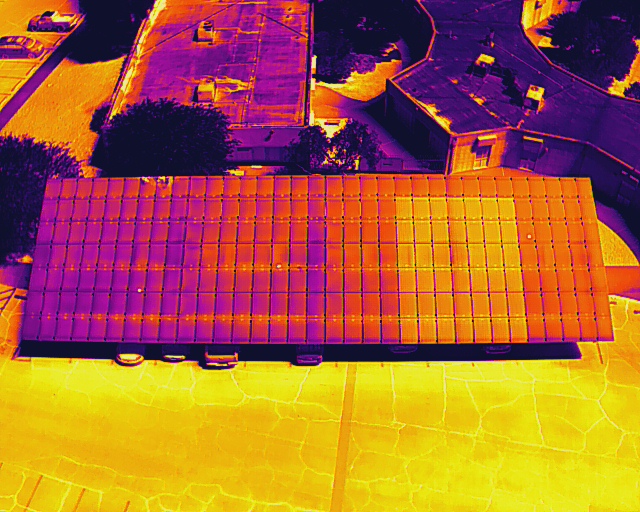
A sample of our aerial work across Greater Phoenix — real estate, construction, mapping, events, and more.

Phoenix is a competitive commercial drone market. Our pricing reflects professional-grade equipment, FAA certification, $2M insurance, and edited deliverables — not cheap consumer drone work. Here are typical ranges for Phoenix-area projects.
| Service | Typical Range | What’s Included |
|---|---|---|
| Aerial Photography | $300 – $650 | 10–20 edited aerial stills, next-day delivery |
| Real Estate Package | $250 – $500 | Aerial photos + 60–90 sec video edit |
| Construction Progress Visit | $400 – $800 | Ortho map + progress photo set |
| FPV Videography | $900 – $1,600 | Cinematic FPV edit, color graded |
| Full Video Production | $900 – $2,000 | Edited video with music and titles |
| Thermal / FLIR Inspection | $500 – $1,200 | Thermal report + annotated images |
| Solar Array Inspection | $600 – $1,500 | Thermal FLIR + string-level report |
Pricing varies by project size, location, and number of deliverables. Contact us for a free custom quote — we typically respond within 2 hours during business days.
Rated 5.0★ from 271 verified Google reviews across our locations.
John and team are the consummate professionals! Very reliable, quick, and high quality deliverables!
Professional, efficient, and easy to work with. The team delivered clean, high-quality aerials and communicated clearly throughout the project.
Needed work done quickly for drone photography. They responded quickly, knew exactly what was required, and explained it well — great customer service.
John was a professional and very knowledgeable. He made the process of getting drone footage seamless and did an exceptional job.
Absolutely amazing experience with Desert Drones. They did a shoot for my business and made my product really speak for itself!
John is a true professional. Every time we need drone photography or videography done, he is excited to take on the project.
Drone photography in Phoenix typically ranges from $250 to $600 for standard aerial and real estate packages, and $400 to $800 per visit for construction progress documentation. Full video production runs $900 to $2,000 depending on length and complexity. Pricing varies by scope, number of deliverables, and any special requirements. Desert Drones provides free custom quotes — call 480.845.0274 or submit the form below.
Aerial photography in Phoenix runs $300 to $650 for 10–20 edited aerial stills, next-day delivery. Real estate packages that pair aerial photos with a short video edit are priced separately. Every flight is flown by an FAA Part 107 certified pilot with LAANC airspace authorization where Sky Harbor, Deer Valley, or Scottsdale airspace requires it. Call 480.845.0274 for a quote.
Sky Harbor International Airport is surrounded by Class B controlled airspace that covers most of the Phoenix metro. Commercial drone operations within this airspace require FAA LAANC (Low Altitude Authorization and Notification Capability) authorization, which we obtain automatically before every job. Most authorizations are instant. For projects very close to the airport, manual FAA authorization may be required and can take 24–72 hours. Desert Drones handles all airspace paperwork — you never have to deal with the FAA directly.
Yes, with proper authorization. Scottsdale Airport has Class D airspace with a 2-mile no-fly zone and a 5-mile coordination zone. Desert Drones is experienced operating in and around Scottsdale, including areas near the McDowell Mountains, Old Town, North Scottsdale, and Kierland. Note that the McDowell Sonoran Preserve prohibits drone operations. For all other Scottsdale locations, we obtain appropriate airspace authorization in advance.
Yes — Desert Drones serves the entire Phoenix Metro area including Scottsdale, Tempe, Mesa, Chandler, Gilbert, Glendale, Peoria, Surprise, Goodyear, Buckeye, Queen Creek, Laveen, Ahwatukee, and Fountain Hills. We also serve Casa Grande and Florence for projects in the I-10 corridor south of the Valley.
Commercial drone operations in Phoenix require an FAA Part 107 Remote Pilot Certificate (all Desert Drones pilots are certified) and LAANC airspace authorization within Sky Harbor’s Class B airspace. For filming in Phoenix city parks, a City of Phoenix Film & Digital Media Permit may be required, with a minimum of $1 million in liability insurance (we carry $2M). We handle all permit coordination as part of our service.
For straightforward aerial photography jobs with available airspace authorization, we can often accommodate same-day or next-day requests in the Phoenix metro. For projects requiring special permits, complex airspace coordination (near Sky Harbor or Scottsdale Airport), or multi-camera production, we recommend booking 3–5 days in advance. Contact us at 480.845.0274 to check availability.
For Phoenix projects, we operate professional-grade DJI systems including the Mavic 3 Enterprise and DJI M30T for thermal FLIR inspections. All equipment is maintained to current airworthiness standards. We carry $2 million in liability insurance on every job — a requirement for most commercial clients in the Valley’s construction and real estate sectors.
We serve the entire Valley — Phoenix, Scottsdale, Tempe, Mesa, Chandler, Gilbert, Glendale, Peoria, Surprise, Queen Creek, and Buckeye. Call or click for a free quote.