
A water and wastewater contractor is expanding a water reclamation facility on the southwest edge of Goodyear, where new subdivisions are filling the desert faster than the pipes can keep up. Since December 2024 Desert Drones has flown the site every month, from the same positions, so the owner, the contractor and the engineer all see the same progress.
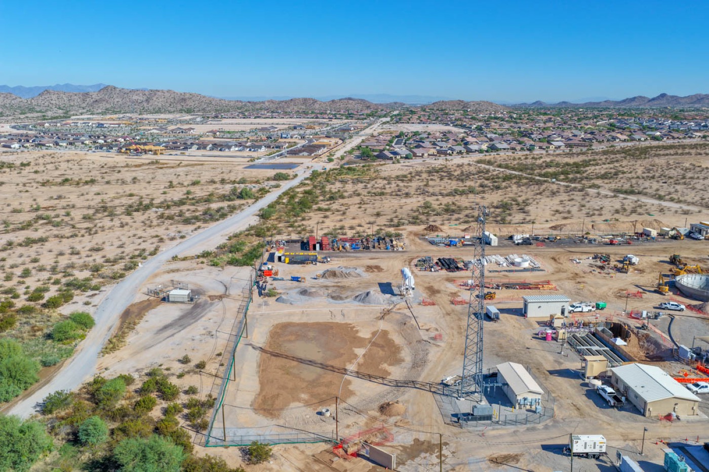
Water infrastructure is built in the ground and in concrete, and much of it is invisible once it is backfilled. The contractor needed a monthly record of what was in place and when, for pay applications, for the owner's reports and for the day someone asks what was under a slab. Ground photos cannot show the whole site; a drone can, and can do it from the same spot every month.
On the first visit we set the camera positions: a fixed set of waypoints and angles around the site, saved as a flight plan. Every visit since has flown that same plan, so a photo from month 3 and month 23 line up and the change between them is obvious. Each visit takes under an hour on site and the edited set is delivered the same week. The site sits in the West Valley outside any airport's controlled airspace, so there is no authorization lead time.
Twenty-four monthly sets so far, each with wide site overviews, structure-by-structure detail and the owner's requested angles, plus edited selects for reports and progress video for larger milestones. The same contractor has since had us fly a well site in Tempe and treatment-plant work in Peoria, Sacaton and the Gila River Indian Community.
The owners and engineers on a municipal water project are rarely on site. A consistent monthly aerial record lets them check progress from their desks, resolves what-was-there-when questions without a site visit, and gives the contractor a dated record that protects them in every pay application.
Every flight is by an FAA Part 107 certified, insured pilot. Tell us where the site is and what you need back.