
The Dallas-Fort Worth metroplex is massive and it’s still growing. Every direction you look, there’s construction. The suburbs—Plano, Frisco, McKinney, Allen, Carrollton—they’re expanding constantly. The downtown skyline keeps changing. The corridors along the interstates are busy with commercial development. From the ground, it’s chaos and opportunity mixed together. From 400 feet up in a drone, you see the pattern. You see where the money is going. You see exactly what’s happening in the market.
July in Dallas is hot and humid. Afternoon thunderstorms are common. But between storms, the conditions clear and you get windows for aerial work. If you’re a contractor, real estate agent, or commercial property manager in the DFW area, now is actually the moment to book drone photography. The construction boom isn’t slowing down, and aerial documentation matters more every year.
Here at Desert Drones LLC, we’ve been flying across the Dallas area. The work we’re doing is different from what we’d shoot in desert markets, and that’s exactly what makes it interesting.
The DFW Construction Boom: Real Estate Development Photographed From Above
This isn’t small-scale development. The DFW metroplex is one of the fastest-growing major metros in the country. Residential developments are happening at scale. Master-planned communities are massive. And real estate agents understand something critical: if your listing doesn’t have aerial photography, you’re at a disadvantage.
Luxury homes in the Park Cities area of Dallas, new construction in Frisco, developments in McKinney and Allen—they all need aerial perspective. A drone shot shows the property, the lot in context, the neighborhood layout, and the proximity to amenities. For higher-end real estate, aerial photography isn’t optional. It’s expected.
We’re working with real estate professionals across the Dallas area. Single luxury properties, new construction developments, and subdivision communities all benefit from aerial perspective. The competition in DFW real estate is fierce. Agents who have quality aerial imagery have a significant advantage in showing properties and closing sales.
Progress Documentation for Contractors: Tracking DFW Development
Commercial and residential construction across DFW is constant. Office parks, retail developments, residential subdivisions, apartment complexes, mixed-use projects—there’s activity everywhere. Contractors managing these projects need documentation. They need progress photos that show exactly where work stands at any point in time.
A drone provides that perspective. It shows the entire site. It demonstrates scope. It creates a record that satisfies lenders, insurance companies, and ownership. In a market as active as DFW, documentation isn’t just nice to have. It’s part of professional project management.
We’re documenting construction progress across the metroplex. Residential developments, commercial sites, infrastructure projects—we understand what contractors need and we deliver it. Our shoots are efficient. We work around project schedules. We provide quick turnarounds when conditions allow. Multiple sites in a day, detailed documentation, professional imagery.
Commercial Real Estate and Office Parks: Context From Above
The corridors along I-635, I-75, and US-75 are busy with commercial development. Office parks, logistics facilities, retail centers, mixed-use developments—they’re everywhere. Commercial real estate brokers, facility managers, and developers all use aerial photography to show properties and track changes.
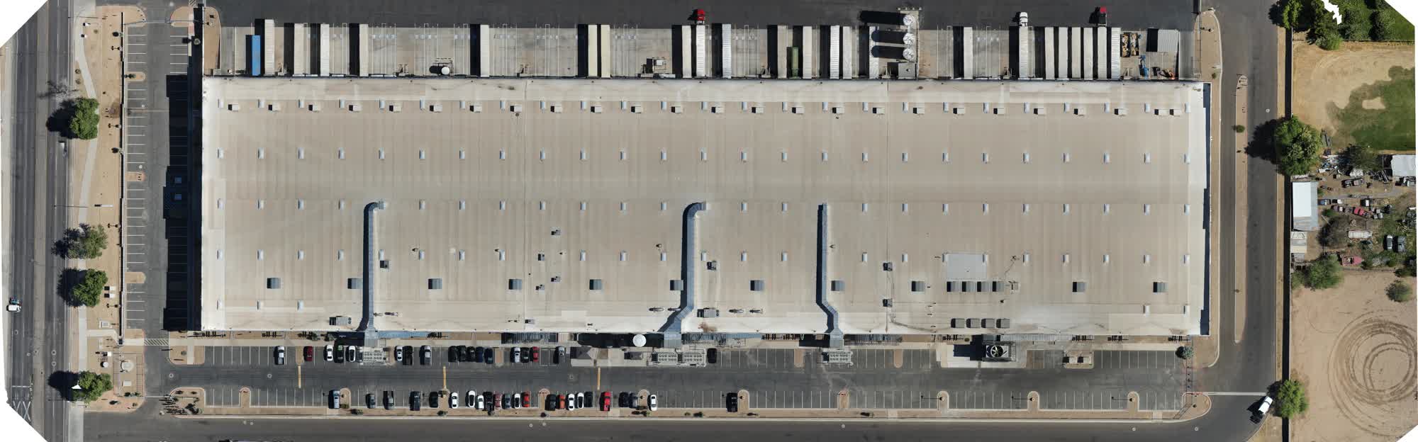
From the air, you see parking lot layouts, building footprints, surrounding development patterns, and how properties relate to major highways and transit. That’s information that matters for commercial real estate decisions. An aerial video of an office park or industrial facility tells a different story than ground-level photos.
We’re doing commercial photography work across DFW. Properties in Irving, Arlington, Plano, Frisco, and throughout the metroplex—we have experience with the scale and complexity of commercial real estate documentation.
The DFW Skyline and Downtown Dallas Photography
Downtown Dallas keeps changing. The skyline evolves. New developments continue. For photographers, real estate professionals, and media outlets, aerial perspective of the downtown core shows the market, documents changes, and tells the growth story.
We’ve been flying downtown Dallas and the surrounding urban core. The combination of established skyline and new development creates interesting compositions. The scale of the city shows better from above. The relationship between downtown, surrounding neighborhoods, and the broader metroplex becomes clear.
July Weather and Scheduling in DFW
July in Dallas means heat and humidity. Afternoon thunderstorms are common but brief. Between weather windows, conditions clear quickly. We can schedule shoots early in the morning before storms develop, or we can work around afternoon conditions with flexibility.
For contractors, this means we can coordinate documentation with project schedules. For real estate agents, we can schedule sessions when conditions are optimal. For commercial property work, we understand the logistics and can be efficient with planning and execution.
Heat doesn’t affect drone operations. Humidity is managed with proper equipment. The challenge is weather windows, not technical performance. We know how to work in DFW summer conditions and deliver quality results.
What to Expect When You Book Dallas Aerial Photography
You’re booking in a market where aerial photography has become standard. Real estate agents expect drone capabilities. Contractors expect quality documentation. Commercial property professionals expect aerial perspective as part of professional services.
We deliver that. We understand DFW. We know the neighborhoods, the developments, the market. We’re not generic drone services. We’re experienced in the Dallas market, and we deliver results with that specificity.
Whether you’re selling real estate, tracking construction progress, or documenting commercial properties, Dallas aerial photography is our specialty. The construction boom is active. The market is competitive. Let’s get your property, project, or development captured from above.
Book your Dallas aerial photography at https://desertdronesllc.com/