
El Paso moves freight — one of the largest inland ports on the border, with warehouse campuses, rail intermodal, and plants strung along I-10 from Santa Teresa to the Lower Valley. Drones inspect, map, and measure all of it faster and more safely than crews at height.
FAA Part 107 Certified · Fully Insured · LAANC Authorized · 5.0★ from 271 Google reviews
Desert Drones provides FAA Part 107–certified industrial drone services in El Paso, TX — facility and rooftop inspections, stockpile volumetrics, site mapping, and infrastructure documentation for logistics, manufacturing, and energy operations across the Borderplex. Fully insured, safety-first, with measurable deliverables your engineers can verify.
The dangerous, slow, or repetitive work — done from the air instead.
Deliverables built for engineering and operations — measurable, dated, and organized.
Representative captures from our pilots — the measurable standard every Borderplex site gets.
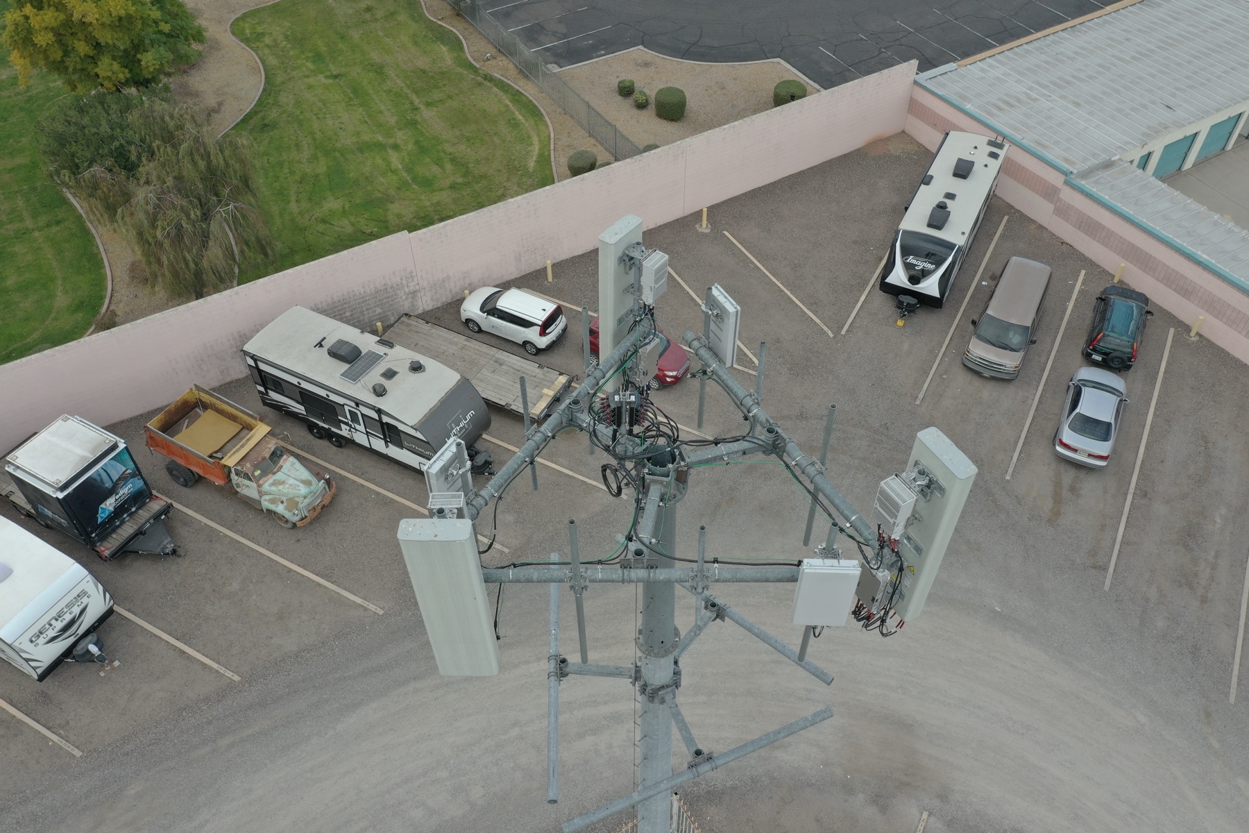
Towers, structures, and rooftop equipment documented at detail from the air — the work that used to mean a climber or a lift, done in minutes with no fall exposure and no downtime.
AT HEIGHT · NO DOWNTIME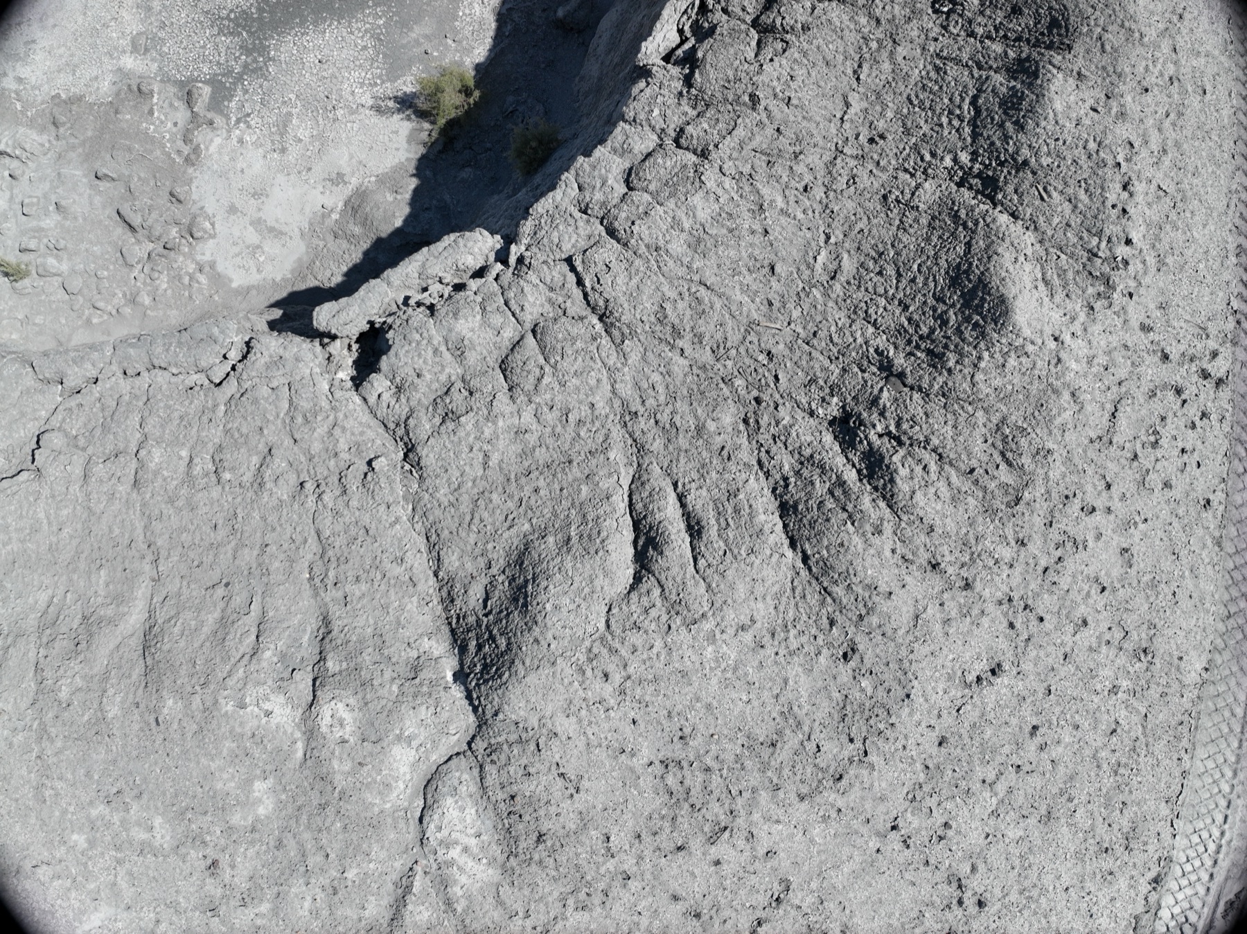
Photogrammetric volume measurement of aggregate and material stockpiles — repeatable, defensible quantities for inventory and billing, month after month.
VOLUMETRICS · REPEATABLE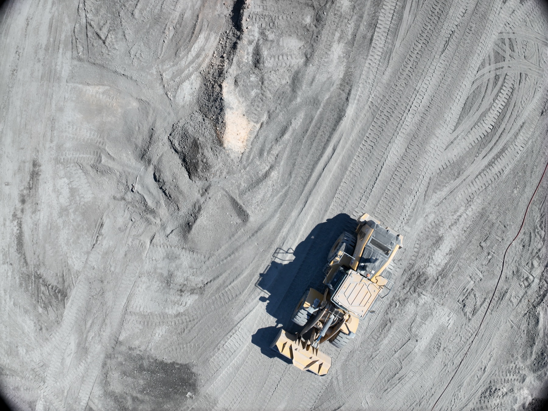
The whole yard in one measurable map — laydown, staging, access, and drainage readable at a glance and comparable across quarters.
ORTHO · SITE-WIDEWe fly industrial work across the Borderplex with FAA Part 107 pilots, full insurance, and site-safety compliance — from warehouse campuses in far-east El Paso to operations along the I-10 corridor.
Scoped like engineering work, because it is.
Site, assets, deliverables, and your safety requirements — badging, orientation, and escort protocols included.
Licensed pilot, professional equipment, missions planned around operations and El Paso's airspace — LAANC for ELP Class C, military airspace at Biggs respected.
Orthos, volumetrics, and inspection imagery processed and quality-checked.
Measurable deliverables by shared link, organized for your engineering and ops teams.
El Paso's industrial economy has a specific shape. We fly to it.
One of the border's largest inland ports keeps adding distribution space across far-east El Paso and toward Santa Teresa. Big footprints, big roofs — made for aerial inspection and mapping.
The maquiladora corridor drives plants, suppliers, and freight infrastructure on the US side. Documentation needs are recurring, not one-off.
Solar plants, substations, and pipeline corridors across the desert are exactly the assets drone inspection was built for — remote, spread out, and hostile to crews at height.
Heat, dust, and wind are our home conditions. Equipment, batteries, and flight planning are desert-proven.
Industrial sites don't tolerate amateurs — access is controlled, safety is audited, and the data has to be measurable.
Industrial clients typically bundle these — same mobilization when it makes sense.
Yes — badging, orientations, escorts, and JSAs are normal for us. Send your requirements with the scope.
Photogrammetric stockpile measurement is typically within 1–3% of ground-truth survey when flown correctly — and it's repeatable, which is what makes month-over-month inventory meaningful.
Yes on the airport side — ELP Class C flights run on FAA LAANC authorization. Around Biggs and Fort Bliss we plan missions to respect military airspace and confirm feasibility upfront.
Yes — monthly or quarterly inspection and mapping programs with consistent framing, so your data compares cleanly over time.
Single-site inspections typically start around $500; mapping and volumetric programs quote by site and cadence.
FAA Part 107 certified and fully insured — COI and safety documentation provided for your vendor file.
Rated 5.0★ from 271 verified Google reviews across our locations.
John and team are the consummate professionals! Very reliable, quick, and high quality deliverables!
Professional, efficient, and easy to work with. The team delivered clean, high-quality aerials and communicated clearly throughout the project.
Needed work done quickly for drone photography. They responded quickly, knew exactly what was required, and explained it well — great customer service.
John was a professional and very knowledgeable. He made the process of getting drone footage seamless and did an exceptional job.
Absolutely amazing experience with Desert Drones. They did a shoot for my business and made my product really speak for itself!
John is a true professional. Every time we need drone photography or videography done, he is excited to take on the project.
Send the site and the deliverable — we'll scope it, quote it, and fly it.