
Southern Arizona is mining country — and Tucson sits in the middle of it. From our base here we fly mine mapping, stockpile volumetrics, and facility inspections across the region: pit surveys, haul-road documentation, and the measurable data your engineers actually use.
FAA Part 107 Certified · Fully Insured · LAANC Authorized · 5.0★ from 271 Google reviews
Desert Drones provides FAA Part 107–certified industrial and mining drone services from our Tucson, AZ headquarters — mine site mapping, stockpile volumetrics, facility and equipment inspections, and infrastructure documentation across southern Arizona. Fully insured, MSHA-aware, with measurable deliverables your engineers can verify.
The dangerous, slow, or repetitive work — done from the air instead.
Deliverables built for engineering and operations — measurable, dated, and organized.
Recent work from our pilots — a southeastern Arizona mine we survey on a recurring schedule, and photogrammetric volumetrics.
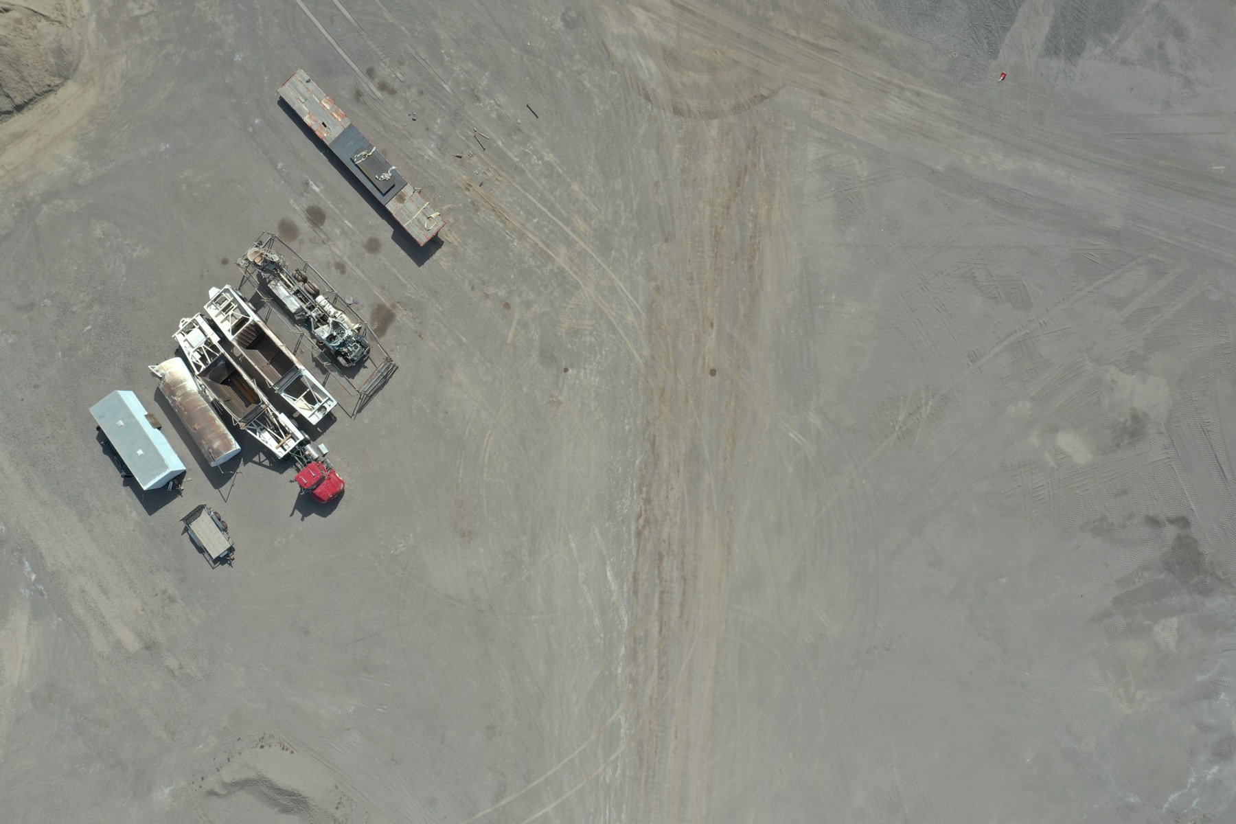
A southeastern Arizona mine we've flown across multiple campaigns — pits, benches, haul roads, and material movement documented survey over survey for the operator.
ARIZONA · MINING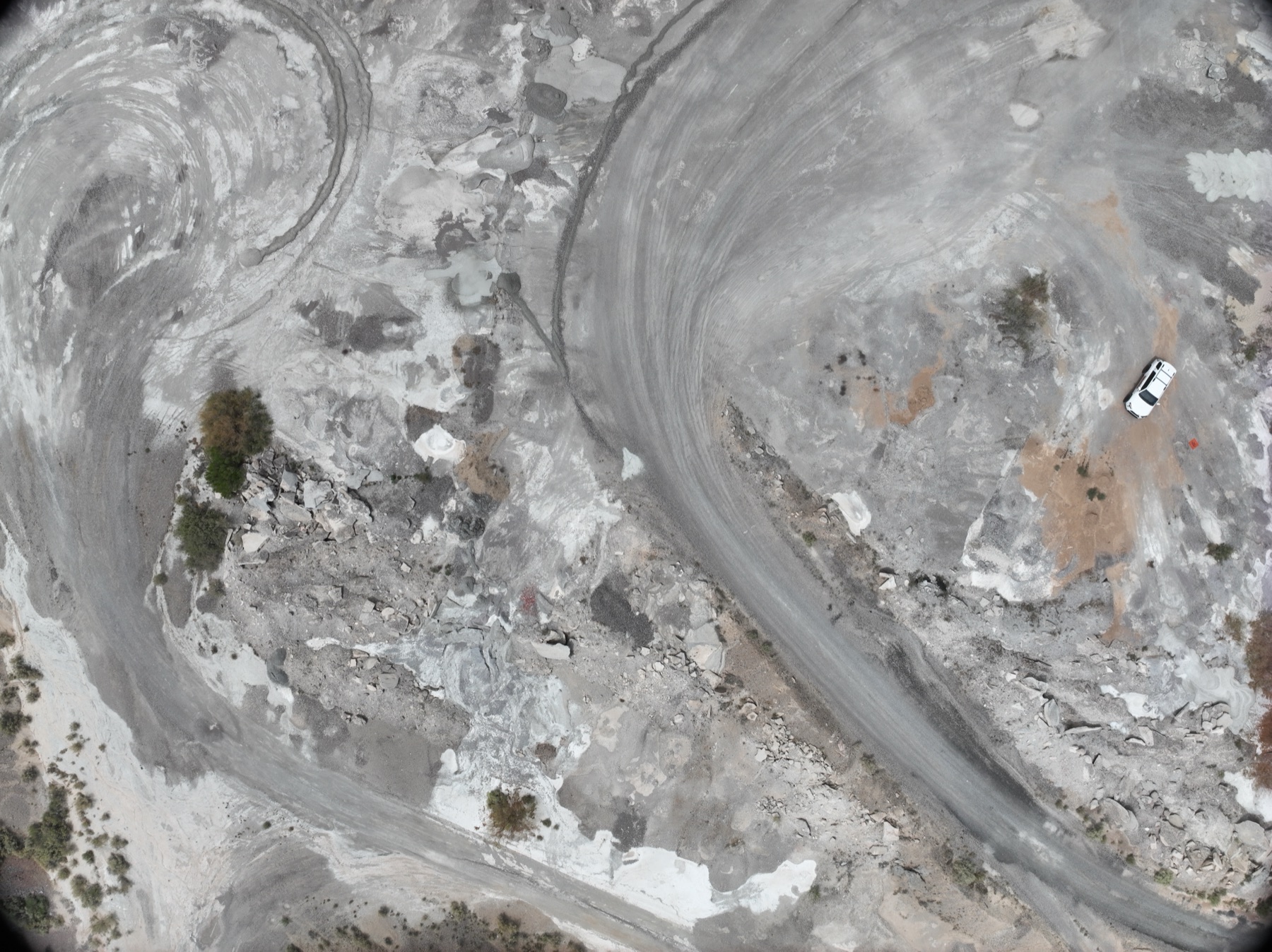
Nadir photogrammetry passes over material piles — processed into defensible volumes the operator uses for inventory. Repeatable, comparable, and nobody walks the pile.
VOLUMETRICS · REPEATABLE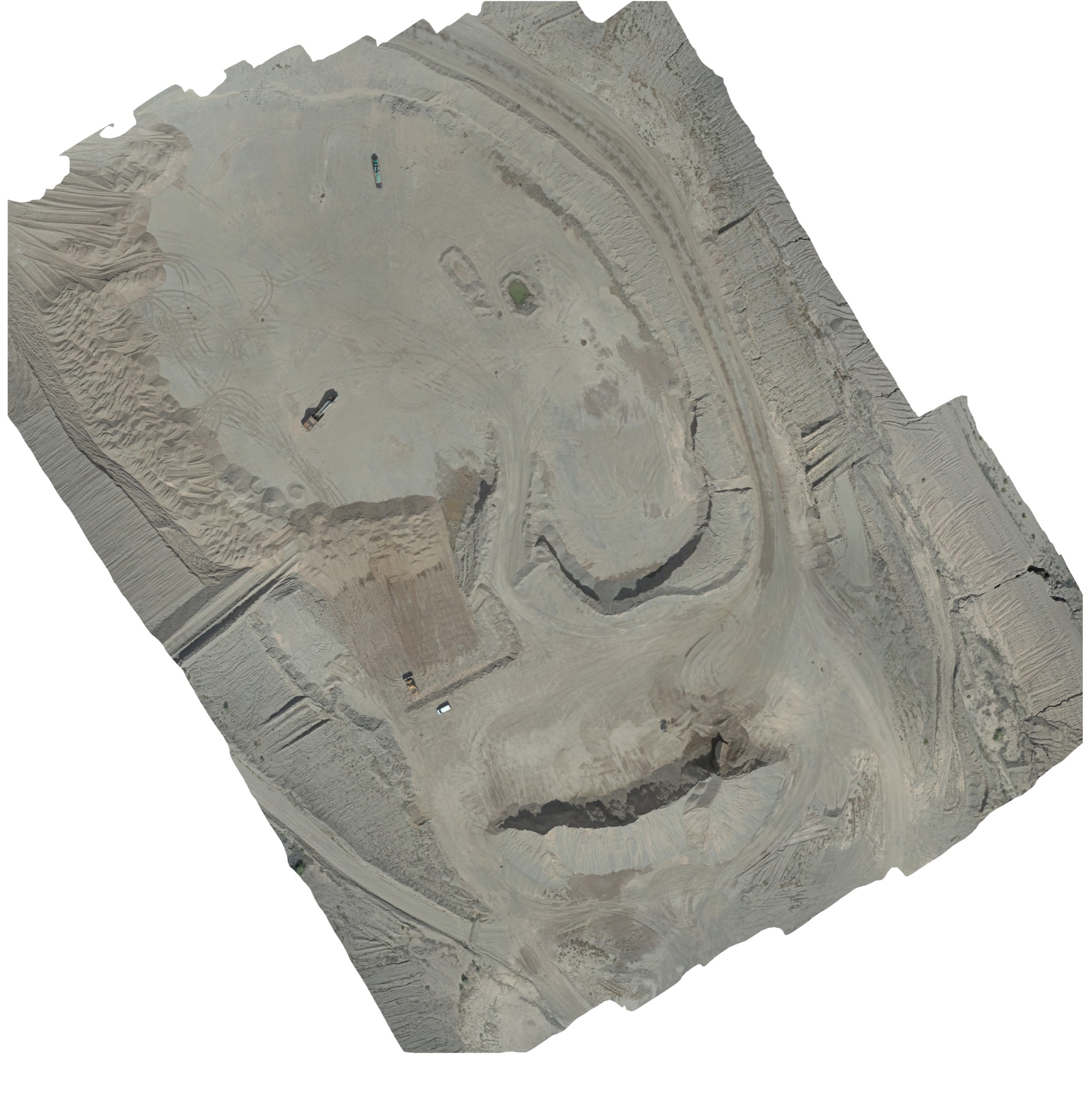
A real orthomosaic export from an Arizona mine survey — the whole site in one measurable map, ready for the engineer's overlay and the next campaign's comparison.
ORTHO · MEASURABLEFrom Tucson we cover southern Arizona's mining region — recurring surveys, volumetrics, and inspections, flown by FAA Part 107 pilots with full insurance and site-safety compliance.
Scoped like engineering work, because it is.
Site, assets, deliverables, and your safety requirements — badging, orientation, and escort protocols included.
Licensed pilots, professional mapping equipment, missions planned around operations and airspace.
Orthos, volumetrics, and elevation models processed and quality-checked against prior surveys.
Measurable deliverables by shared link, organized for your engineering and ops teams.
Mining country, desert conditions, and a Tucson home base. Here's what that means for your site.
Copper country surrounds Tucson — we reach sites across southeastern and southern Arizona without mobilization costs that eat the budget.
Monthly and quarterly surveys with identical framing, so volumes and site changes compare honestly across the year.
Heat, dust, and monsoon wind are our home conditions. Equipment, batteries, and flight windows are planned for them.
TUS Class C, Davis-Monthan restricted areas, and the uncontrolled airspace over most mine sites — we plan and fly all of it weekly.
Mine sites and industrial facilities don't tolerate amateurs — access is controlled, safety is audited, and the data has to be measurable.
Industrial clients typically bundle these — same mobilization when it makes sense.
Photogrammetric stockpile measurement is typically within 1–3% of ground-truth survey when flown correctly — and it's repeatable, which is what makes survey-over-survey inventory meaningful.
Yes — badging, orientations, escorts, and JSAs are normal for us. Send your requirements with the scope.
Yes — monthly or quarterly programs with consistent framing are most of our mining work.
Southern and southeastern Arizona routinely — mine sites, plants, and infrastructure within a day's mobilization of our Tucson base.
Single-site surveys typically start around $500; recurring volumetric and mapping campaigns quote by site and cadence.
FAA Part 107 certified and fully insured — COI and safety documentation provided for your vendor file.
Rated 5.0★ from 271 verified Google reviews across our locations.
John and team are the consummate professionals! Very reliable, quick, and high quality deliverables!
Professional, efficient, and easy to work with. The team delivered clean, high-quality aerials and communicated clearly throughout the project.
Needed work done quickly for drone photography. They responded quickly, knew exactly what was required, and explained it well — great customer service.
John was a professional and very knowledgeable. He made the process of getting drone footage seamless and did an exceptional job.
Absolutely amazing experience with Desert Drones. They did a shoot for my business and made my product really speak for itself!
John is a true professional. Every time we need drone photography or videography done, he is excited to take on the project.
Send the site and the deliverable — we'll scope it, quote it, and fly it from right here in Tucson.