Trustindex verifies that the original source of the review is Google.
Desert Drones is fantastic to work with! They do an incredible job bringing our vision to life and capturing our projects in a way that truly showcases the work being done. Highly recommend their team. Thanks again, Desert Drones!
brooke ryan
Trustindex verifies that the original source of the review is Google.
Desert Drones is awesome to work with! They help bring our vision to life and showcase our work in the best way possible. Highly recommend them to anyone looking for quality drone services. Thanks, Desert Drones!
Frank Segarra
Trustindex verifies that the original source of the review is Google.
John and team are the consummate professionals! Very reliable, quick, and high quality deliverables!
Stephen Cook
Trustindex verifies that the original source of the review is Google.
Professional, efficient, and easy to work with. The team delivered clean, high-quality aerials and communicated clearly throughout the project. One of the best drone service providers we’ve worked with in the Phoenix area.
Greg DeMeritt Jr
Trustindex verifies that the original source of the review is Google.
Needed work done quickly for drone photography. They responded quickly and knew exactly what was required and explained it well. They provided great customer service and got me exactly what I needed, when I needed. Finally found my Drone guys!
Doug Fleming
Trustindex verifies that the original source of the review is Google.
John was a professional and very knowledgeable. He made the process of getting drone footage seamless and did an exceptional job. The speed of completion along with quality of his work was excellent. Highly recommend using them if...
Good JuJu Agency
Trustindex verifies that the original source of the review is Google.
John is true professional. Every time we need some drone photography or videography done John is excited to take on the project. From midnight fireworks displays to busy sections of the city with all kinds of obstacles, working with Desert Drones never fails to hit the mark.
Jesus Figueroa
Trustindex verifies that the original source of the review is Google.
Absolutely amazing experience with Desert Drones. They did a shoot for my business and I must say, they made my product really speak for itself! The aerial shots were stunning and perfectly captured every special moment. John was very professional, punctual, and easy to work with. Highly recommend them for any event coverage—you won’t be disappointed!
Eustolia Schau
Trustindex verifies that the original source of the review is Google.
Great company and amazing aerial photography!
Katie Schwertz
Trustindex verifies that the original source of the review is Google.
John took care of the interior and exterior drone footage for our manufacturing facility in Tucson. He was great to work with! Very knowledgeable, answered all our questions, and shot some great videos. He was also quick to respond to emails and calls throughout the whole process. I would definitely use Desert Drones again in the future.
Las Vegas is one of the most construction-active cities in the United States — with Strip resort expansions, the Convention Center District buildout, Raiders Allegiant Stadium ripple effects, and explosive residential growth in Henderson and Summerlin reshaping the valley. At Desert Drones, we provide construction drone services throughout Las Vegas and the greater Clark County metro, delivering the aerial data contractors, developers, and project managers need to build efficiently in the desert.
Our FAA-certified pilots capture high-resolution aerial photos, 4K video, and precision mapping that improve communication, reduce risk, and keep every phase of your Las Vegas project on schedule — from pre-groundbreaking to certificate of occupancy.
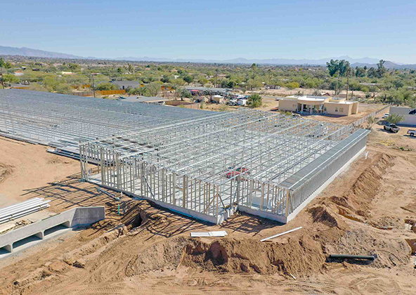
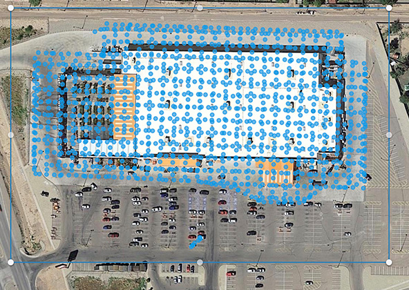
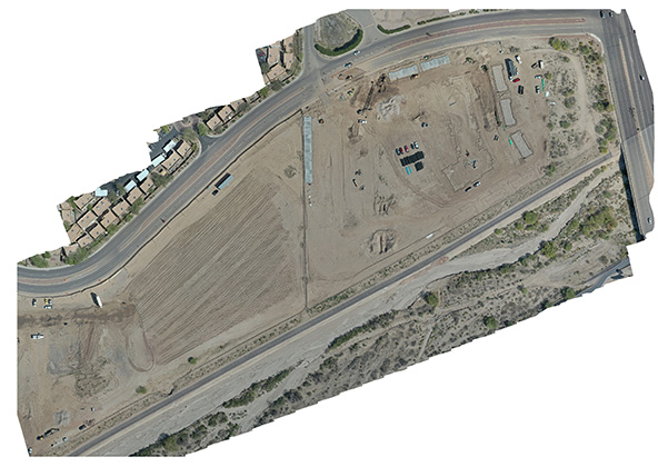
Progress Monitoring & Site Documentation
Las Vegas construction moves fast — casino towers, logistics warehouses, and master-planned communities all require consistent, reliable progress documentation for investors, lenders, and GCs. Our drones provide:
Scheduled weekly or biweekly aerial site photography for every project phase
4K progress video for investor decks, lender draws, and owner updates
Before-and-after comparisons for compliance and subcontractor accountability
Whether you’re managing a high-rise on the Strip, a master-planned community in Summerlin or Henderson, or a last-mile logistics center in North Las Vegas, Desert Drones delivers the visuals that keep your project on track.
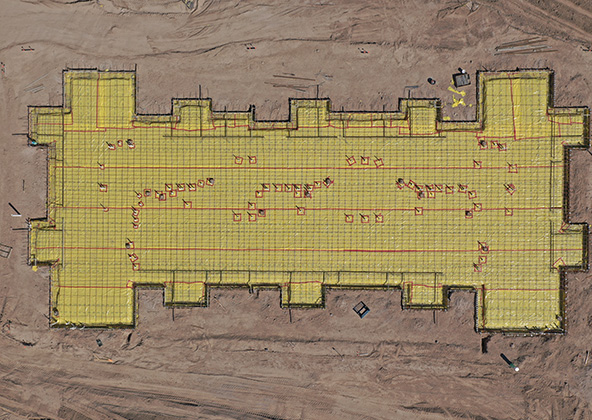
Mapping, Surveying & 3D Modeling
The Las Vegas Valley’s flat desert terrain, caliche soil conditions, and complex drainage infrastructure make precise mapping essential before and during construction. Our drone mapping deliverables include:
Orthomosaic and topographic maps accurate to a few centimeters
3D surface models for grading, drainage analysis, and elevation verification
Cut-and-fill volumetric reports to verify earthwork and material quantities
Geo-referenced data compatible with Civil 3D, Revit, and GIS
Developers in Henderson, Summerlin, and the North Las Vegas industrial corridor use our aerial mapping to validate site conditions and reduce costly rework during large pad development phases.
Safety Inspections & Risk Management
Las Vegas construction sites face extreme conditions: summer heat exceeding 115°F, strong desert winds, and complex multi-story casino and resort construction that puts workers at significant height. Our drones reduce risk and enhance safety by enabling:
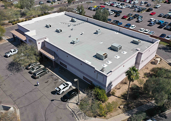
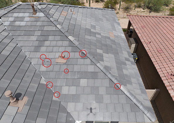
Remote inspection of high-rise facades, scaffolding, and roof structures
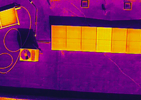
Thermal imaging to detect electrical, moisture, and HVAC system issues
OSHA compliance documentation and safety audit photography
Daily conditions monitoring on fast-track Las Vegas resort projects
By keeping crews on the ground during inspections, we reduce heat-related injuries and liability exposure on every Las Vegas construction site.
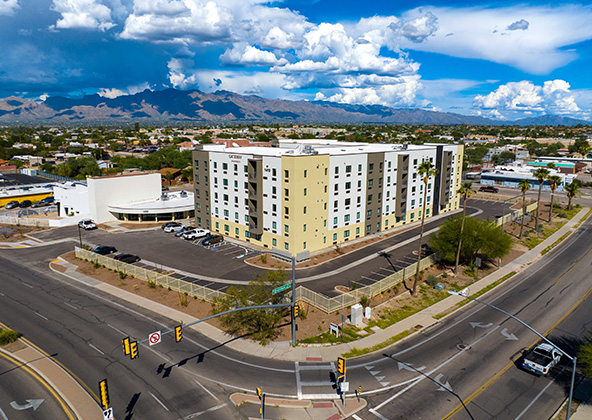
Time-Lapse Flights & Stakeholder Reporting
Las Vegas casino resorts, sports and entertainment venues, and multi-phase master communities all require compelling progress documentation for investors, media, and city planners. Our drone time-lapse and reporting services deliver:
Sequential aerial photos for investor updates and lender draw requests
Time-lapse compilation videos ideal for Strip project groundbreaking announcements
Marketing footage for pre-leasing industrial and commercial builds in North Las Vegas
We fly GPS-locked consistent routes each visit so your time-lapse maintains perfect framing across multi-year construction programs — from foundation pour to ribbon cutting.
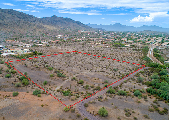
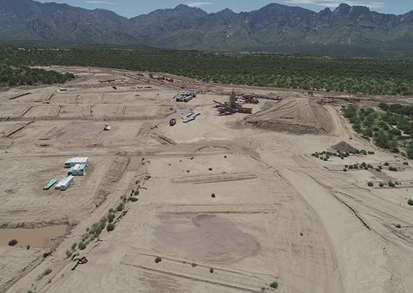
Pre-Construction Planning & Site Validation
Before breaking ground in the Las Vegas Valley, aerial data helps confirm site assumptions and reduce planning risk. Our pre-construction drone services identify:
Terrain slope, drainage channels, and caliche layer mapping
Utility corridor and easement visualization
Existing conditions documentation for permits, financing, and entitlements
Adjacent parcel and traffic access analysis for Strip-adjacent development
Builders in Henderson, North Las Vegas, and unincorporated Clark County use our pre-construction surveys to validate site conditions and catch grading issues before they become costly change orders.
Large-Scale & Infrastructure Projects
Las Vegas hosts some of the largest construction projects in the country — from Strip resort towers and stadium infrastructure to last-mile logistics parks in North Las Vegas and massive master-planned residential communities in Summerlin and Henderson. Desert Drones supports large-scale construction with:
Multi-flight mapping programs for large pad and civil infrastructure sites
Regular stockpile volumetrics for earth and aggregate tracking
Scheduled progress documentation for multi-phase resort and mixed-use developments
LIDAR-compatible data capture for civil engineering and survey firms
For Nevada’s largest projects, we provide dedicated project manager coordination and adapt flight programs to match your GC schedule and milestone reporting cadence.
How Our Las Vegas Drone Program Works
Getting started with Desert Drones on your Las Vegas construction project is simple:
A short project kickoff call to understand your schedule, airspace constraints, and deliverable requirements
We manage all FAA LAANC authorizations for operations near Harry Reid International and Henderson Executive airports
Flights are scheduled around your GC timeline — weekly, biweekly, or milestone-triggered
Deliverables — annotated photos, 4K video, maps — delivered via secure download link within 24–48 hours
Ongoing coordination with your superintendent, PM, or owner’s rep throughout the project
We serve the Strip, Henderson, Summerlin, North Las Vegas, Boulder City, and surrounding Clark County — one consistent team, one point of contact, every phase of your project.
Why Desert Drones for Las Vegas Construction Projects
Las Vegas contractors and developers trust Desert Drones for professional reliability, fast turnarounds, and deep familiarity with Clark County construction markets. Here’s why:
FAA Part 107-certified pilots and $2M liability insurance
Authorized to fly near Harry Reid International Airport and Henderson Executive Airport (LAANC certified)
Deliverables within 24–48 hours — photos, 4K video, annotated maps
Experience across the Strip, Henderson, Summerlin, North Las Vegas, and Boulder City
Comfortable operating in extreme heat, high-wind events, and complex airspace
Our mission: give your Las Vegas construction project the aerial intelligence edge it needs — on time, every time.
Frequently Asked Questions — Construction Drones in Las Vegas, NV
We serve all of Clark County — including the Strip, Henderson, Summerlin, North Las Vegas, Boulder City, and surrounding unincorporated areas. We also cover Mesquite and Pahrump for larger infrastructure projects.
Yes — we are FAA LAANC authorized to operate in controlled airspace around Harry Reid International and Henderson Executive airports, with full coordination with air traffic authorities.
Our drone maps are accurate to a few centimeters using ground control points. We account for Las Vegas Valley’s flat desert terrain and caliche soil conditions, delivering data compatible with Civil 3D, Revit, and GIS platforms.
Absolutely. Our time-lapse compilations and progress videos are regularly used in investor decks, lender draw presentations, gaming commission filings, and city planning submissions for Las Vegas resort and mixed-use projects.
Yes. Desert Drones carries $2 million in liability insurance and adheres to FAA Part 107 and OSHA safety standards on all Las Vegas and Clark County construction sites.
Licensed & Insured
Desert Drones, LLC is operated by a licensed pilot by the FAA (Federal Aviation Administration), Desert Drones, LLC is licensed & insured up to $2M.
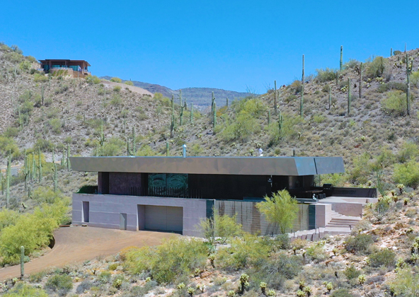
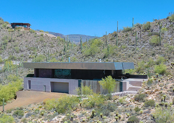
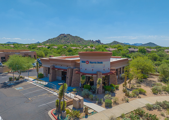
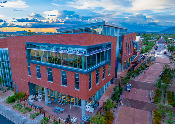
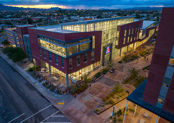
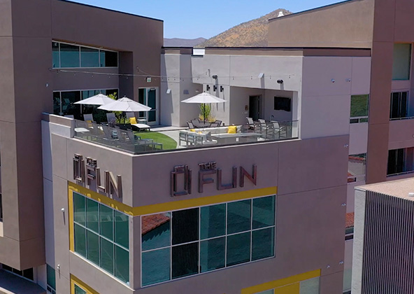
Aerial photography provides a unique perspective. Real estate listings, events, construction progress photos and site surveillance are just a few examples of where you need drones to do the job right.
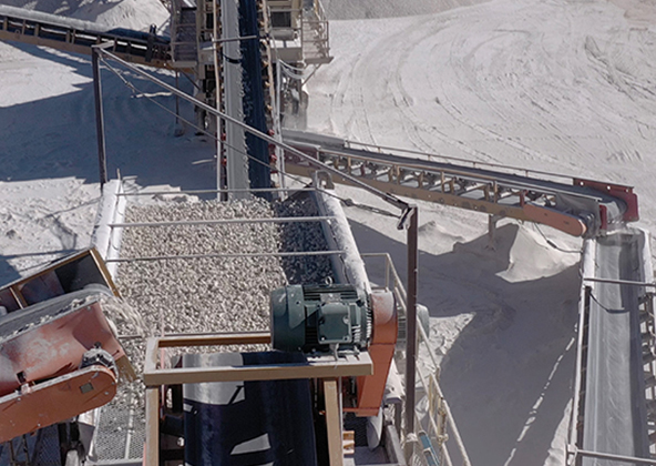
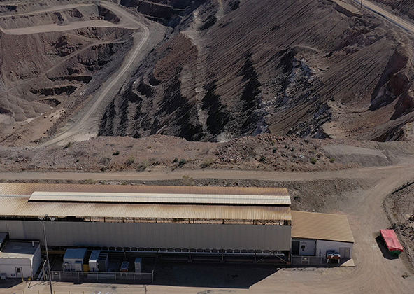
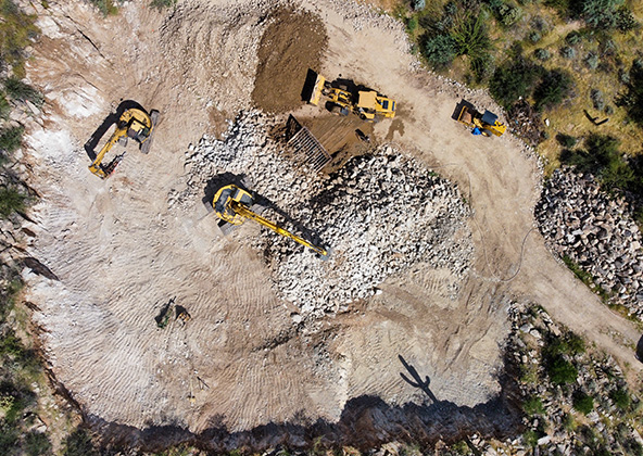
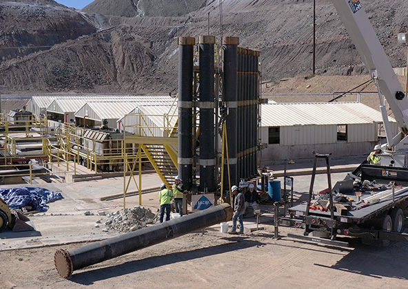
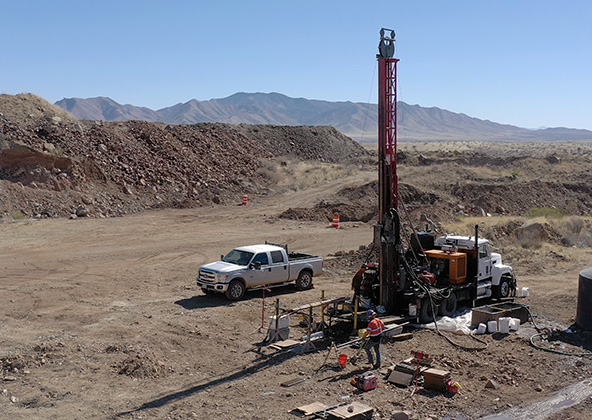
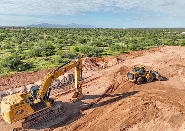
Mining
Aerial photography and videography provide fast and cost effective mapping, documentation, elevation and stockpile calculations to streamline your mining operations.
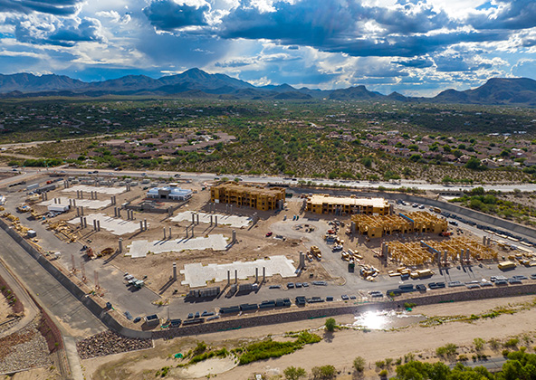
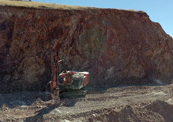
Industrial
Drones are uniquely qualified to capture aerial data for inspections of cellular, electrical, mining, solar and other industrial sites. Providing higher quality data at a lower risk rate than traditional inspections, makes drone services a must on your project.
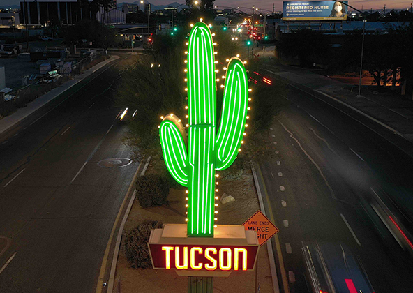
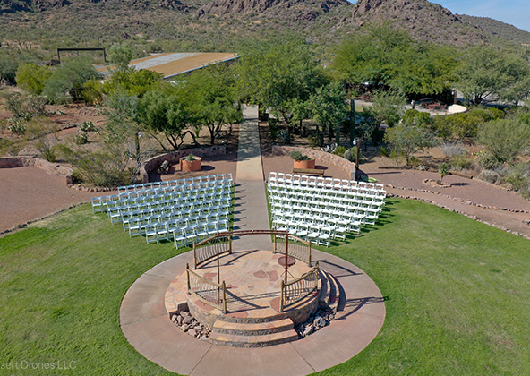
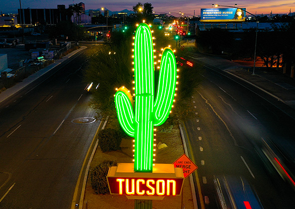
Events
No matter what kind of event you are having, aerial photography and videography make your audience feel like they are there. Make your advertising, marketing campaign and website stand out with dramatic pictures and videos that only drones can capture.
Licensed & Insured
Desert Drones, LLC is operated by a FAA (Federal Aviation Administration) licensed pilots, Desert Drones, LLC is licensed & insured up to $2M.
Aerial photography and videography provide fast and cost effective mapping, documentation, elevation and stockpile calculations to streamline your mining operations.
Southwest Arizona is a great place for solar. In phoenix and tucson we get over 300 days of sun every year. Let us give you valuable information while your system is still under warranty. Make sure you are getting what you paid for in you PV system.
Gallery
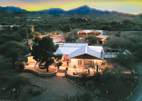
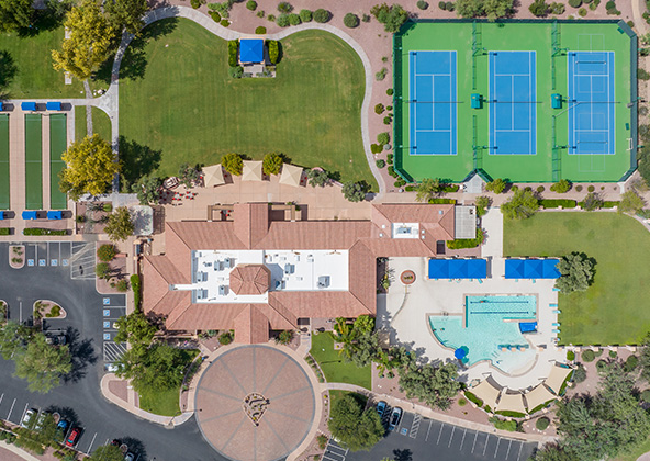
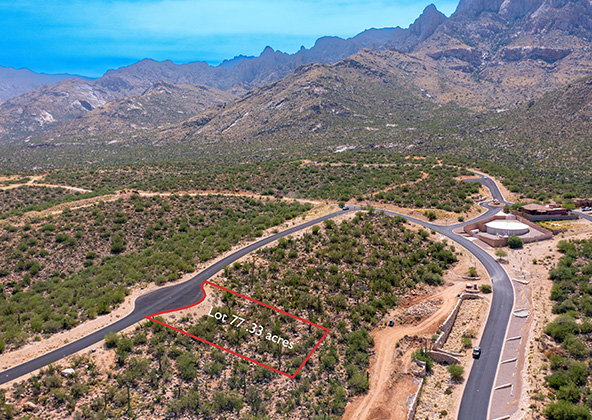
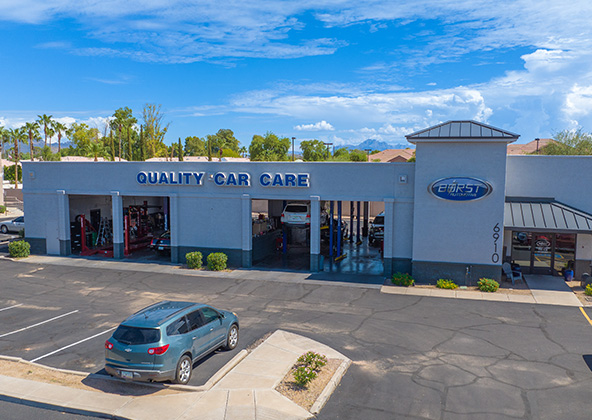
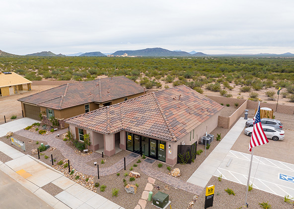
MLS aerial drone photos for commercial and residential real estate
drone services for real estate
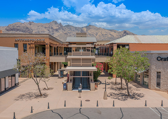
Aerial Drone Photography for Marketing and Advertising