
A Las Vegas civil-engineering firm needed survey-grade topography for a commercial parcel in Henderson, delivered in the formats their CAD workflow already used. Desert Drones flew the site on the client's ground control, processed it with independent checkpoints, and delivered the full package. It became the first of nine sites across the valley in 2026.
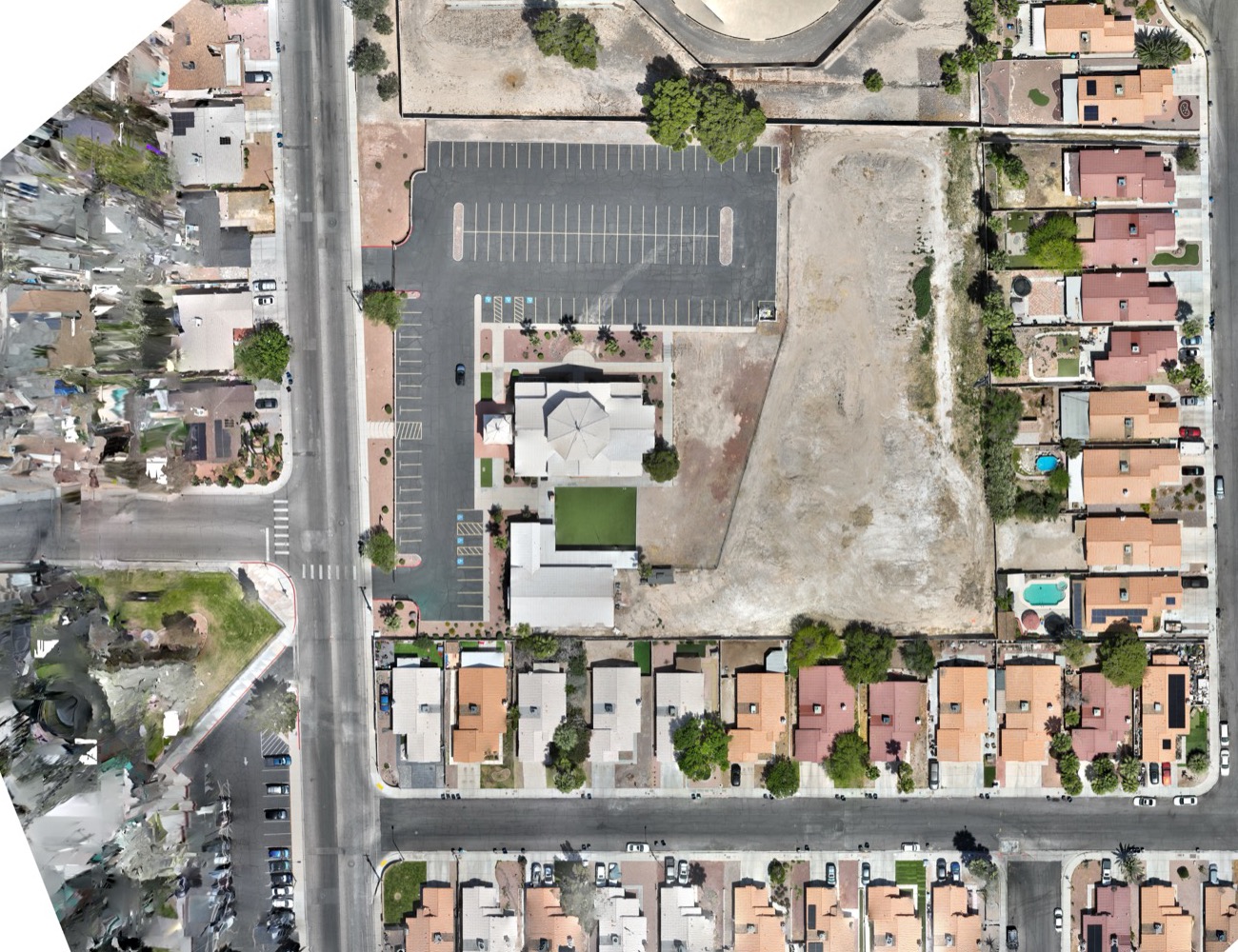
Civil engineers need more than a pretty aerial. For a site plan they need elevations they can trust, in a coordinate system that matches the rest of their project. This parcel in Henderson, a commercial building with a large unimproved lot behind it, was the first site the firm asked us to map. They set their own ground control points and supplied the coordinates; our job was to fly to that control and prove the result.
Two flight patterns were used: a nadir grid for the orthomosaic and surface model, and an oblique set to improve the reconstruction of walls, slopes and the building. The drone recorded RTK-corrected positions for every frame. In processing, some of the client's control points were held back as checkpoints, so the accuracy report shows how well the model matches points it was not fitted to. Every flight here sits inside controlled airspace, so each one was authorized through FAA LAANC before takeoff.
A georeferenced orthomosaic, a digital surface model and a dense point cloud, plus contour lines, a grid and a TIN exported as DXF files that opened directly in the firm's CAD software. Each processing run shipped with its quality report. The firm has since booked further sites across the valley, in Henderson, northwest Las Vegas, North Las Vegas and unincorporated Clark County, on the same process.
A conventional topographic survey of a parcel like this takes a crew most of a day on the ground and costs accordingly. The drone captures the same ground in under an hour, and because the client controls the ground points, the result slots into their survey record rather than sitting beside it. For the engineering firm it means faster site plans; for the developer it means the design starts sooner.
Every flight is by an FAA Part 107 certified, insured pilot. Tell us where the site is and what you need back.