
Phoenix is one of those cities that genuinely looks better from above. Scottsdale’s luxury estates with Camelback Mountain as a backdrop. South Mountain Park framing neighborhoods from the south. The Salt River winding through the Valley. Saguaro-covered hillsides meeting manicured development. The Superstitions in the distance on a clear winter morning. From the ground you’re in it. From the air, you see what makes Phoenix different from everywhere else.
That’s the core of what drone photography phoenix az businesses, realtors, developers, and event planners are after — aerial perspective that captures what Phoenix actually looks like, not just what’s in front of a camera lens at eye level. We’ve built a significant portion of our operation around the Phoenix metro because the demand is real and the city photographs exceptionally well from above.
We handle drone photography across every major industry vertical active in Phoenix: real estate, construction, commercial shoots, events, inspections, and mapping. Here’s how aerial photography works across each.
Real Estate: What Phoenix Buyers Are Actually Buying
Phoenix luxury real estate is a competitive market right now, with buyers relocating from California, the Pacific Northwest, and the Northeast looking for luxury properties at prices that feel reasonable by their home market standards. Scottsdale, Paradise Valley, North Phoenix, Desert Ridge, Ahwatukee — these are buyers with high expectations and sharp eyes.
What they’re buying isn’t just a house. They’re buying Camelback Mountain views. They’re buying proximity to South Mountain Park. They’re buying desert character — mature saguaros, sweeping lot views, that golden light at sunset that makes Phoenix look like no other city. Drone photography captures all of that in a way that ground-level listing photos simply can’t. An aerial shot of a Paradise Valley estate with Camelback in the frame communicates value immediately. It stops the scroll. It makes buyers want to see the property in person.
We’ve covered listings across every major Phoenix neighborhood, from smaller starter homes where aerial context still adds value to multi-million dollar estates where drone photography is mandatory. Realtors who consistently use aerial photography on their listings consistently move properties faster.
Construction: Documenting Phoenix’s Ongoing Boom
Phoenix’s construction market has been in sustained boom mode for years, driven by corporate relocations — Intel’s fab in Chandler, TSMC’s semiconductor plant in North Phoenix, continued expansion of logistics and distribution across the metro. Major industrial, commercial, and residential development is active across the Valley, from Queen Creek and Gilbert in the southeast to Peoria and Surprise in the northwest.
Drone photography phoenix az construction projects need provides developers and GCs with aerial progress documentation that works for investor reporting, loan draws, permitting, and site monitoring. We cover active construction sites with regular scheduled flights — weekly or monthly depending on project pace — delivering timestamped aerial imagery that shows exactly where the project stands at each documentation date.
The Salt River Pima-Maricopa Indian Community developments, the Scottsdale Airpark’s ongoing commercial expansion, the massive master-planned communities going up in far North Phoenix and the East Valley — we’ve covered construction across the metro and understand how to document large-footprint projects that you simply can’t communicate from the ground.
Commercial and Corporate Shoots
Phoenix’s corporate presence has expanded dramatically. Major companies with Arizona operations need professional aerial imagery for websites, marketing collateral, executive communications, and corporate reports. Facility aerials showing scale and location. Campus overviews. Industrial operations documented from above. Retail center photography showing traffic access and context.
We work with corporate marketing teams, commercial real estate brokers, and advertising agencies who need professional-grade aerial content. Deliverables formatted for every platform: website-ready imagery, print-resolution photos, social content, video in multiple formats. Post-production including color grading, stabilization, and editing to spec. Three to five business day turnaround on standard commercial projects.
Phoenix’s consistent sunshine — 300+ days of clear sky — makes aerial commercial photography nearly always possible. We rarely lose shoots to weather, which matters when you’re coordinating photo shoots with executive calendars and marketing campaign schedules.
Events: From Wedding Venues to Corporate Functions
Phoenix’s event scene ranges from intimate desert weddings to massive corporate conventions at the Phoenix Convention Center and State Farm Stadium. Desert Botanical Garden events, Scottsdale Resort properties, mountain ranches in Cave Creek and Carefree — Phoenix’s event venues photograph beautifully from above, and aerial coverage has become a standard part of high-end event documentation.
Wedding photography is where we see the most demand. Couples getting married at Sanctuary Camelback Mountain Resort, The Farm at South Mountain, or private ranches in the Cave Creek area want aerial footage that captures the venue in full — the desert landscape, the setting sun, the ceremony space in context with the surrounding scenery. Ground photographers get the details. We get the story of the place.
Corporate events at Phoenix area venues benefit from aerial coverage that captures scale and energy — crowd size, venue layout, brand presence across a large outdoor space. Footage is used for post-event marketing, internal communications, and to set up future events with compelling visual evidence of how the last one looked and felt.
Roof and Property Inspections
Phoenix and the East Valley sit in a heat zone that ages roofing materials faster than almost anywhere in the country. Drone photography phoenix az inspectors use allows them to document roof conditions, identify heat damage, and assess post-storm situations without anyone climbing in extreme heat. HOA communities throughout Scottsdale, Chandler, Gilbert, and Phoenix itself use us for annual roof condition surveys — fly the community, document every roof, produce a condition report, and prioritize maintenance before small problems become expensive ones.
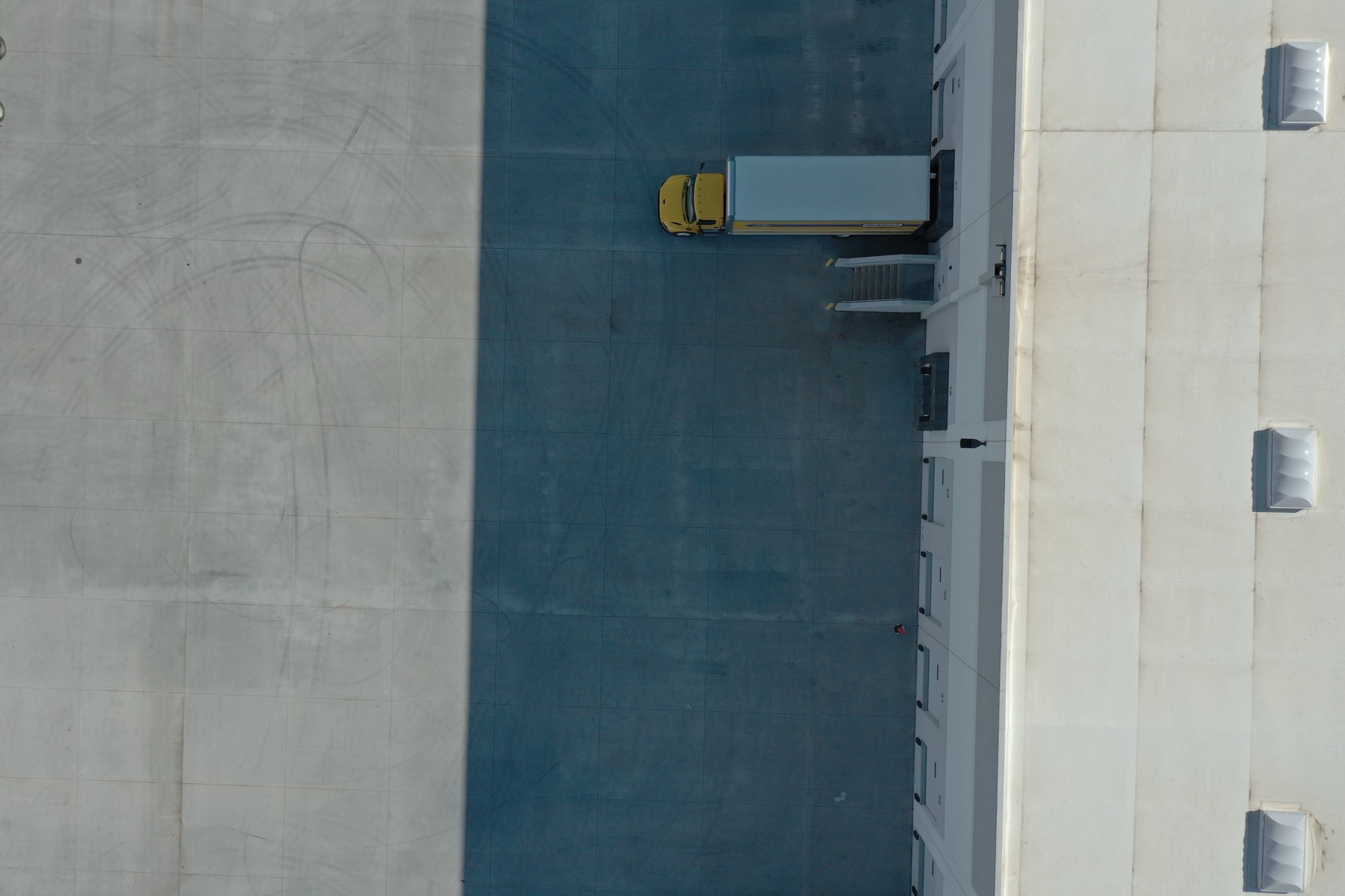
Commercial property inspections are another major piece of this — warehouse districts in the I-10 corridor, industrial parks in Mesa and Tempe, office campuses throughout the Valley. Facility managers use aerial inspection to document HVAC systems, roof conditions, parking lot conditions, and overall property status in a way that’s much faster and safer than manual inspection.
Solar Panel Inspections and Mapping
Arizona leads the country in residential solar adoption, and Phoenix sits at the center of that market. Hundreds of thousands of rooftop solar arrays across the Valley need periodic inspection to identify panel degradation, wiring issues, and mounting problems. Drone photography with thermal imaging identifies underperforming panels that ground-level inspection would miss — a hot spot on a thermal image is a failing panel before it becomes a dead panel.
We also handle solar farm documentation and inspection for commercial and utility-scale installations. Phoenix’s solar industry is substantial — large arrays are common in the surrounding desert and on commercial rooftops throughout the metro. Aerial mapping of large installations, combined with thermal inspection, gives system owners and operators the data they need to maintain performance.
Mapping and Land Survey Support
Phoenix’s ongoing development means constant demand for topographic data, site surveys, and land assessment photography. Drone photogrammetry produces accurate 3D models and orthomosaic maps of development sites, undeveloped land, and existing facilities. We work with surveyors, engineers, developers, and environmental consultants who need accurate aerial data to support permitting, planning, and development decisions.
The West Valley’s large undeveloped parcels, the agricultural conversion happening in the southeast Valley, the infill development sites scattered through Phoenix proper — all of these benefit from aerial mapping that gives planners and developers accurate site data before they commit to development decisions.
Book Your Phoenix Drone Photography Session
Real estate listing, construction documentation, corporate shoot, event coverage, inspection, or mapping project — if it’s in the Phoenix metro, we cover it. Drone photography phoenix az clients across every industry trust us for professional-grade aerial imagery, reliable scheduling, and fast turnaround that fits actual business timelines.
FAA-certified, fully insured, experienced across Phoenix’s diverse geography and the full range of industries active in the Valley. We know how this market works and what aerial photography needs to accomplish to be genuinely useful.
Contact Desert Drones LLC to schedule your Phoenix aerial photography session. Visit desertdronesllc.com or call for a free consultation and quote on any drone photography service in the Phoenix metro area.