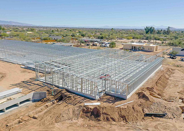
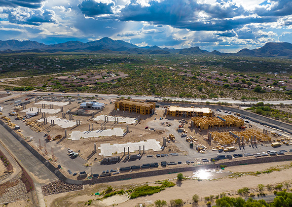
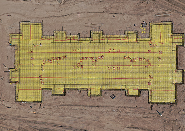
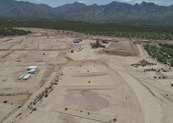
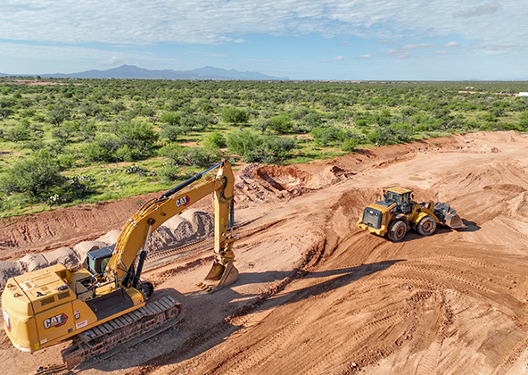
Construction
Videography
Solar
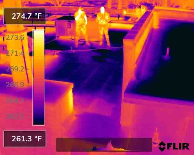
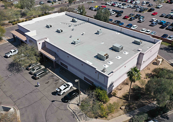
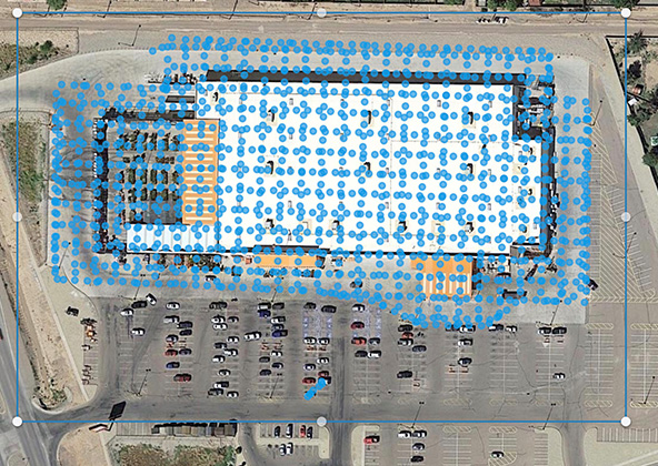
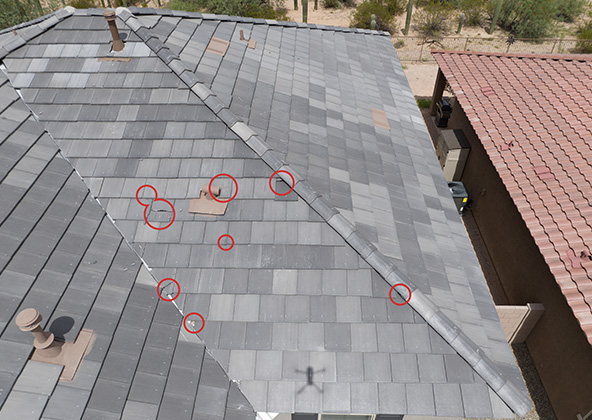
Roof Inspections
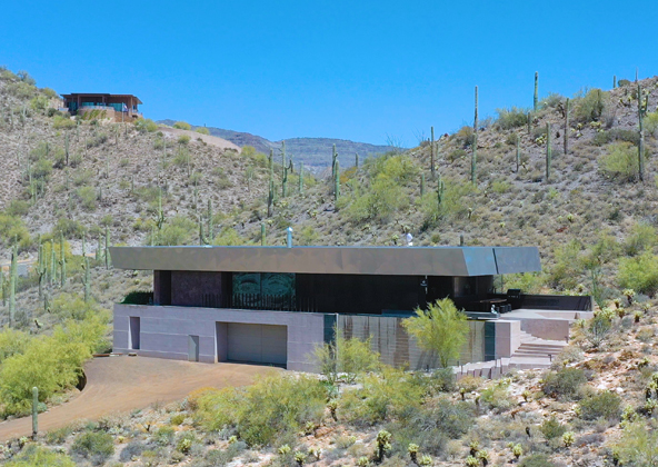
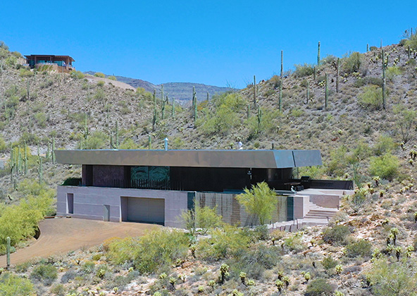
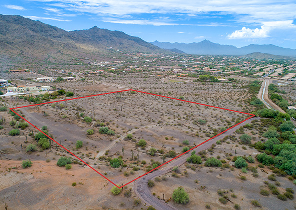
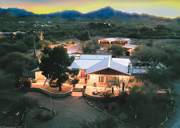
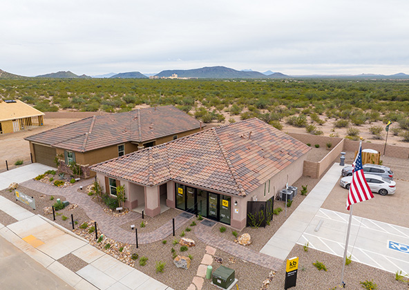
Real Estate
Photography
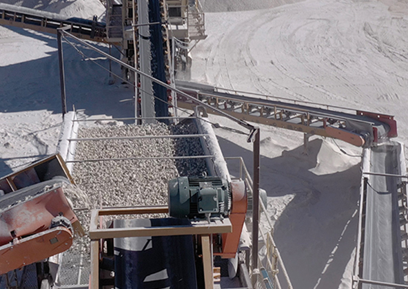
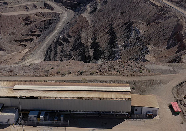
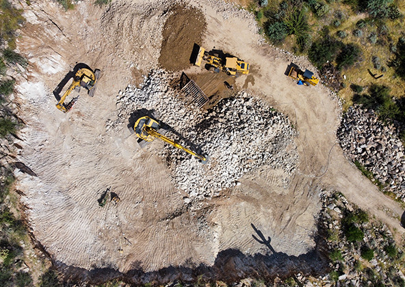
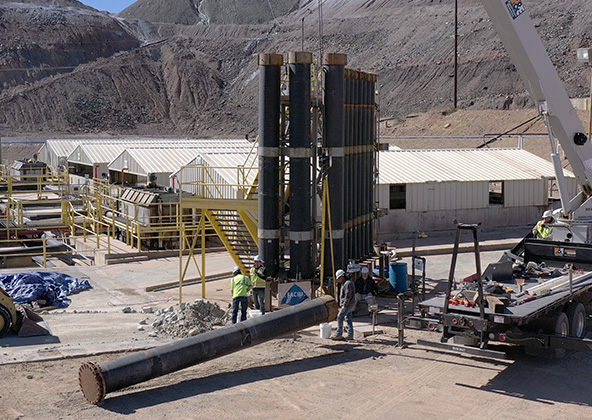
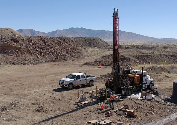
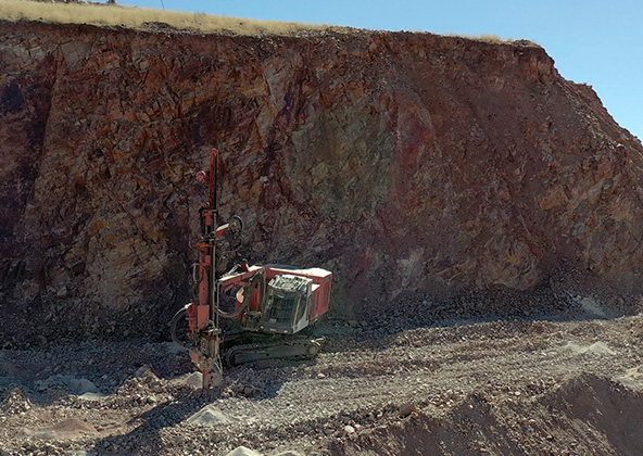
Mining
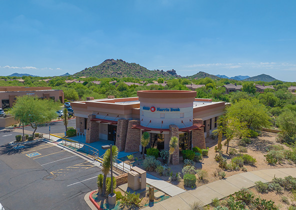
Industrial
Events
Construction
Videography
Solar
Roof Inspections
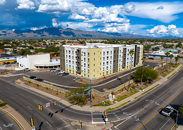
Real Estate
Photography
Mining
Industrial
Events
Construction
Industrial/ Mining
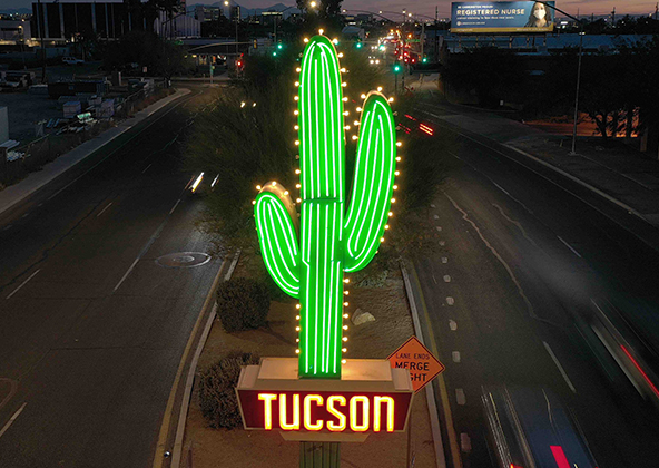
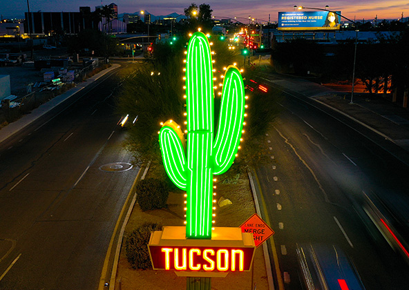
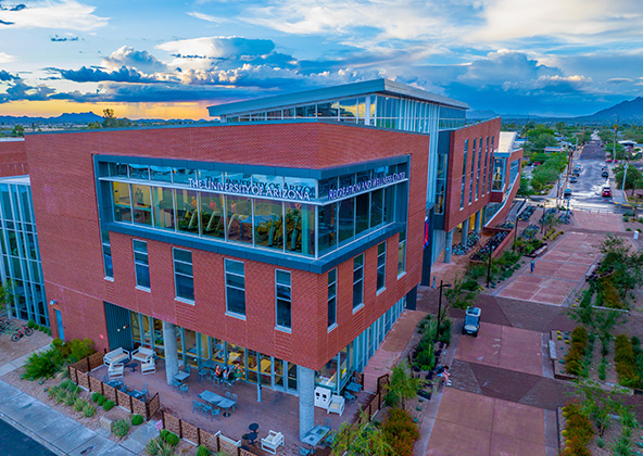
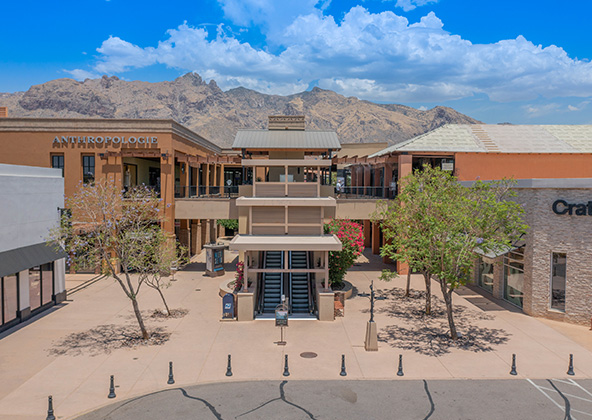
Marketing/Advertising
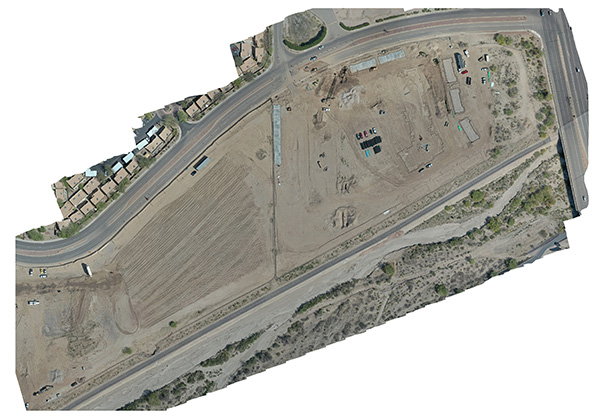
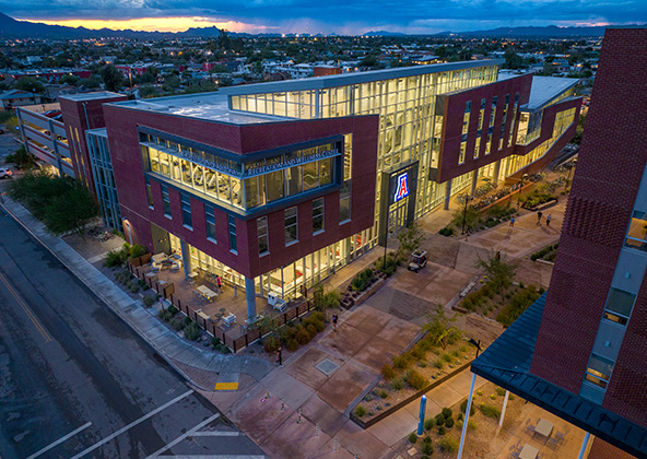
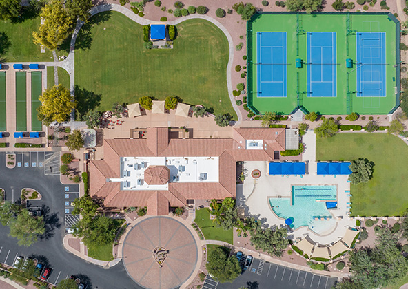
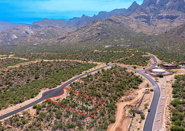
Real Estate
Roofing
Solar
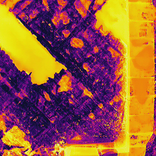
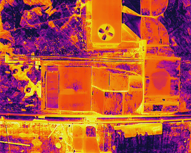
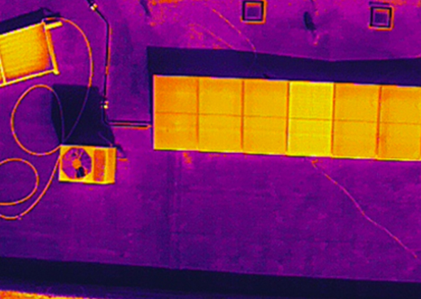
Thermal
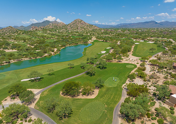
Gallery
Construction
Industrial/ Mining
Marketing/Advertising
Real Estate
Roofing
Solar
Thermal
Gallery


Locally Owned

Loyalty

Integrity