Industrial and Mining Drone Services in Phoenix, AZ

industrial drones

Aerial Mapping and Surveying for Mining & Industrial Sites

Accurate site data is critical for mining companies and industrial managers who need precise measurements to guide daily operations. Our FAA-certified pilots use drones equipped with advanced cameras and sensors to generate orthomosaic maps, 3D terrain models, and volumetric measurements. These deliverables help managers calculate stockpile volumes, cut-and-fill quantities, and site boundaries with incredible precision.

In mining, this means you can determine exactly how much material has been extracted or remains in stockpiles. For industrial facilities, it allows for precise land-use planning, site expansion, and asset tracking. Our Phoenix clients in industries ranging from copper and aggregates to logistics and manufacturing rely on this data to make informed decisions that save time and money.

Drone-based mapping replaces costly manned surveys and dramatically speeds up turnaround times. What once required days or weeks can now be accomplished in hours — without disrupting operations. By integrating our maps into GIS or engineering software, you get real-world data you can act on immediately.

best industrial drones

Industrial Inspections and Safety Applications

Safety is non-negotiable in both industrial facilities and mining operations. Drones give you a safer way to inspect dangerous or hard-to-reach areas — including conveyor systems, crushers, rooftops, smokestacks, and haul roads. Instead of sending workers into hazardous zones, our drones capture high-resolution imagery and video that reveals structural integrity, wear and tear, and potential hazards.

In Phoenix, where extreme desert heat compounds risk, keeping crews out of harm’s way is critical. Our drones help reduce OSHA-reportable incidents, minimize downtime, and provide a permanent visual record of your site’s condition. We also offer thermal drone inspections to identify heat leaks, electrical failures, and equipment malfunctions — issues often invisible to the naked eye.

Mining clients use these inspections to catch problems early, prevent costly breakdowns, and extend equipment lifespan. Industrial facilities benefit from quicker maintenance schedules and fewer operational disruptions. The result: safer crews, better compliance, and improved bottom lines.

industrial drone inspections

Progress Monitoring and Reporting for Stakeholders

Large-scale industrial builds and mining operations often involve multiple stakeholders: investors, executives, contractors, and regulators. Keeping everyone aligned requires consistent, transparent updates. Desert Drones provides progress monitoring with scheduled flights, delivering weekly or monthly aerial photo sets, 4K video updates, and time-lapse sequences that show exactly how your site is evolving.

Mining executives use these deliverables to demonstrate compliance, show production trends, and validate output against goals. Industrial managers leverage them for project oversight, ensuring that contractors deliver on schedule and within scope. Whether it’s a new processing facility in Phoenix or a large-scale quarry in rural Arizona, our aerial reporting helps decision-makers stay fully informed without needing to visit the site in person.

We also provide marketing-quality visuals that industrial and mining companies can use for investor decks, recruitment campaigns, and public relations. Aerial perspectives demonstrate the scale and sophistication of operations, building trust with partners and the community.

drones for industrial use

Why Choose Desert Drones for Industrial & Mining Projects in Phoenix?

  • Industrial and mining projects require experience, precision, and trust. Desert Drones brings all three. We operate under FAA Part 107 certification, carry full insurance, and have years of experience working with some of Arizona’s largest contractors and developers. Our team understands the unique challenges of Phoenix industrial sites and Arizona mining landscapes, from airspace restrictions to remote desert conditions.

    We’ve been recognized as Arizona’s Best Aerial Photographer and are trusted throughout Phoenix, Mesa, Chandler, Glendale, and beyond. With state-of-the-art equipment and proven workflows, we deliver reliable data and visuals that empower smarter decisions and safer operations.

    Whether you need volumetric stockpile reports, thermal equipment inspections, or long-term site monitoring, Desert Drones is your trusted partner. Contact us today to schedule a Phoenix industrial or mining drone assessment and discover how aerial data can transform your operations.

Frequently Asked Questions About Phoenix Industrial & Mining Drones

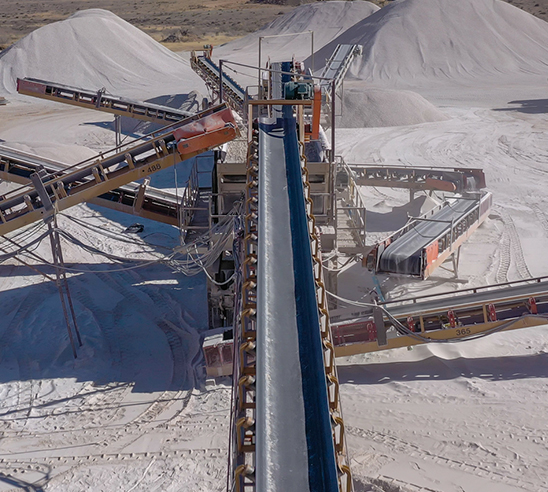
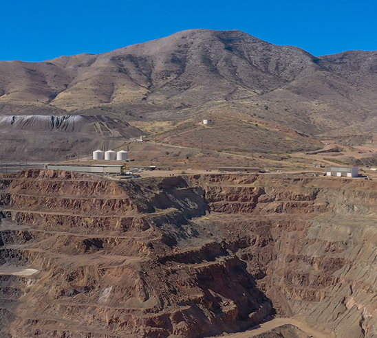
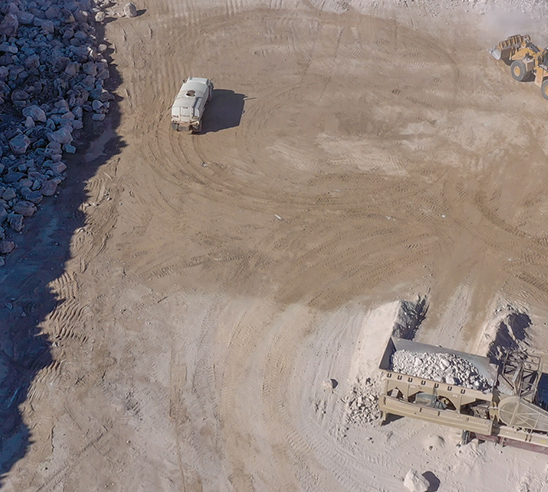
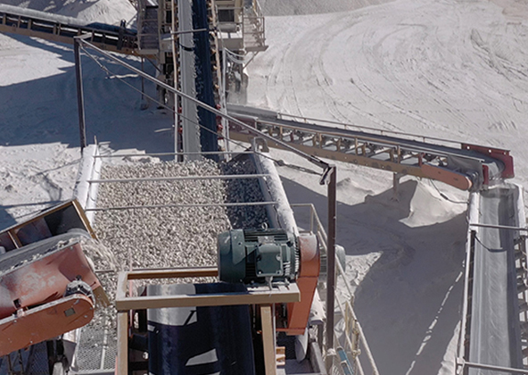
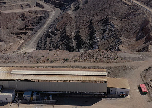
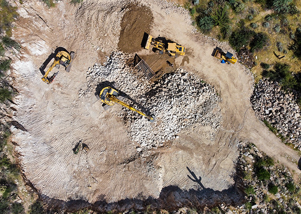
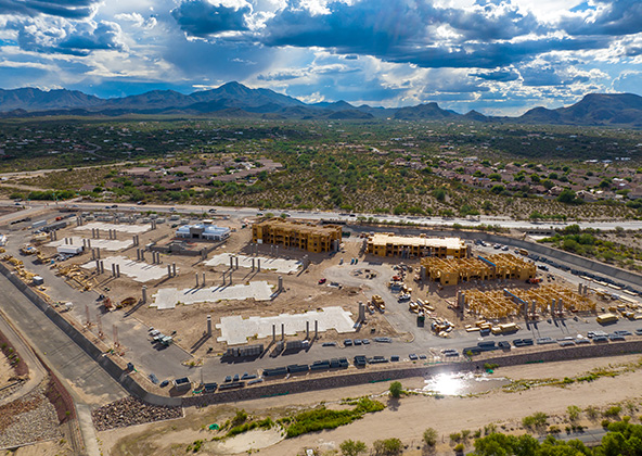
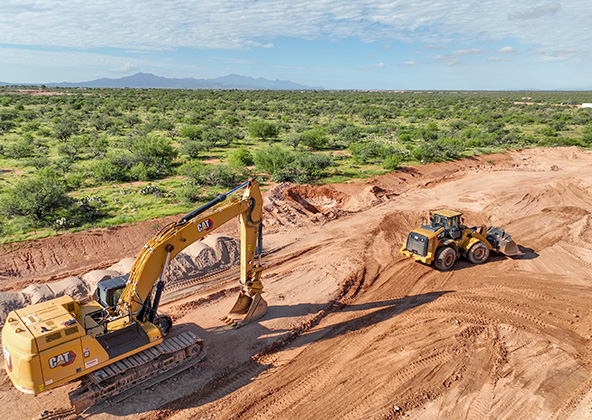
Drones are used to measure stockpiles, haul roads, and excavation sites with incredible accuracy. They provide mining companies in Phoenix and across Arizona with volumetric data, safety inspections, and compliance documentation — all at a fraction of the cost of traditional methods.

While drones don’t replace every type of survey, they significantly reduce the need for ground crews and manned aircraft. Our drone mapping services provide centimeter-level accuracy for planning, asset management, and expansion projects at Phoenix industrial facilities.

Most clients schedule quarterly inspections to stay ahead of maintenance issues. However, sites with heavy equipment, such as mines, may benefit from monthly or even weekly flights to catch problems early and improve operational efficiency.

Yes. Our pilots are experienced in flying in remote desert conditions. We can capture data in areas where traditional surveying equipment is difficult to deploy, making drones ideal for mines outside of Phoenix and across Arizona.

Absolutely. By reducing labor, improving safety, and providing faster data turnaround, drone inspections typically save clients 30–50% compared to traditional inspection methods. For Phoenix companies managing multiple facilities, these savings quickly multiply.

Licensed & Insured

Desert Drones, LLC is operated by a licensed pilot by the FAA (Federal Aviation Administration), Desert Drones, LLC is licensed & insured up to $1M.

Licensed & Insured

Desert Drones, LLC is operated by a FAA (Federal Aviation Administration) licensed pilots, Desert Drones, LLC is licensed & insured up to $1M.

We Are Always Ready To Help!

Why Do Business With Us

locally-owned

Locally Owned

loyalty

Loyalty

integrity

Integrity

dependability

Dependability

Contact Us!