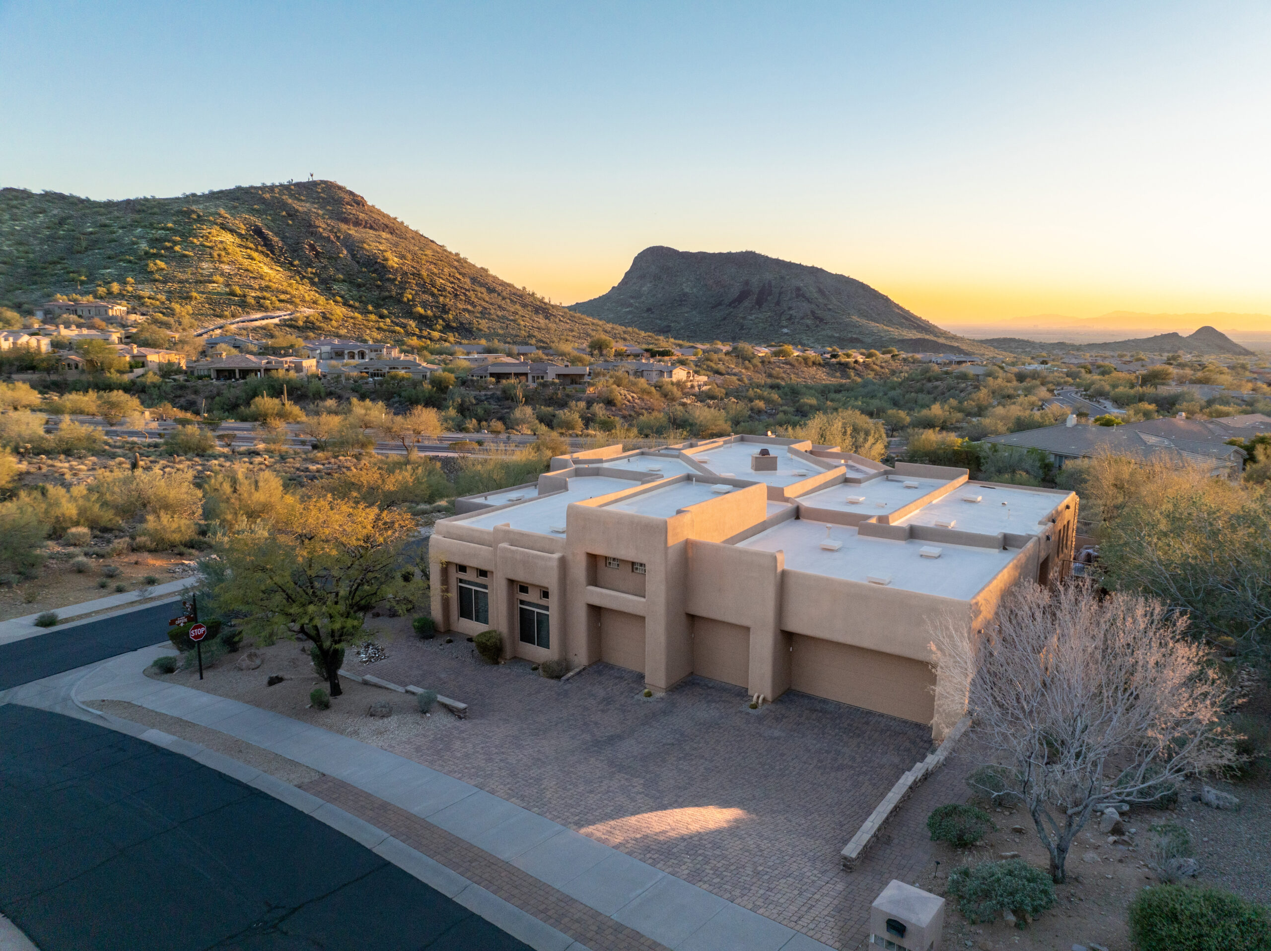
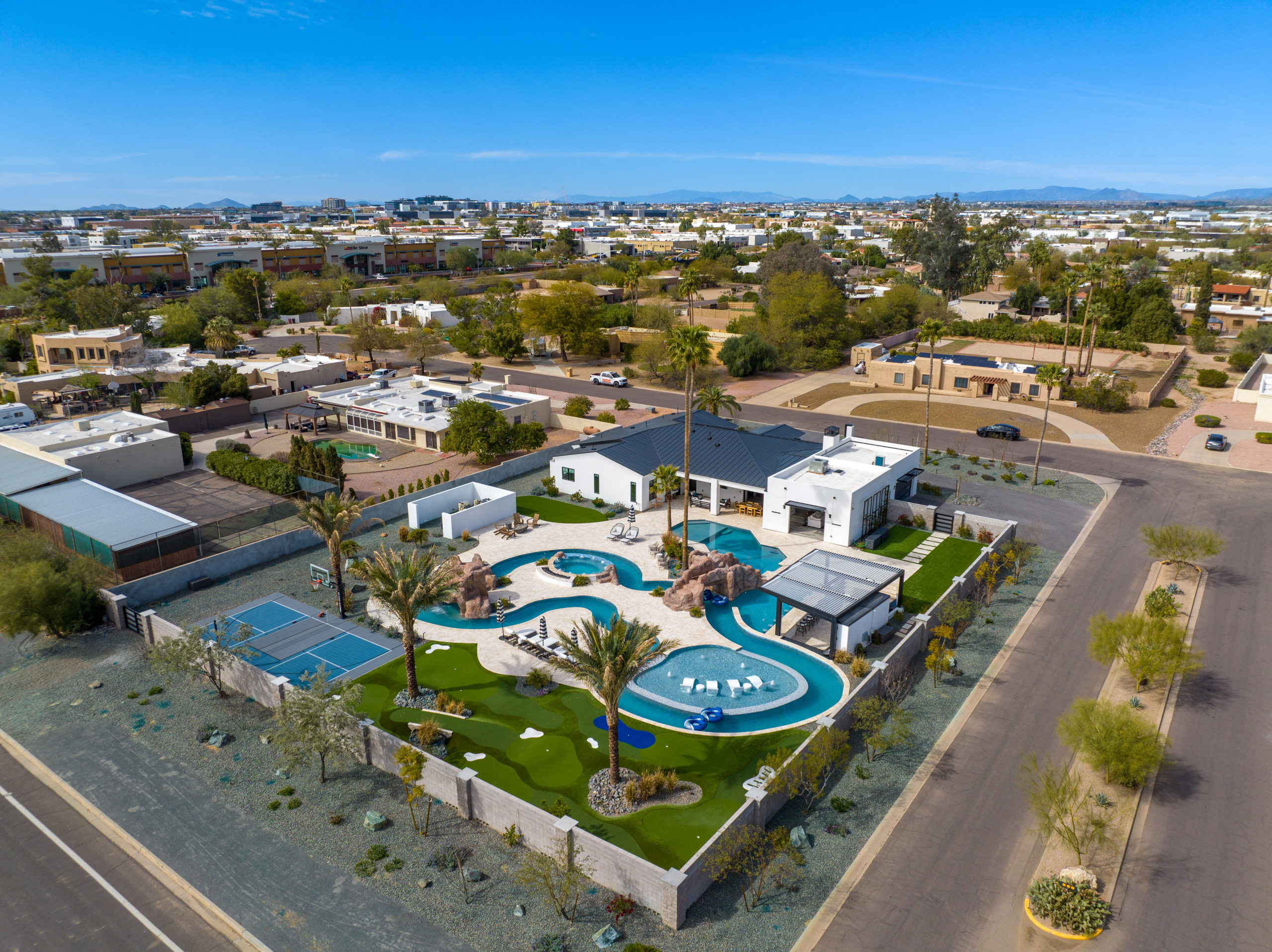
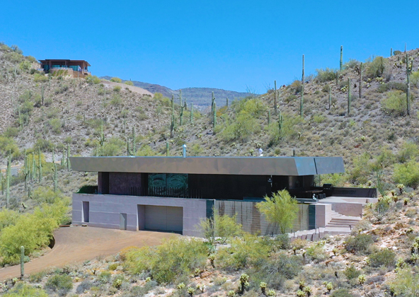
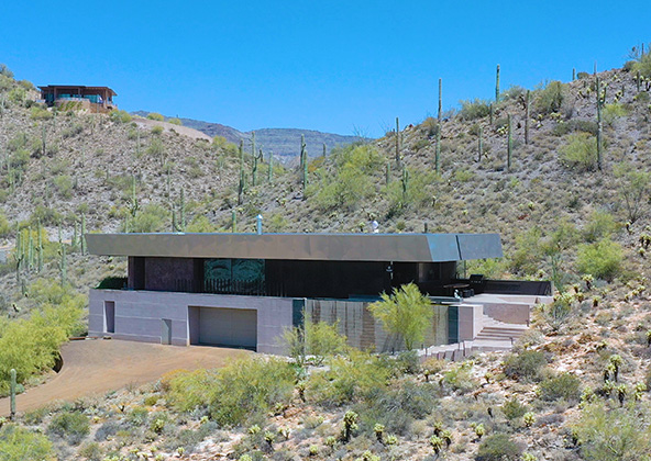
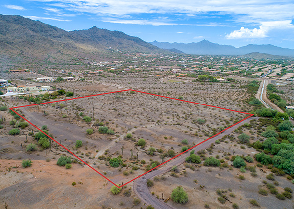
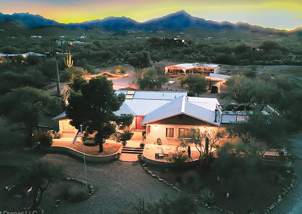
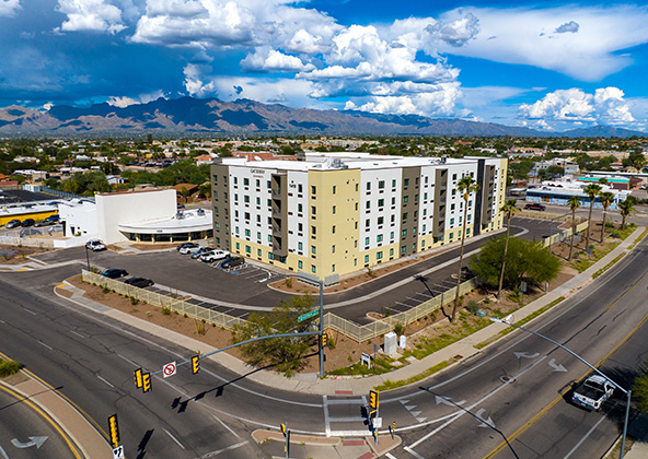
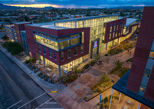
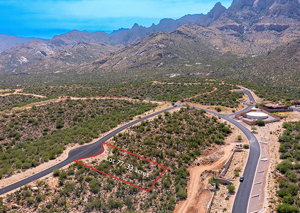
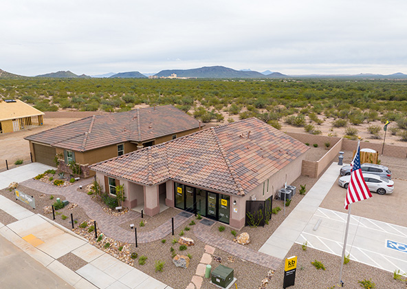
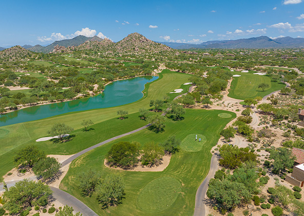
When buyers scroll through listings, aerial imagery often catches the eye first. Our drone photographers deliver high-resolution aerial shots that showcase property features like lot shape, landscaping, views, and surroundings. Combined with ground-level photography, these visuals tell a complete story.
In neighborhoods like Scottsdale, Gilbert, and Paradise Valley, drone photos help your listings stand out against the competition. Realtors use our images in MLS, brochures, virtual tours, and online galleries to increase engagement and bring buyers in for showings.
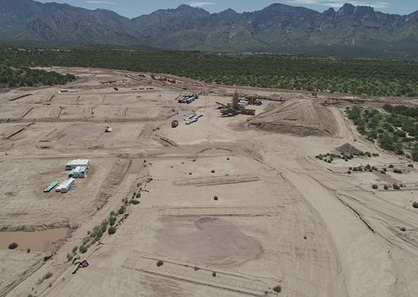
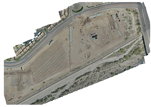
Construction & Progress Photography
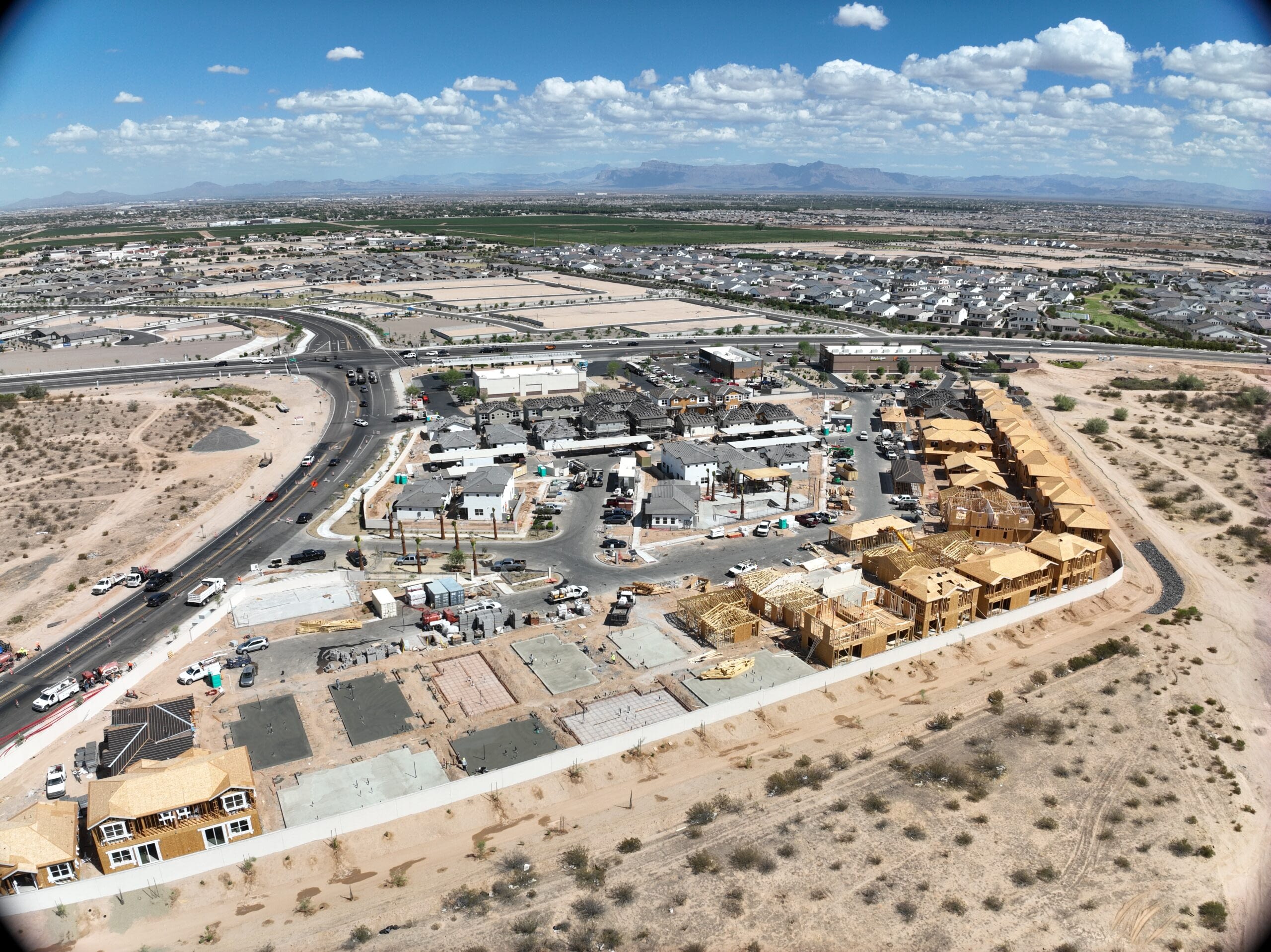
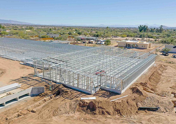
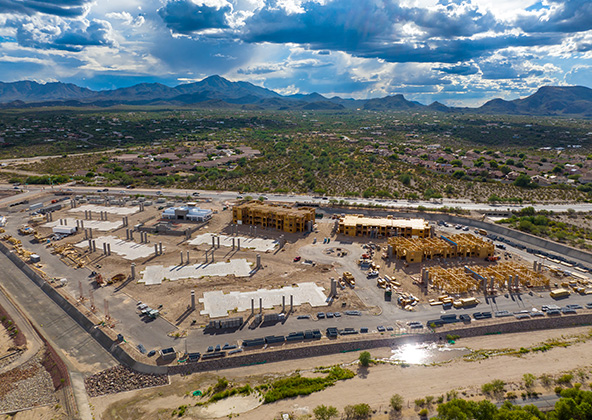
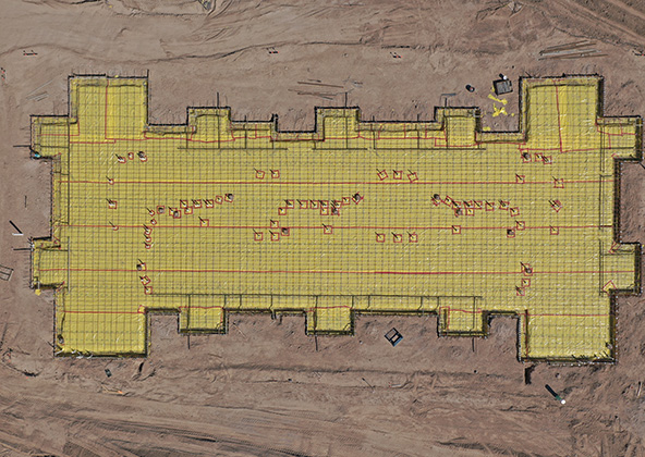
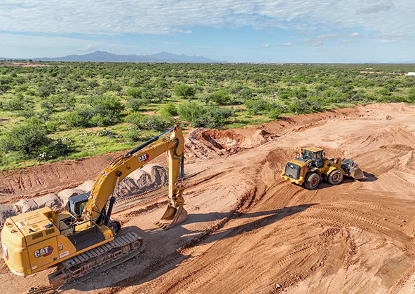
Beyond marketing, drone photography is a powerful tool for documenting project progress. Clients use these images for tracking milestones, stakeholder updates, and internal reporting. Our team schedules regular aerial flights, producing side-by-side progress overlays so you can see exactly how far a site has advanced.
From a residential build in Phoenix to industrial developments across the Valley, drone photography ensures transparency. Contractors and project managers can use these photos to resolve disputes, plan logistics, and communicate with investors.
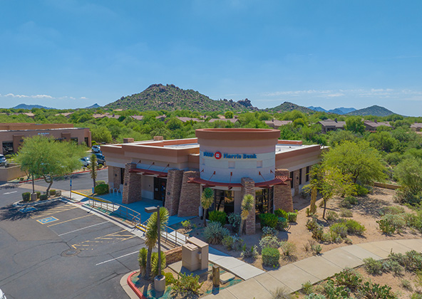
Advertising, Branding & Marketing Campaigns
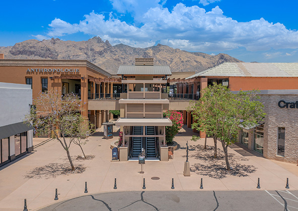
Drone images hold unique creative power. We work with brands, agencies, and marketing departments to deliver visuals that amplify storytelling—whether it’s a hotel, resort, retail center, or event venue in Phoenix. Our images are optimized for billboards, website banners, printed materials, and social campaigns.
We also offer branded content integration, adding overlays, annotations, and context to help viewers understand scale or features. Aerial photography for marketing adds prestige and scale you can’t get from standard imagery.
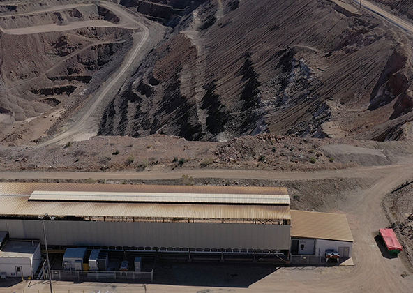
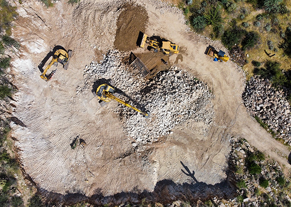
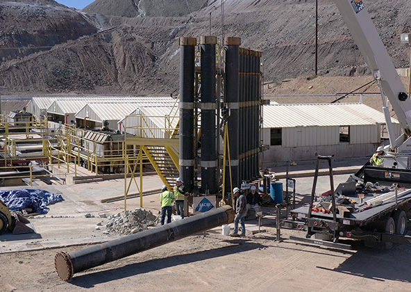
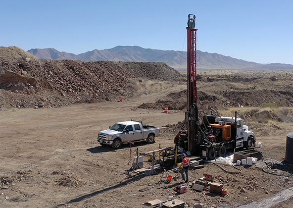
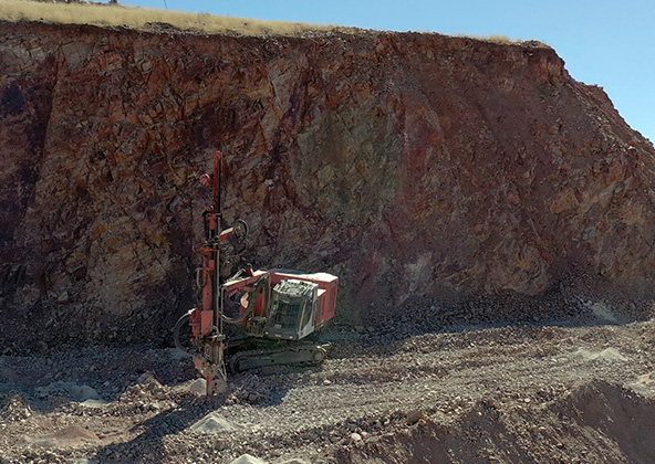
Industrial, Mining, & Infrastructure Imaging
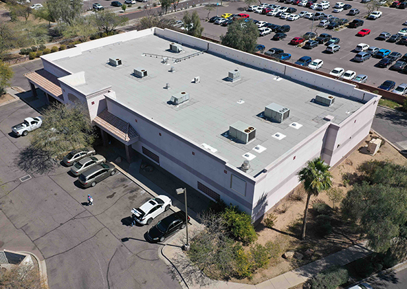
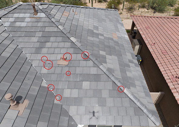
Industrial clients require precision and consistency. Drone photography supports site inspections, facility documentation, and promotional work for plants, mines, and infrastructure projects. We capture detailed site imagery, façades, access routes, and contextual views that help stakeholders visualize at scale.
These visuals augment mapping, inspection, and progress work, enabling clients to create holistic visual packages. Mining or industrial operators in Phoenix and beyond leverage these images for compliance, investor relations, and reporting.
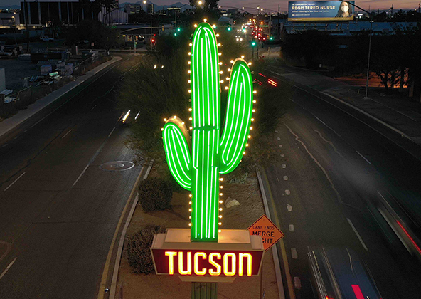
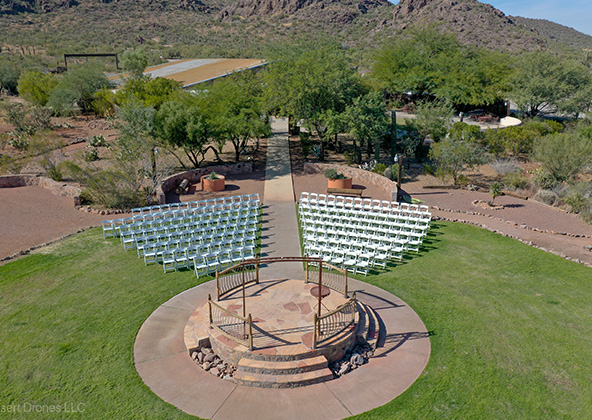
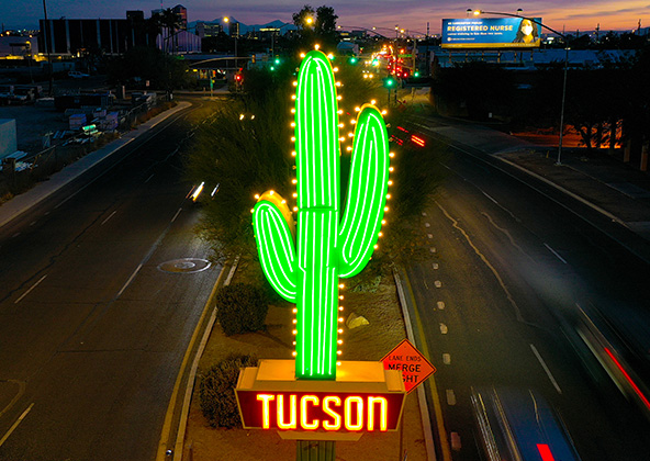
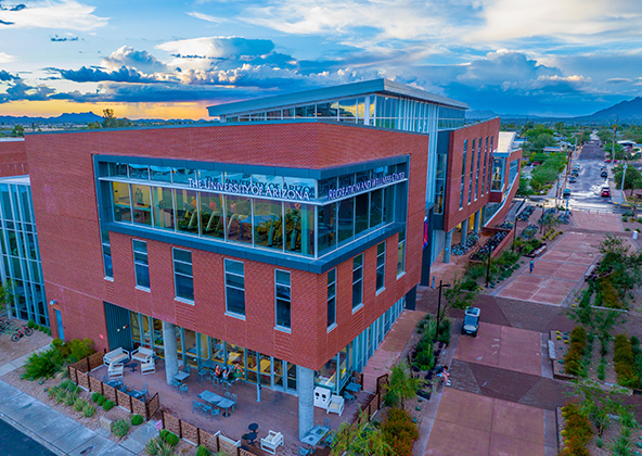
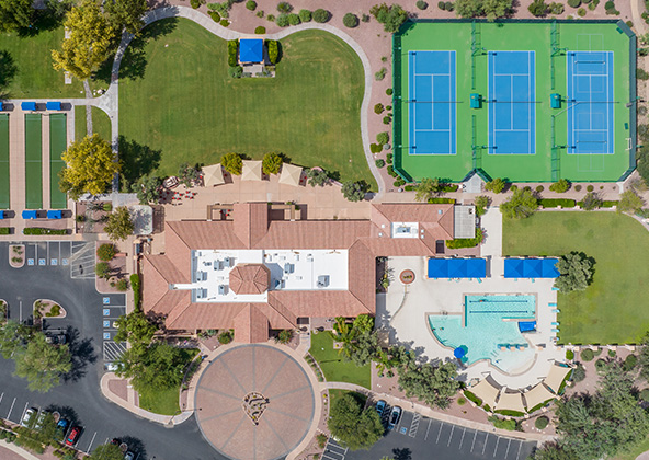
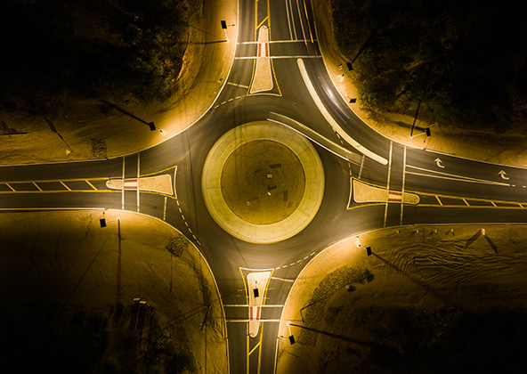
Event, Public Spaces & Landmark Photography
Phoenix is alive with events, architecture, and public spaces begging for striking aerial imagery—from stadiums and campuses to parks and plazas. Our drone photographers work with event planners, municipalities, and designers to capture site context, crowd scale, and environmental integration.
Whether for promotional launches, architectural portfolios, or city branding, these images help define identity and perception. Landmarks like Camelback Mountain, Papago Park, or Phoenix Convention Center are best seen from above.
Why Choose Desert Drones for Phoenix Drone Photography?
You deserve imagery that reflects your ambition. Desert Drones brings together FAA-certified pilots, advanced drone rigs, and seasoned editorial creative direction to deliver images that move people. With full insurance, local knowledge, and fast turnaround, we’ve become the go-to photographer for Phoenix, Scottsdale, Mesa, Tempe, Chandler, Buckeye, and Glendale clients.
When you choose us, you get a partner who understands your project goals—whether for sales, promotion, documentation, or storytelling. Our aerial photography sets a new standard in visual impact.
Contact us to schedule your Phoenix drone photography session and see your world from a higher vantage point.
Frequently Asked Questions About Phoenix Drone Photography
Aerial photography provides a unique perspective. Real estate listings, events, construction progress photos and site surveillance are just a few examples of where you need drones to do the job right.
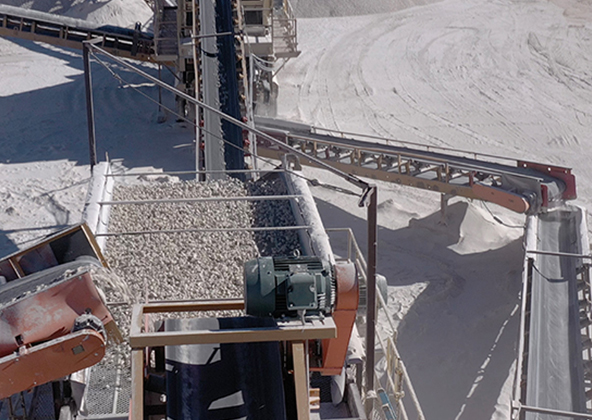
Mining
Aerial photography and videography provide fast and cost effective mapping, documentation, elevation and stockpile calculations to streamline your mining operations.
Industrial
Drones are uniquely qualified to capture aerial data for inspections of cellular, electrical, mining, solar and other industrial sites. Providing higher quality data at a lower risk rate than traditional inspections, makes drone services a must on your project.
Events
No matter what kind of event you are having, aerial photography and videography make your audience feel like they are there. Make your advertising, marketing campaign and website stand out with dramatic pictures and videos that only drones can capture.
Licensed & Insured
Desert Drones, LLC is operated by a FAA (Federal Aviation Administration) licensed pilots, Desert Drones, LLC is licensed & insured up to $1M.
Aerial photography and videography provide fast and cost effective mapping, documentation, elevation and stockpile calculations to streamline your mining operations.
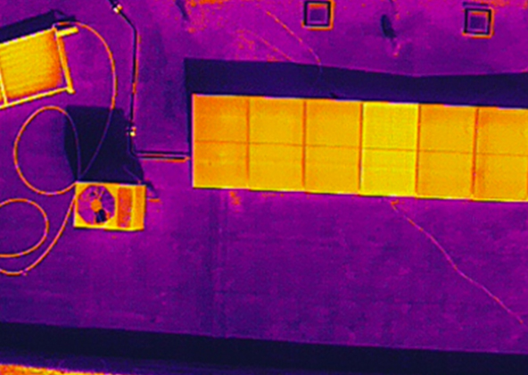
Southwest Arizona is a great place for solar. In phoenix and tucson we get over 300 days of sun every year. Let us give you valuable information while your system is still under warranty. Make sure you are getting what you paid for in you PV system.
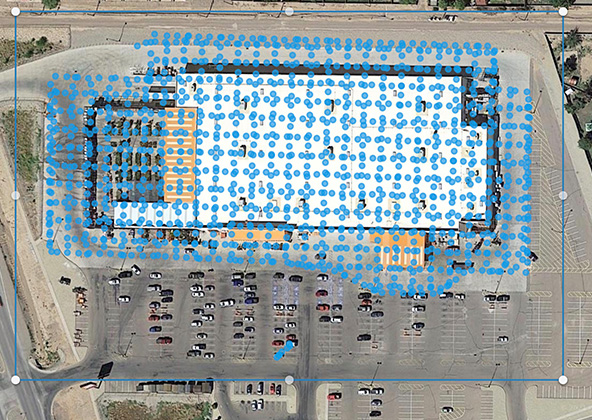
Gallery
MLS aerial drone photos for commercial and residential real estate
drone services for real estate
Aerial Drone Photography for Marketing and Advertising