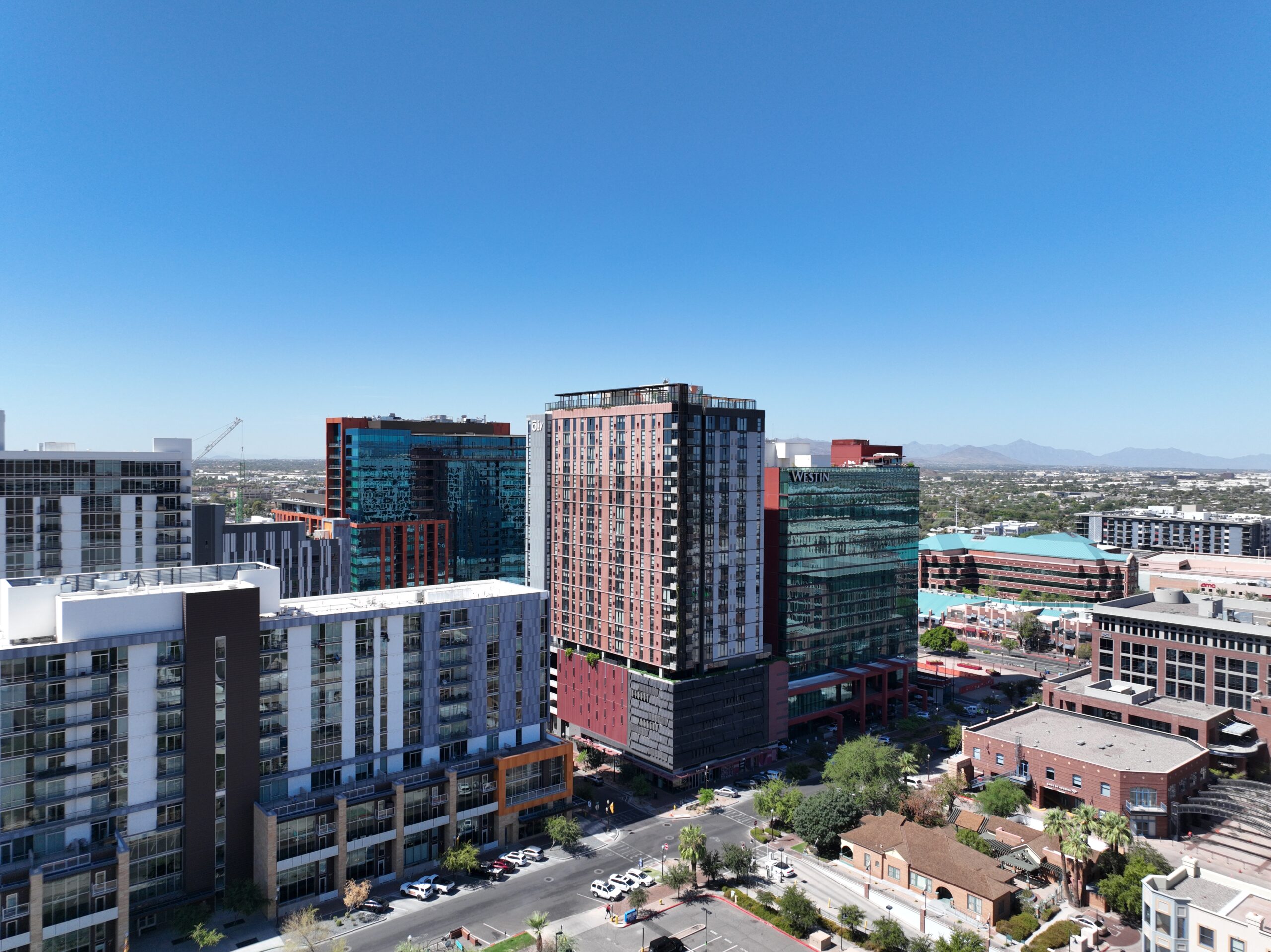
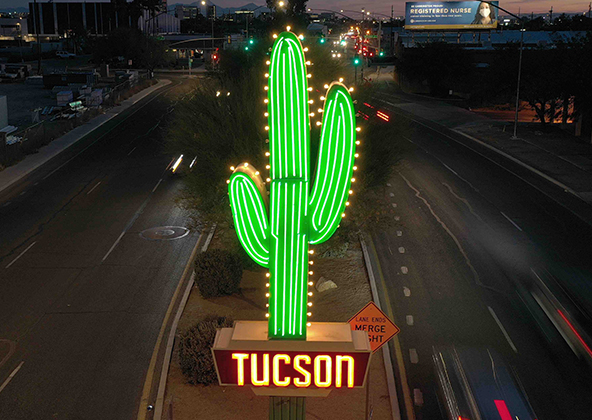
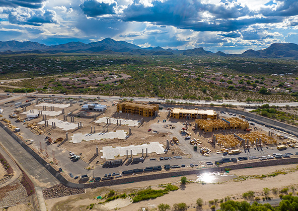
Texas construction is booming — from commercial development in El Paso and Dallas, to major infrastructure projects in Houston, Austin, San Antonio, and the Permian Basin. To stay competitive, builders need accurate data, reliable visuals, and transparent communication.
At Desert Drones, we provide construction drone services across all of Texas, capturing every phase of your project from groundbreaking to completion. Our FAA-certified pilots deliver precise aerial imaging, mapping, and progress documentation that keeps your team informed and your project on schedule.
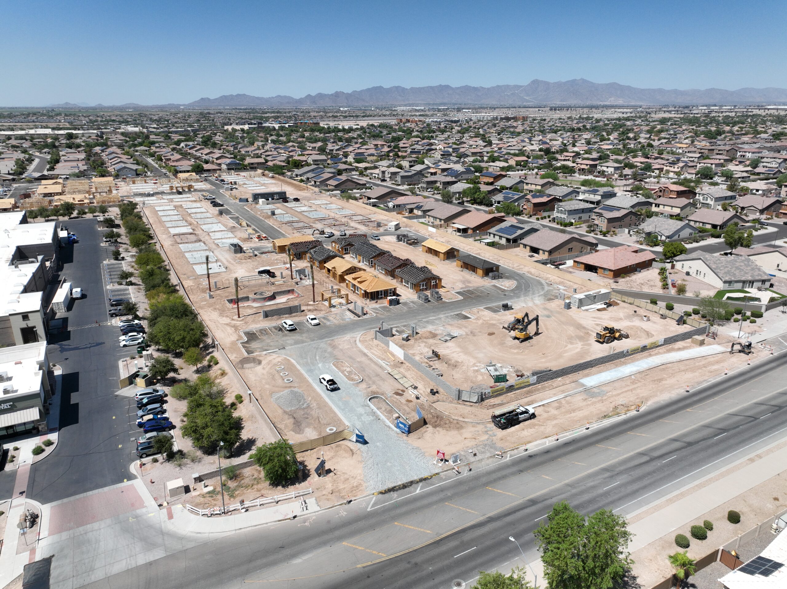
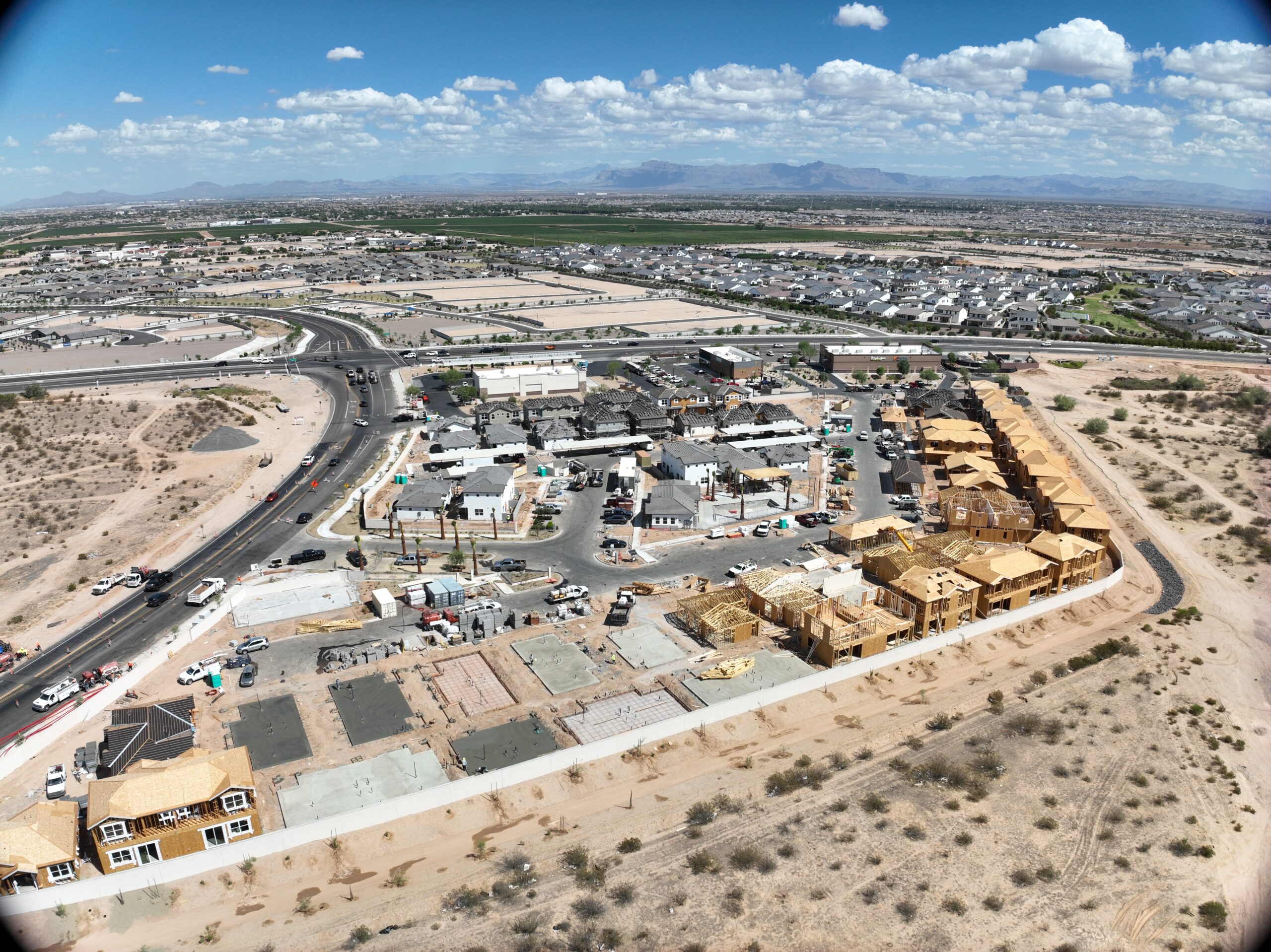
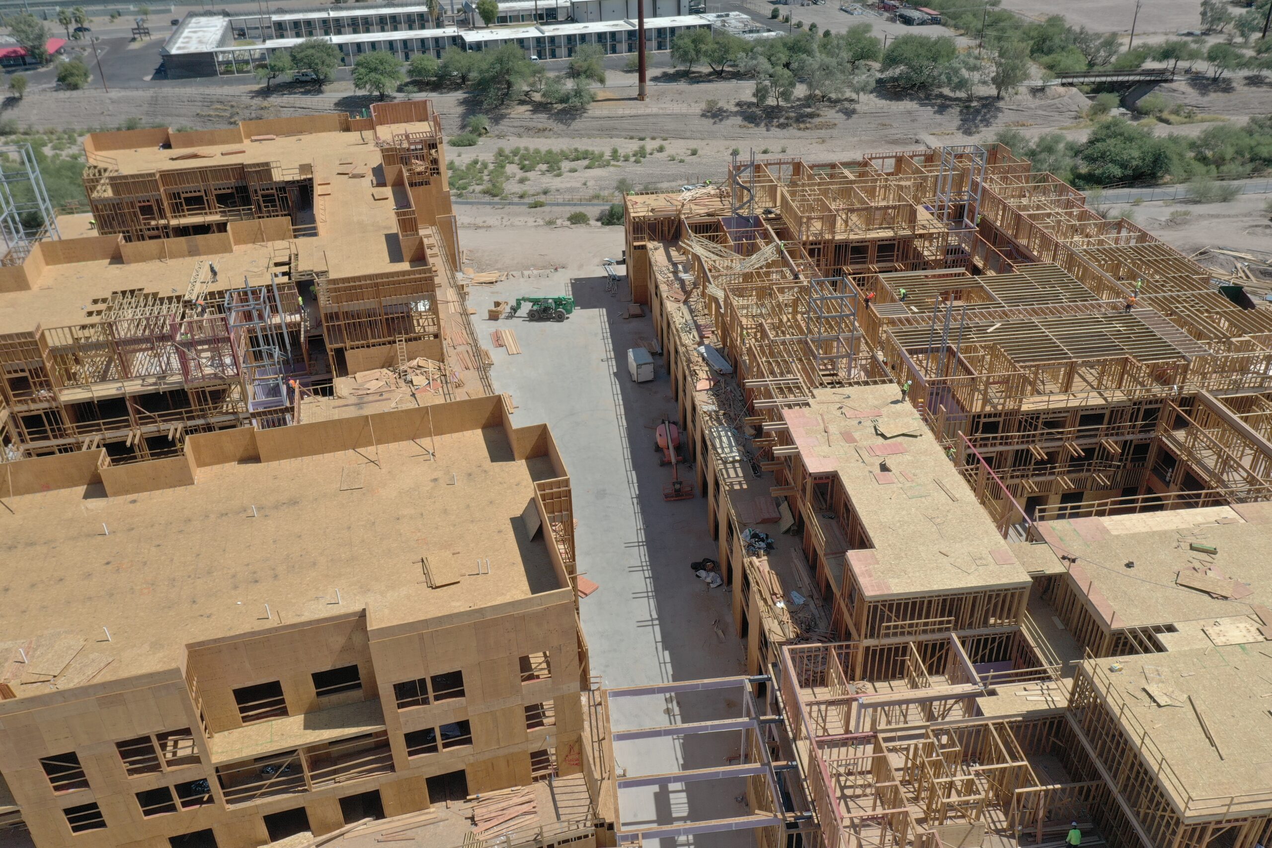
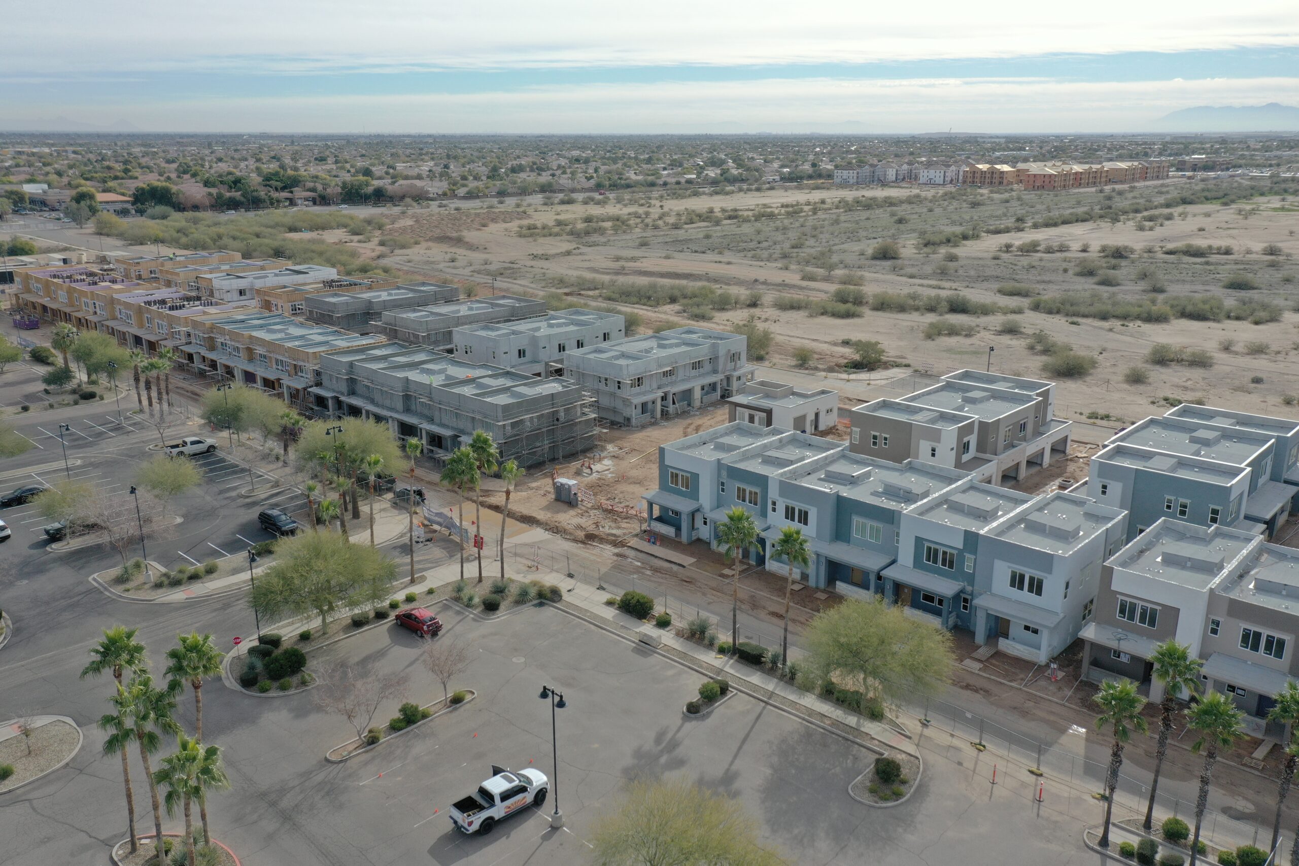
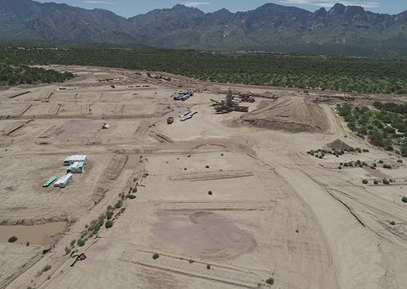
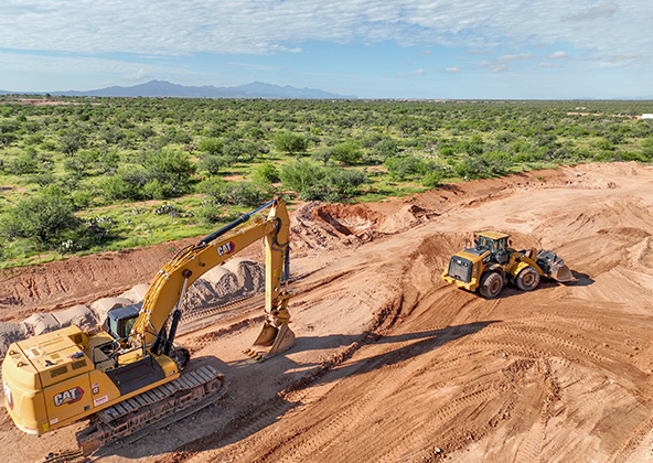
Progress Monitoring & Site Documentation
Our drones make it easy to verify work, confirm subcontractor performance, and identify delays before they grow costly. We provide:
Before-and-after comparisons for milestone reporting
Consistent framing and elevation for timeline tracking
Whether you’re managing a downtown build in El Paso, a subdivision near Socorro, or a commercial expansion in Houston, our visuals ensure everyone — from the field to the boardroom — sees progress clearly.
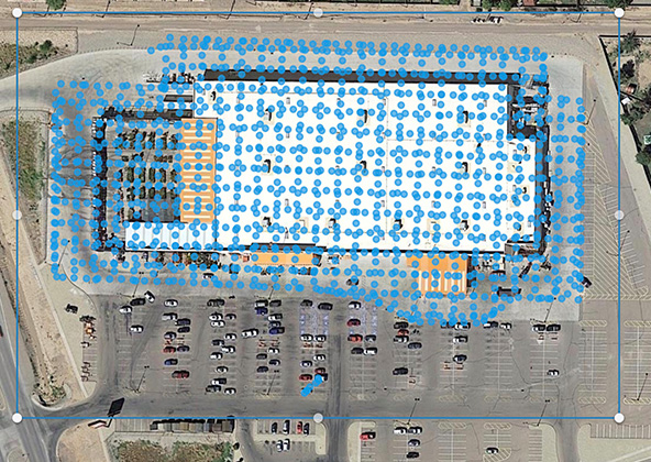
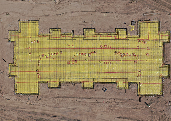
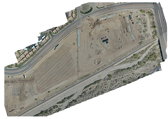
Mapping, Surveying & 3 D Modeling
Accuracy drives profitability. Our mapping workflows turn hundreds of aerial photos into survey-grade models, giving your engineering and design teams real-world context. We deliver:
Geo-referenced exports for CAD, Revit, Civil 3 D, and GIS
From the desert foothills of El Paso to construction corridors around Dallas and Midland, our drone mapping helps you verify plans and document site conditions fast.
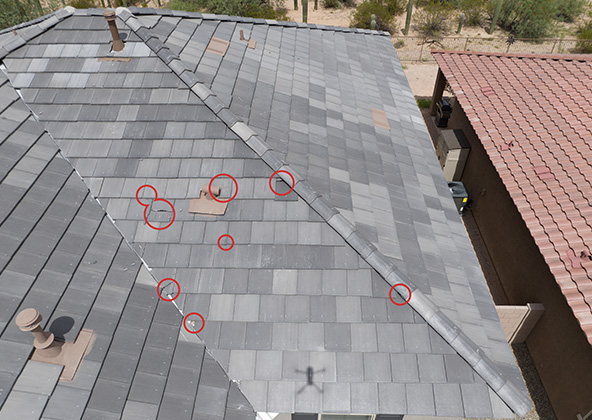
Safety Inspections & Risk Mitigation
Safety is paramount on Texas job sites — especially under El Paso’s harsh sun. Our drones enable quick, contact-free inspections that keep crews out of harm’s way.
We capture:
Roof decks, scaffolding, and elevated work zones
Crane assemblies and heavy-equipment positioning
Thermal scans for overheating components or electrical faults
Reducing exposure in triple-digit heat or tight structural zones improves safety metrics and minimizes OSHA-recordable incidents.
Time-Lapse Flights & Stakeholder Reporting
Time-lapse visuals turn months of construction into captivating progress videos. Developers, investors, and city planners across Texas use these deliverables to communicate professionalism and progress.
We offer:
Automated repeat flight paths for consistent framing
Weekly or monthly compilation videos
Stakeholder-ready highlight edits for meetings and marketing
Projects from El Paso to Austin benefit from having a clear visual history of every phase, ideal for marketing or compliance documentation.
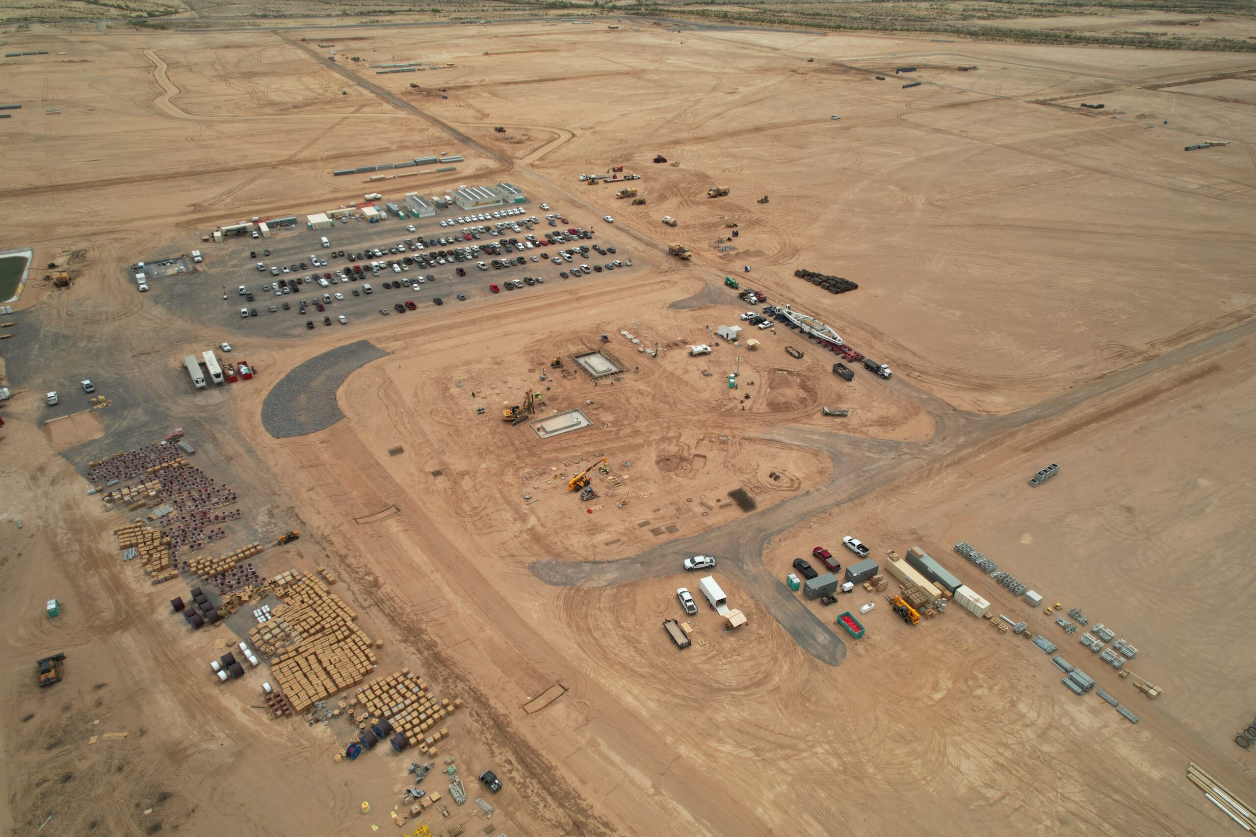
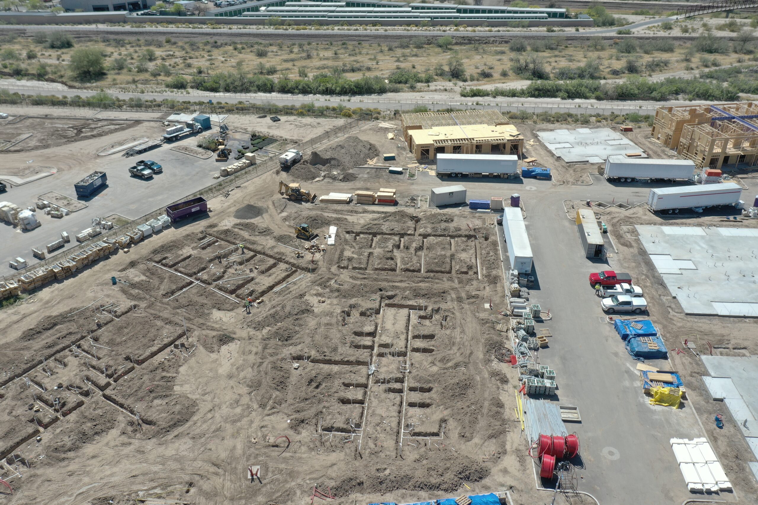
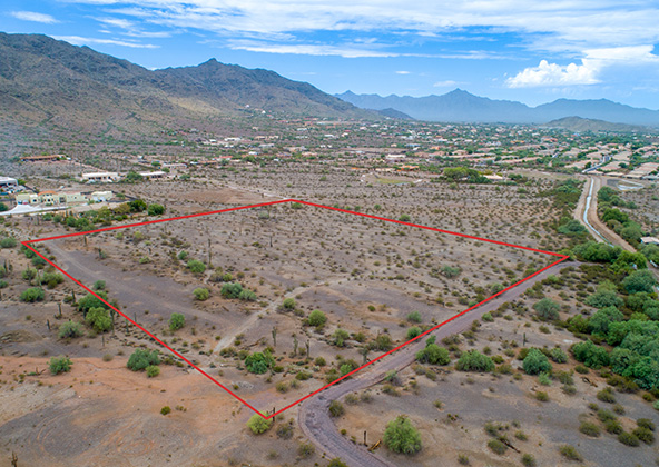
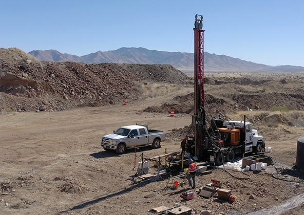
Pre-Construction Planning & Site Validation
Before heavy equipment arrives, aerial data helps confirm assumptions and reduce risk. Our pre-construction drone surveys identify:
Terrain slope and grading challenges
Drainage, wash, and flood-path issues
Easement and right-of-way conflicts
Shadow, sun-path, and elevation considerations
By mapping the land first, you eliminate costly surprises and start construction with verified data.
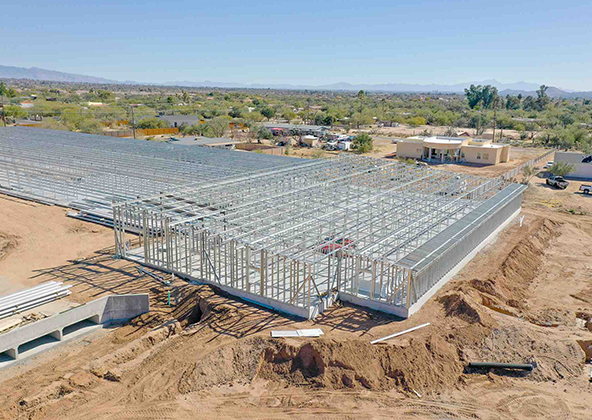
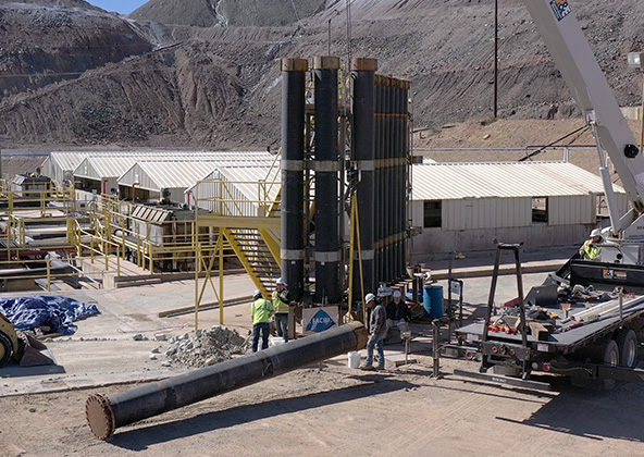
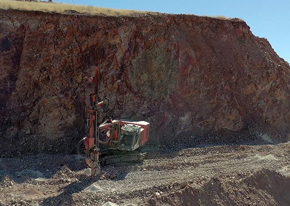
Infrastructure & Large-Scale Projects
For Texas-sized projects — highways, refineries, distribution hubs — scale demands precision. Desert Drones supports civil and industrial contractors with:
Long-corridor mapping for utilities and transportation
Stockpile and volumetric analysis
Multi-phase tracking for public-works contracts
High-altitude imaging for progress and logistics planning
From El Paso’s industrial parks to Houston’s energy infrastructure, we deliver insights that keep complex projects moving
Why Choose Desert Drones for Construction in Texas
Our reputation was built in the field — by earning the trust of contractors, developers, and engineers statewide. We combine aerial artistry with technical precision.
FAA Part 107-certified pilots with $2 million liability coverage
Experience in El Paso, Dallas–Fort Worth, Houston, Austin, San Antonio, Midland, and Lubbock
Rapid turnarounds — reports within 24–48 hours
Seamless integration into design, survey, and BIM workflows
Proven reliability in Texas heat, dust, and monsoon conditions
Desert Drones brings professional consistency to every project, ensuring your aerial data is accurate, compliant, and visually stunning.
Frequently Asked Questions — Construction Drone Services in Texas
Our clients include commercial builds, multifamily developments, road expansions, and public works projects across El Paso, Dallas, Austin, and Houston.
Yes — we integrate directly with Procore, Bluebeam, Autodesk, Civil 3 D, and Revit, ensuring your aerial deliverables feed seamlessly into existing workflows.
Absolutely. We secure all FAA LAANC authorizations before flight and operate safely near El Paso International Airport and other controlled airspaces statewide.
Typical projects range from $300 to $1,200 per flight, depending on area, frequency, and deliverables. Subscription pricing available for ongoing builds.
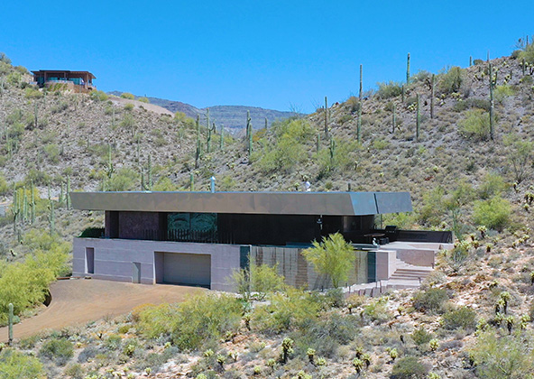
Aerial photography provides a unique perspective. Real estate listings, events, construction progress photos and site surveillance are just a few examples of where you need drones to do the job right.
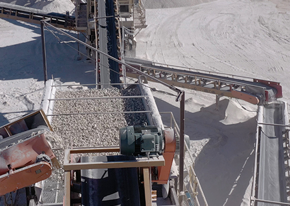
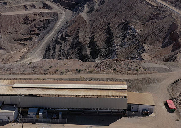
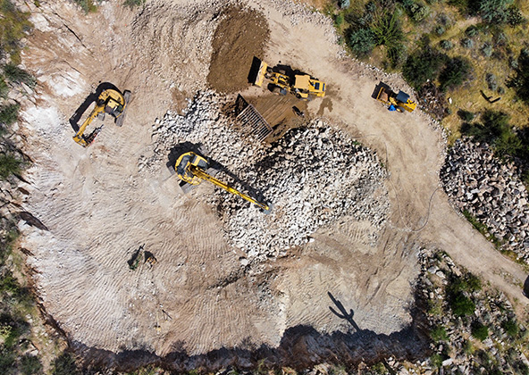
Mining
Aerial photography and videography provide fast and cost effective mapping, documentation, elevation and stockpile calculations to streamline your mining operations.
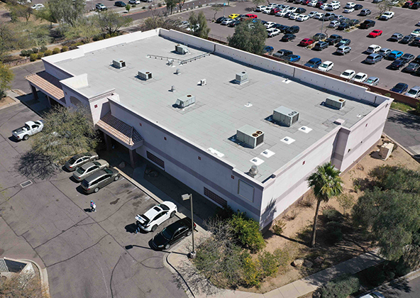
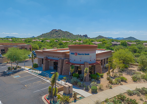
Industrial
Drones are uniquely qualified to capture aerial data for inspections of cellular, electrical, mining, solar and other industrial sites. Providing higher quality data at a lower risk rate than traditional inspections, makes drone services a must on your project.
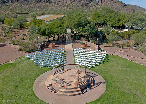
Events
No matter what kind of event you are having, aerial photography and videography make your audience feel like they are there. Make your advertising, marketing campaign and website stand out with dramatic pictures and videos that only drones can capture.
Licensed & Insured
Desert Drones, LLC is operated by a FAA (Federal Aviation Administration) licensed pilots, Desert Drones, LLC is licensed & insured up to $1M.
Aerial photography and videography provide fast and cost effective mapping, documentation, elevation and stockpile calculations to streamline your mining operations.
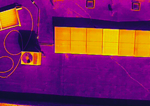
Southwest Arizona is a great place for solar. In phoenix and tucson we get over 300 days of sun every year. Let us give you valuable information while your system is still under warranty. Make sure you are getting what you paid for in you PV system.
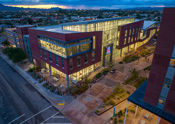
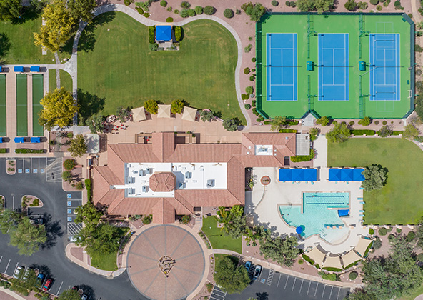
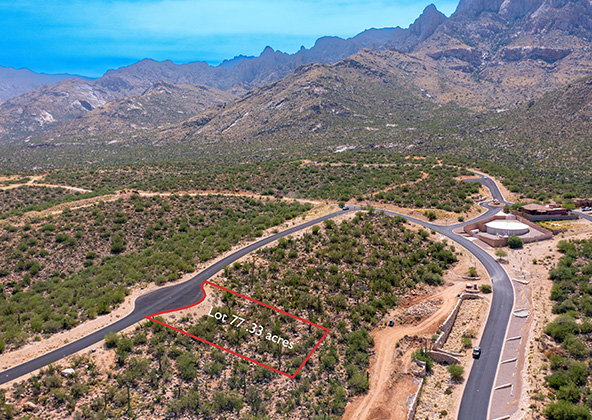
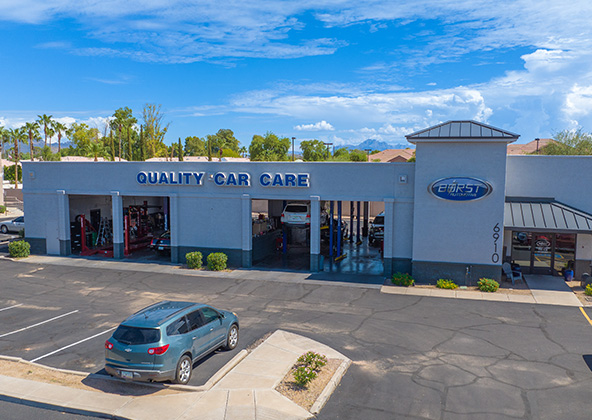
Gallery
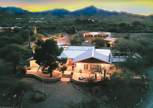
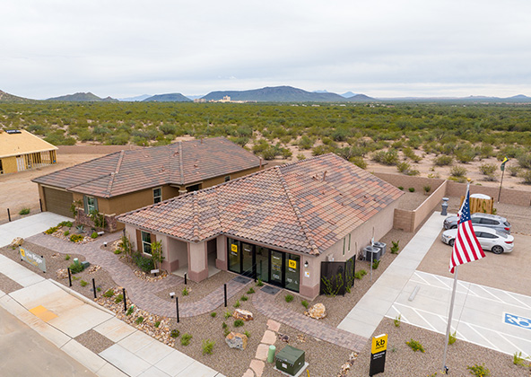
MLS aerial drone photos for commercial and residential real estate
drone services for real estate
Aerial Drone Photography for Marketing and Advertising