Construction Drone Services in Denver & Across Colorado
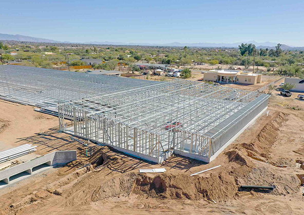
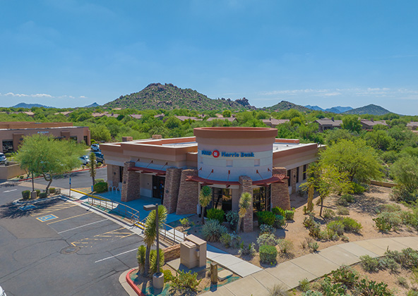
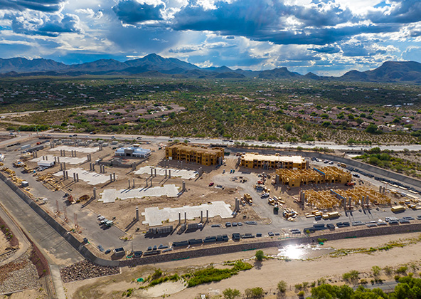
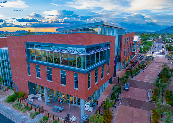
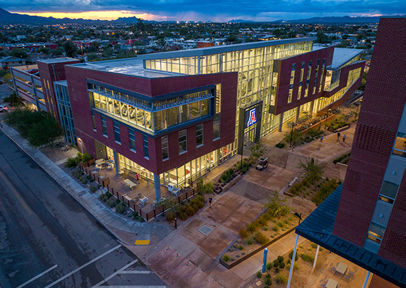
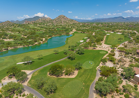
Colorado’s construction landscape is as diverse as its terrain — from dense urban development in Denver and the Front Range to mountain resorts, infrastructure corridors, and large-scale commercial projects across the state. Desert Drones delivers construction drone services in Denver and throughout Colorado, giving builders, engineers, and developers better site visibility, safer documentation workflows, and clearer project intelligence.
Better Construction Oversight with Aerial Data in Colorado
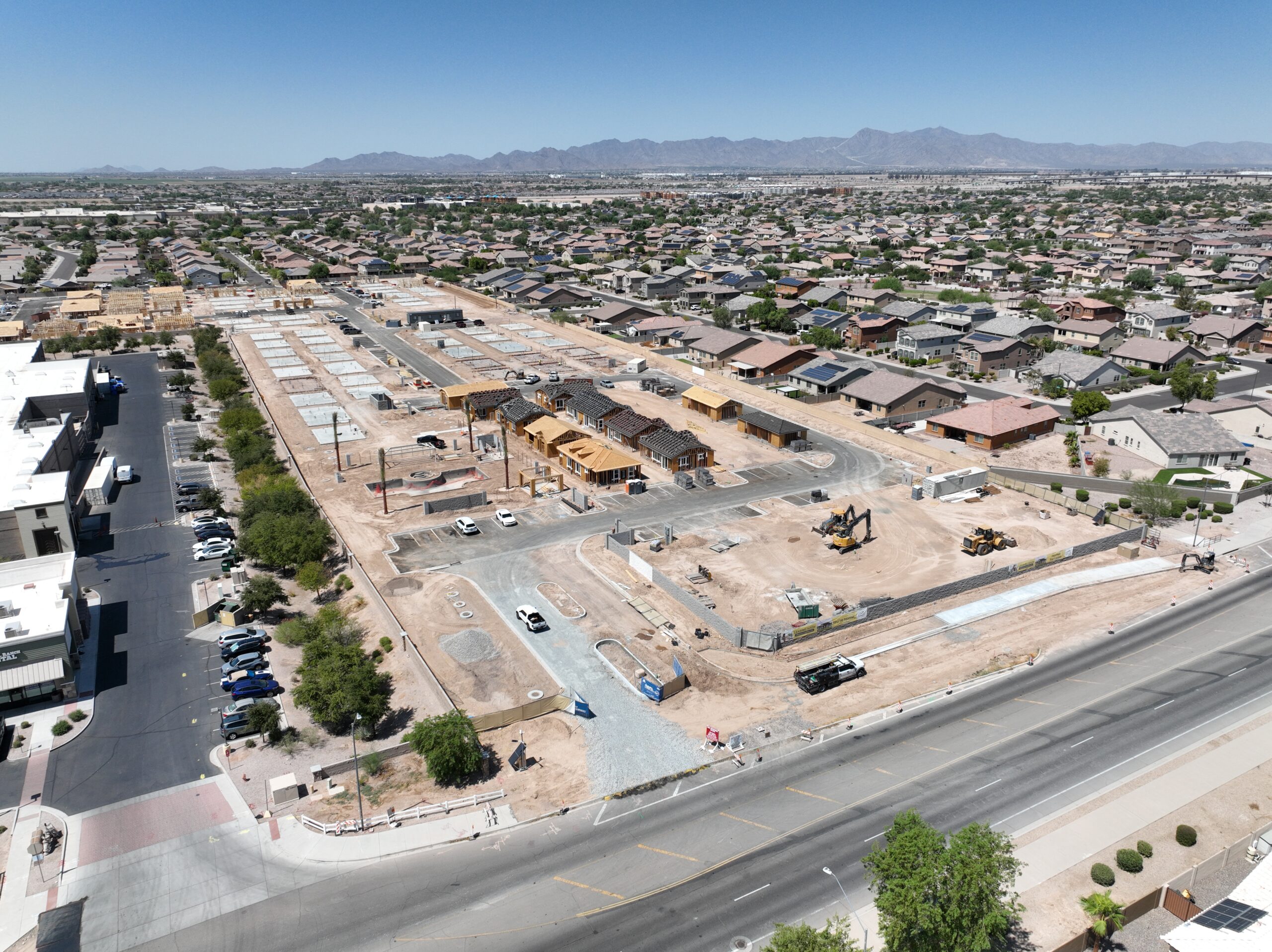
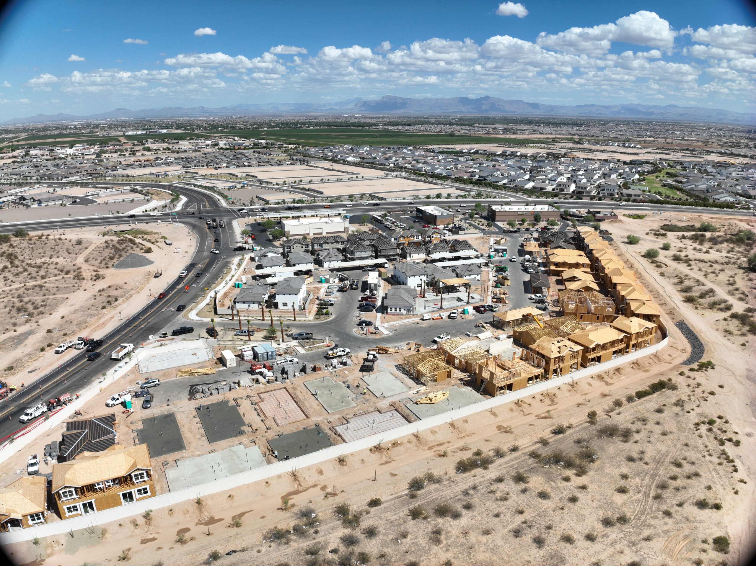
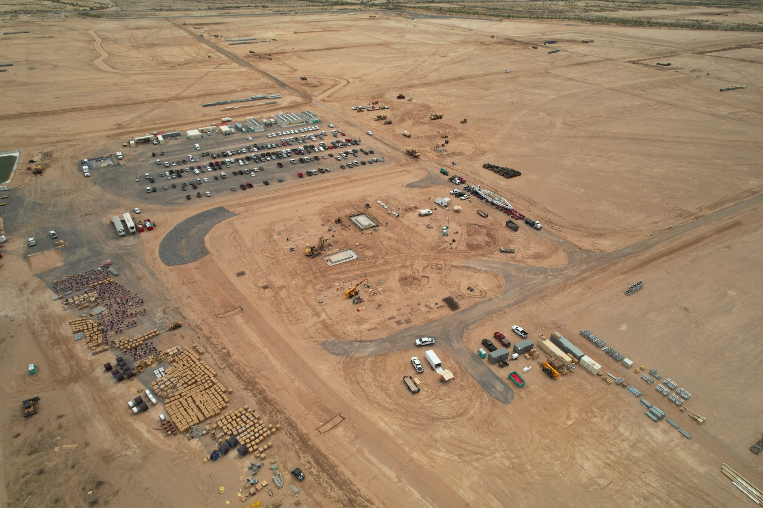
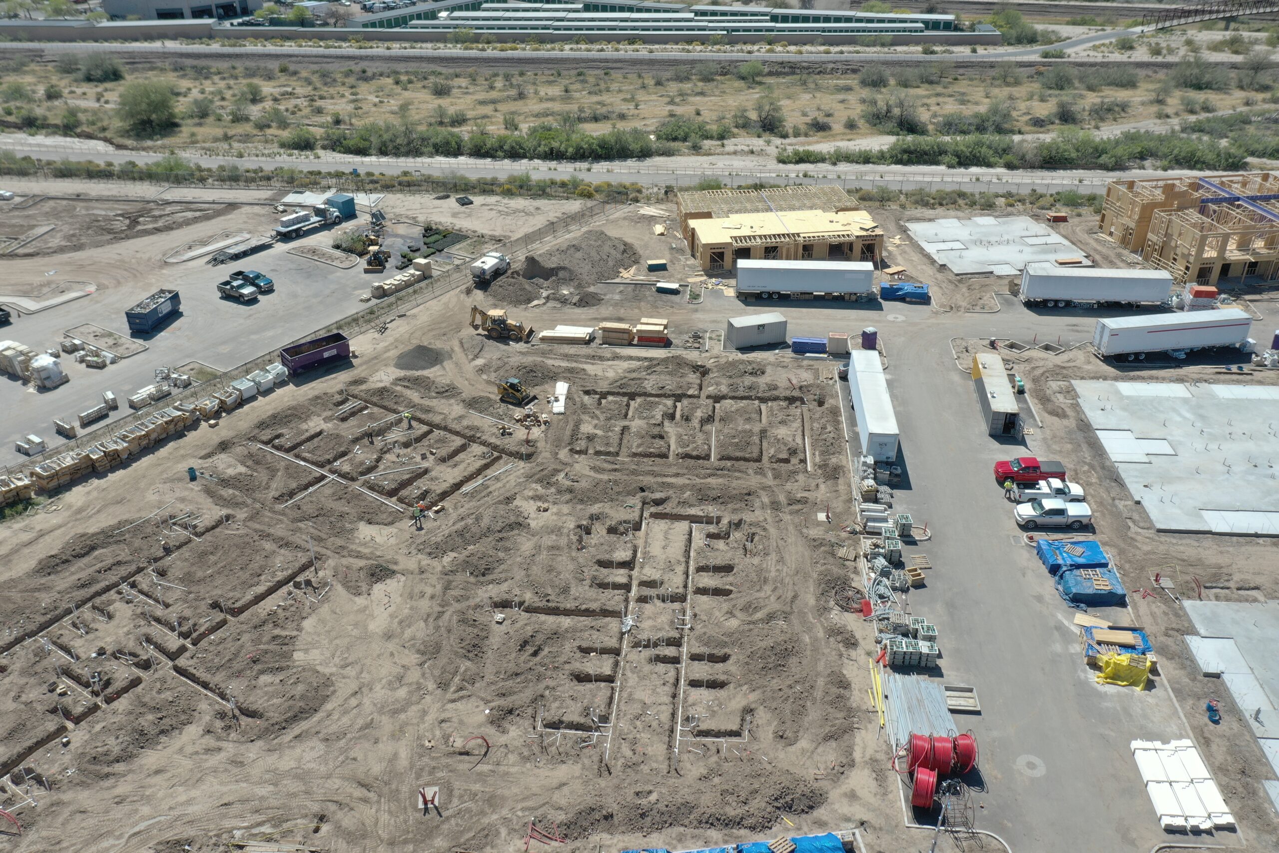
Large and complex builds require accurate information fast. Desert Drones provides professional construction drone services in Denver and throughout Colorado to help general contractors, project managers, owners, and subs get reliable aerial data that enhances visibility, improves communication, and reduces risk.
We support projects from Denver’s urban core to Boulder’s foothills, the I-25 corridor, and mountain developments, delivering high-resolution aerial imagery, video, 3D models, and mapping that save time and strengthen decision making.
Aerial Documentation That Keeps Projects On Track
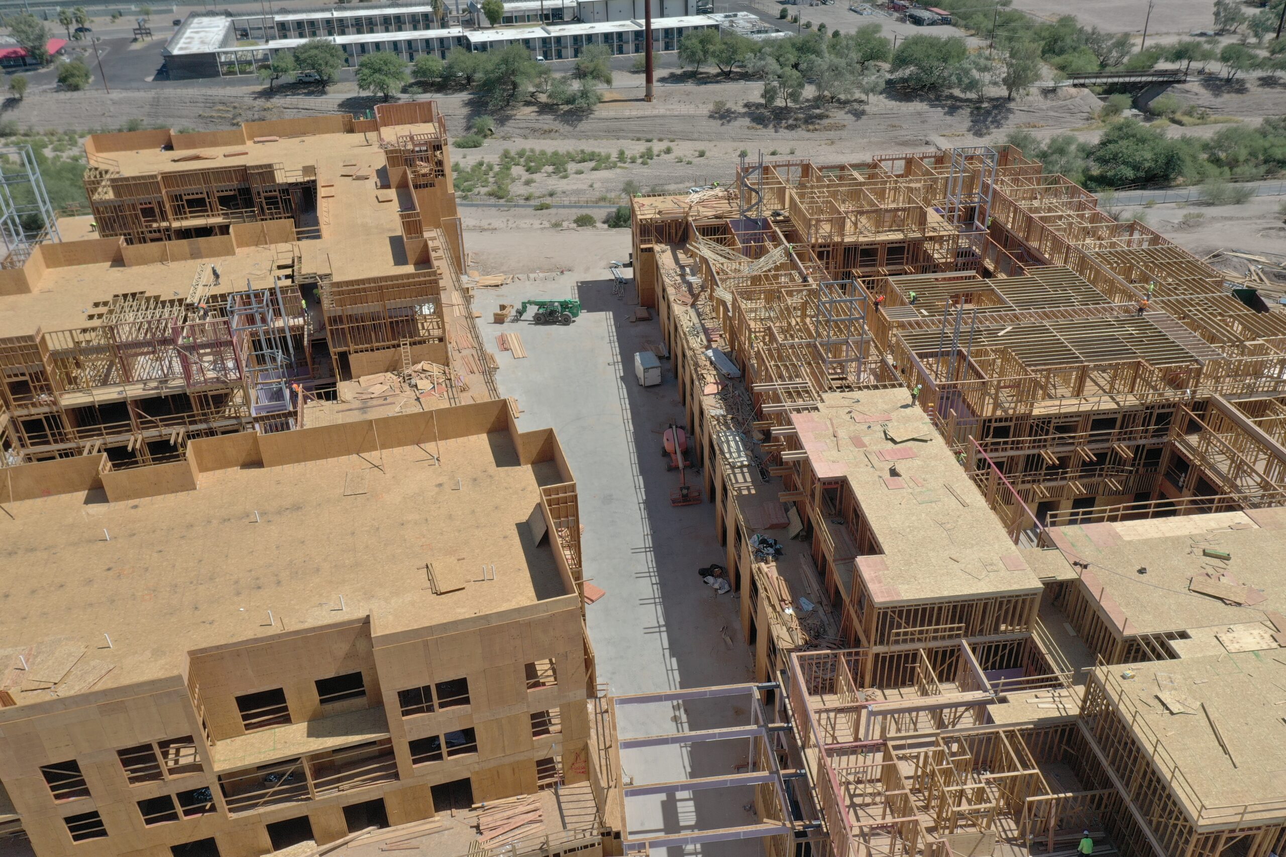
Construction sites are dynamic — what you knew yesterday may be obsolete today. Our drones give you real-time, repeatable visual intelligence so teams stay aligned and stakeholders stay informed.
Weekly & milestone aerial captures
Progress photo logs and visual timelines
Drone video flyovers for client reviews
Accurate orthomosaic maps and site plans
Cloud-hosted deliverables for team access
We integrate with existing workflows — giving you shareable, measurable, and site-specific aerial data that supports QA/QC, planning, and compliance reviews.
Why Colorado Builders Trust Desert Drones
We operate as a fully insured, FAA Part 107 certified drone services provider with a deep understanding of how aerial data supports modern construction.
FAA-licensed remote pilots
$2M+ commercial liability insurance
High-resolution RGB and 3D imaging platforms
Experience in active sites, heavy equipment zones, and challenging terrain
Outputs designed for engineers, superintendents, and project leads
We don’t just fly drones — we deliver useful insights, not just pictures.
Construction Drone Services We Provide in Colorado
Our services are tailored to the needs of Colorado construction teams:
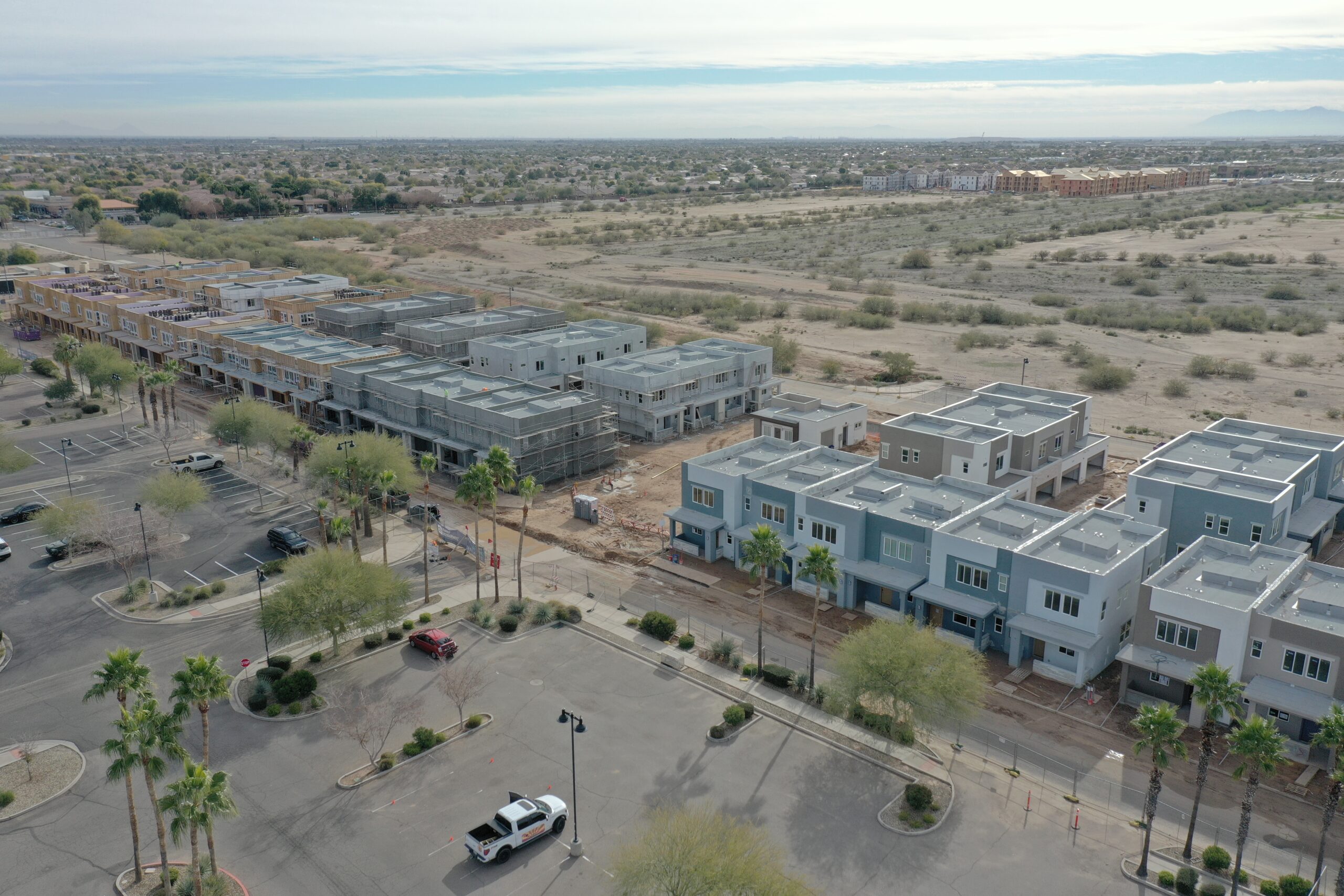
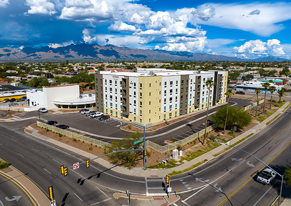
Aerial Construction Site Photography & Video — for progress tracking, presentations, and stakeholder updates
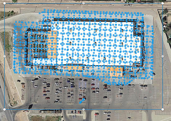
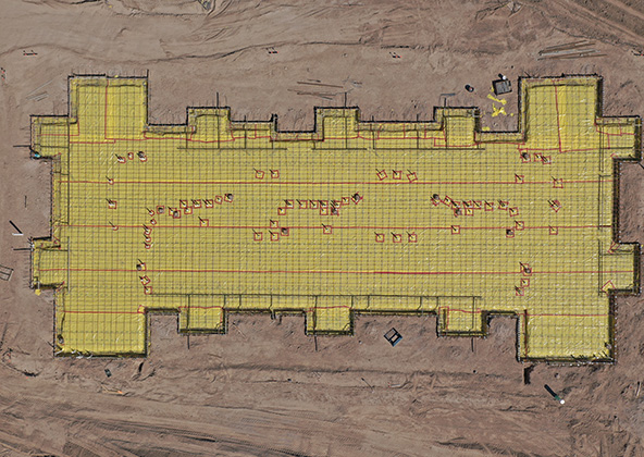
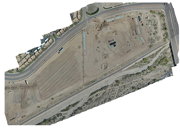
Weekly/Monthly Progress Mapping — orthomosaics and visual logs that show changes over time
3D Modeling & Topographic Mapping — digital models for Earthwork tracking and planning
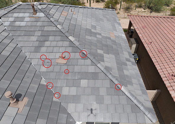
Pre-Pour, Pre-Roof, & Site Condition Reports — before/after imagery that supports scheduling and QA/QC
All deliverables are delivered in easy-to-use formats that fit into daily reporting and project controls.
How Our Colorado Construction Drone Workflow Works
We begin with a short project kickoff to understand your goals, access constraints, deliverable needs, and safety protocols. Then we manage flight planning, airspace checks, capture, processing, and delivery anywhere in Colorado.
You get:
Fully FAA-compliant operations
Minimal disruption to site operations
Fast scheduling and turnaround
Deliverables optimized for your construction platform
To schedule construction drone services in Denver or anywhere in Colorado, contact Desert Drones and put aerial data to work on your next build.
Improve Safety, Documentation & Risk Management
Drones dramatically reduce the need for personnel to access hazardous or hard-to-reach areas such as roofs, excavations, scaffolding, and elevated structures. Our construction drone services in Denver and across Colorado help improve jobsite safety while simultaneously creating a visual record of conditions and activities.
Use drone data for:
Safety audits and hazard identification
Dispute resolution and claims documentation
Change order verification
Incident investigations
Regulatory and compliance records
You get objective, time-stamped visual evidence without putting people in harm’s way.
Keep Owners, Investors & Teams Aligned
Clear communication keeps projects moving. Our aerial construction documentation in Colorado makes it easy to keep stakeholders informed without constant site visits.
We provide:
Shareable aerial progress videos
Visual timelines of site evolution
Presentation-ready images and maps
Remote progress reporting for out-of-state stakeholders
This improves transparency, speeds approvals, and reduces misunderstandings between owners, GCs, subs, and lenders.
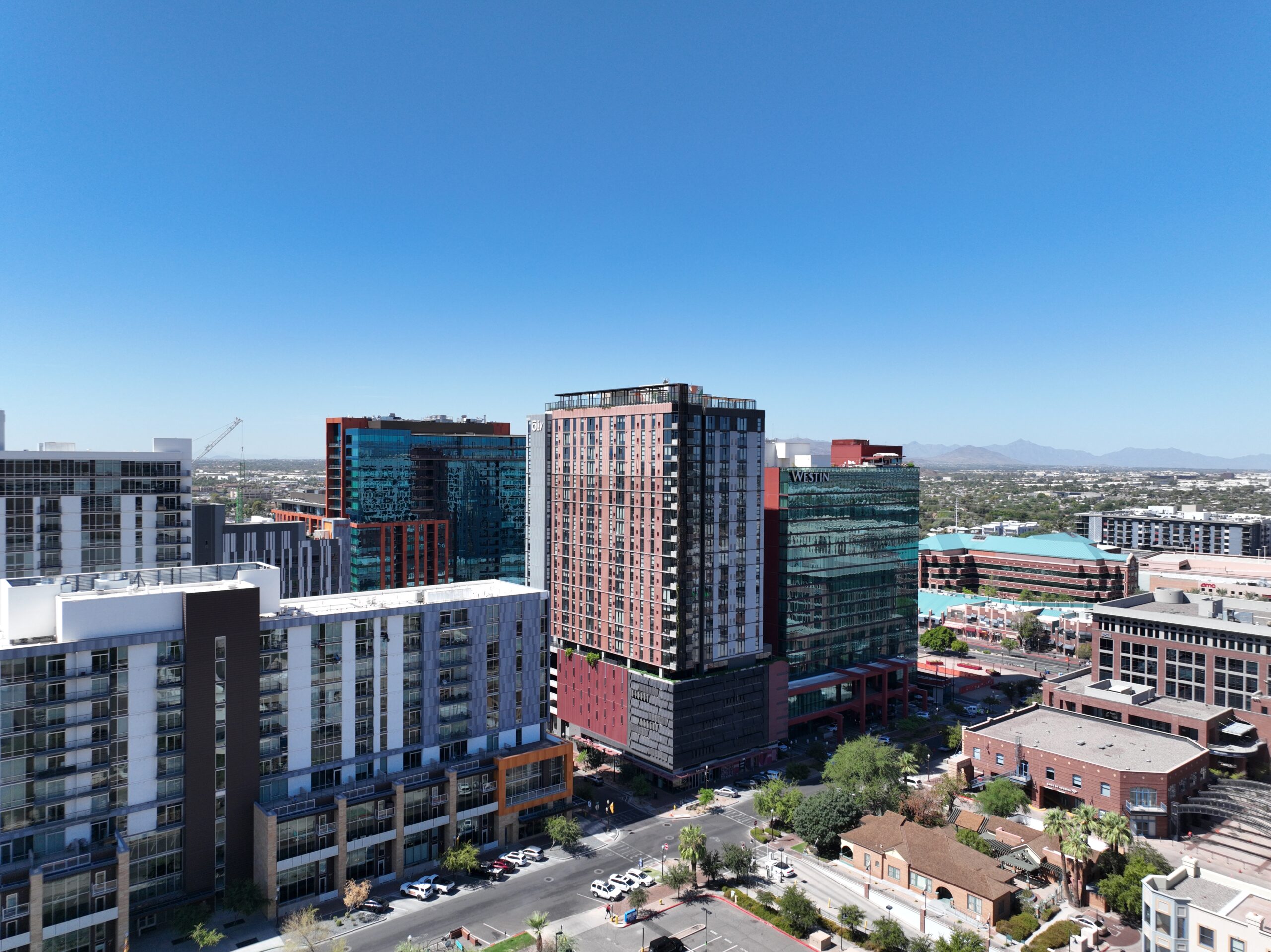
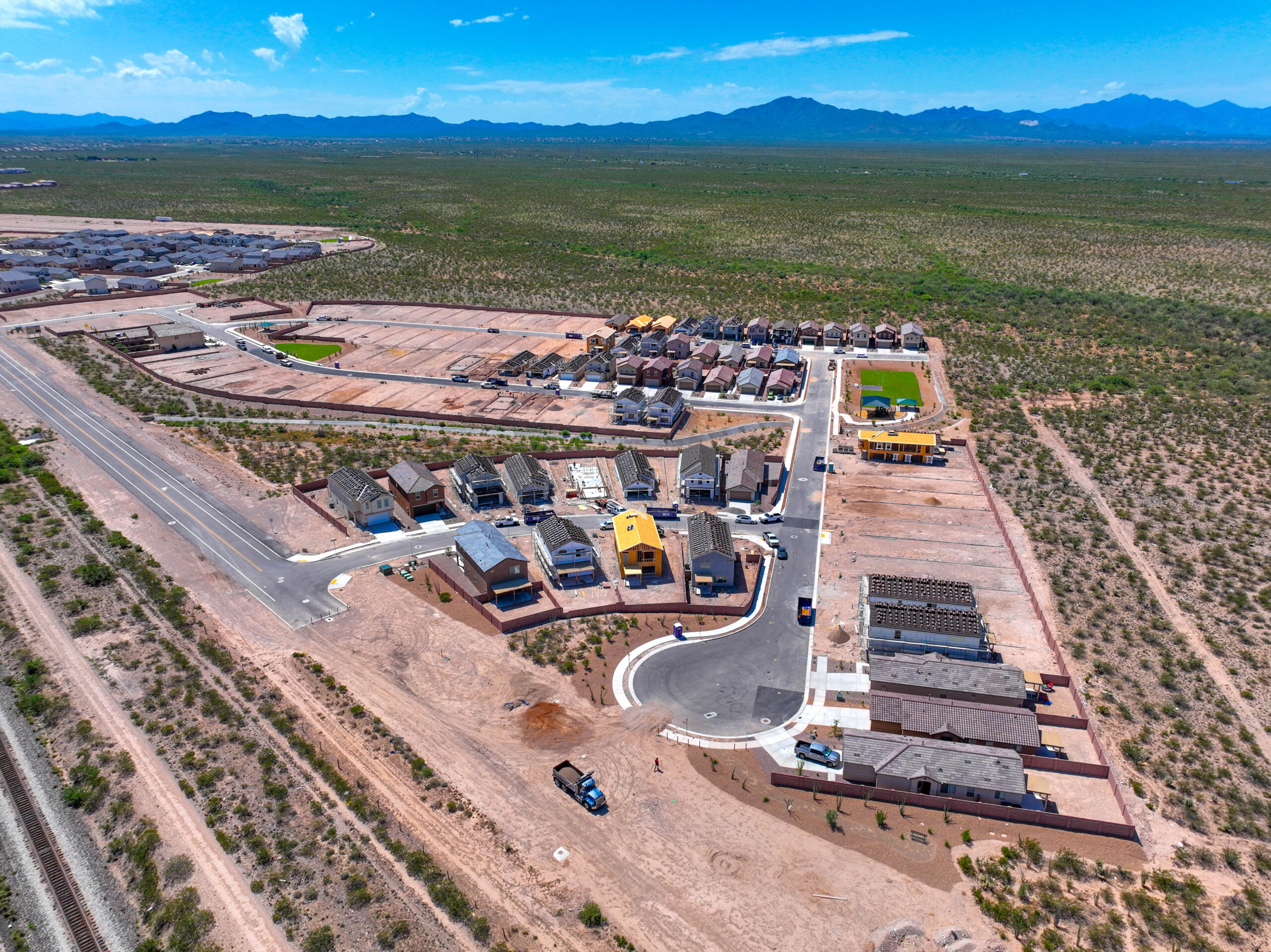
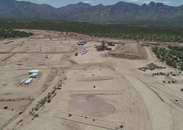
Ideal for Urban, Mountain & Remote Colorado Job Sites
Colorado construction happens everywhere — dense urban cores, foothills, mountains, and remote sites. Our drone teams are equipped and experienced in high-altitude operations, complex terrain, and challenging access conditions.
Whether your project is in downtown Denver, the Front Range, a mountain resort town, or a remote infrastructure corridor, we can capture consistent, repeatable aerial data that would otherwise be slow, expensive, or unsafe to obtain.
Frequently Asked Questions — Construction Drones in Colorado
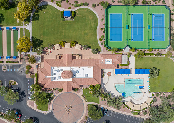
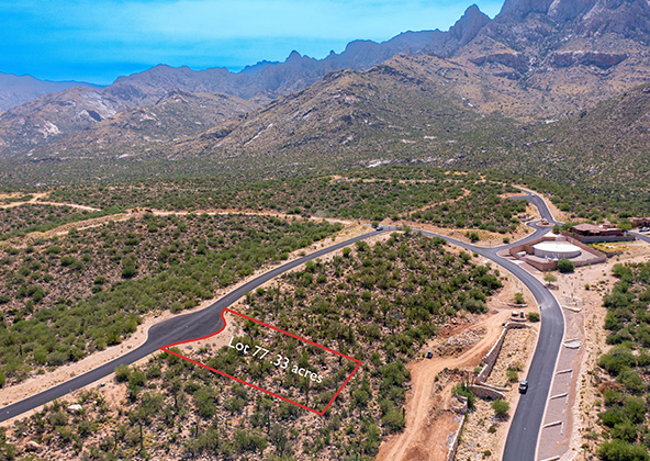
Aerial photography provides a unique perspective. Real estate listings, events, construction progress photos and site surveillance are just a few examples of where you need drones to do the job right.
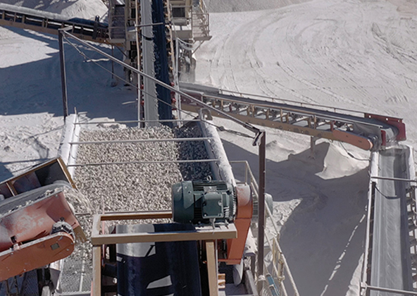
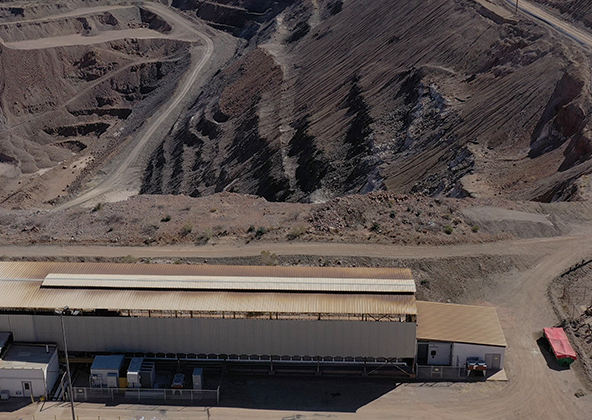
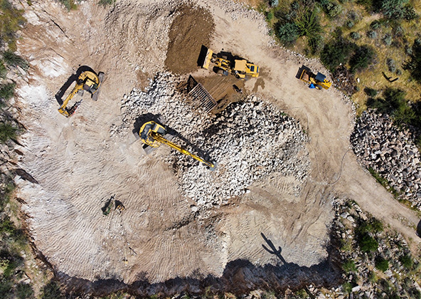
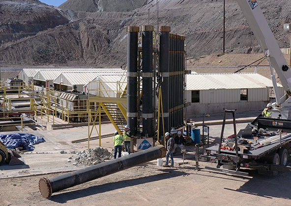
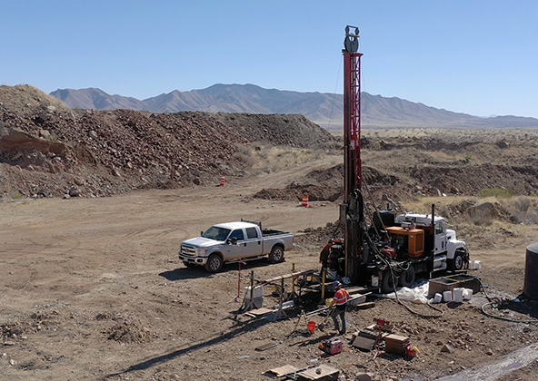
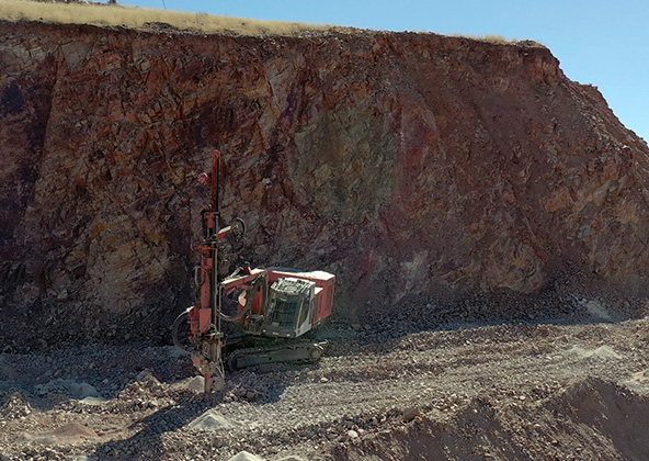
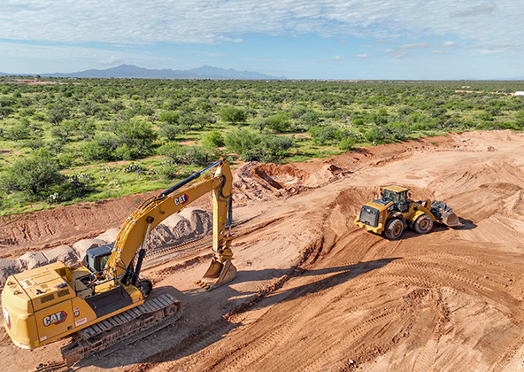
Mining
Aerial photography and videography provide fast and cost effective mapping, documentation, elevation and stockpile calculations to streamline your mining operations.
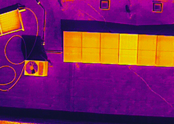
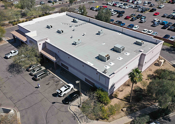
Industrial
Drones are uniquely qualified to capture aerial data for inspections of cellular, electrical, mining, solar and other industrial sites. Providing higher quality data at a lower risk rate than traditional inspections, makes drone services a must on your project.
Events
No matter what kind of event you are having, aerial photography and videography make your audience feel like they are there. Make your advertising, marketing campaign and website stand out with dramatic pictures and videos that only drones can capture.
Licensed & Insured
Desert Drones, LLC is operated by a FAA (Federal Aviation Administration) licensed pilots, Desert Drones, LLC is licensed & insured up to $1M.
Aerial photography and videography provide fast and cost effective mapping, documentation, elevation and stockpile calculations to streamline your mining operations.
Southwest Arizona is a great place for solar. In phoenix and tucson we get over 300 days of sun every year. Let us give you valuable information while your system is still under warranty. Make sure you are getting what you paid for in you PV system.
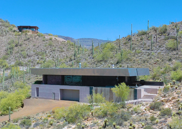
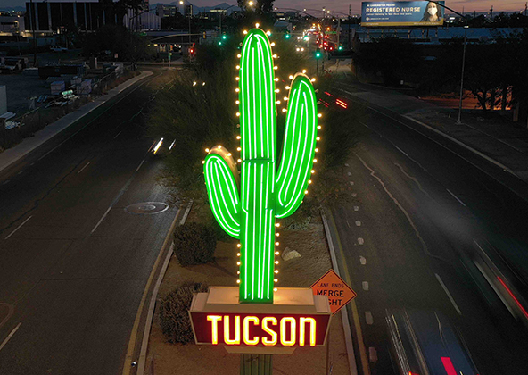
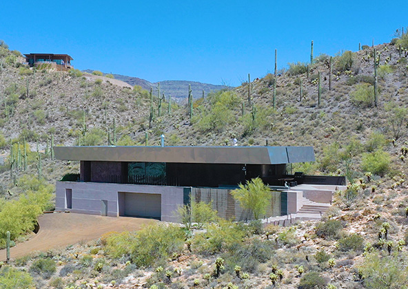
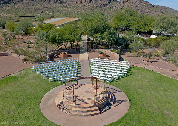
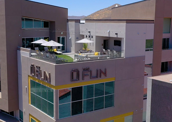
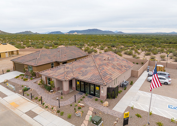
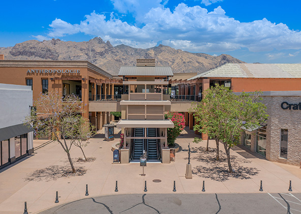
Gallery
MLS aerial drone photos for commercial and residential real estate
drone services for real estate
Aerial Drone Photography for Marketing and Advertising