
A national commercial roofing contractor needed to know where a large flat roof in west Phoenix was holding water before writing a repair scope. Desert Drones flew a radiometric thermal survey after sunset, a visual orthomosaic the next morning, and came back twenty months later to document the roof again before the work started.
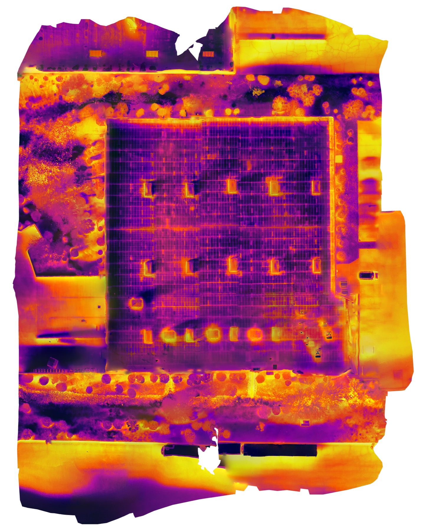
A large single-story commercial building with a flat membrane roof, a dozen rooftop HVAC units, and the usual penetrations, curbs, and drains. From the ground it looked fine. The contractor suspected wet insulation under the membrane, which is invisible to a walk-on inspection and expensive to find by core-sampling at random.
Thermal moisture surveys only work in a narrow window after sunset, when dry roof cools quickly and wet insulation keeps releasing stored heat. The thermal flight was planned as a nadir grid and flown about 90 minutes after sundown with a radiometric sensor, so every pixel carries a temperature value rather than just a color. The same grid was flown again the next morning with the visual camera. Both sets were processed into orthomosaics, and the thermal anomalies were traced and matched to the visual map. In June 2026 the contractor asked for a repeat visual flight and orthomosaic to document the roof's condition before the repair crew mobilized.
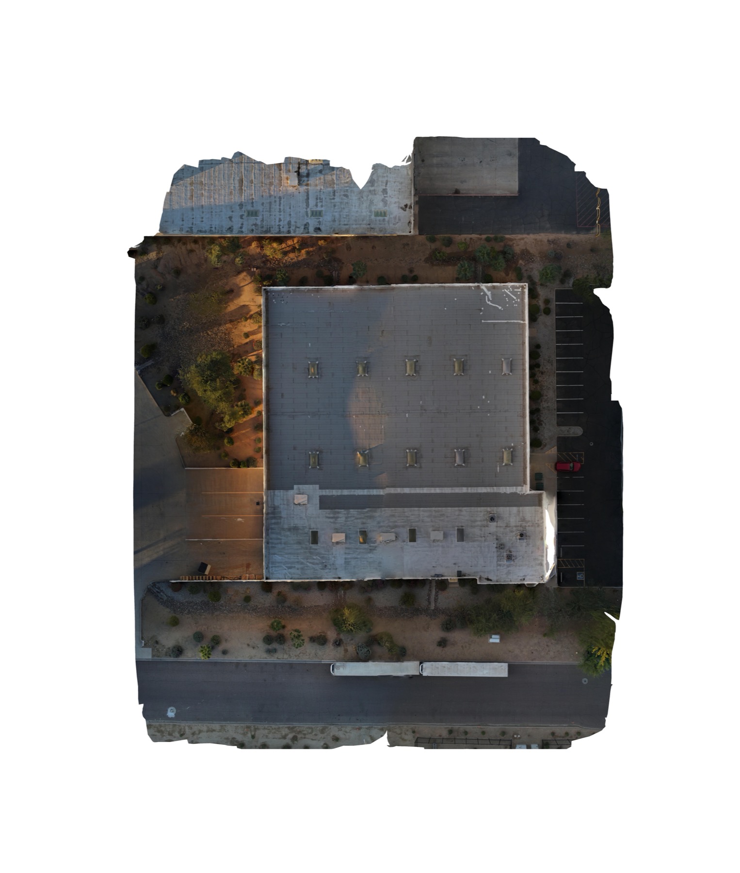
A radiometric thermal orthomosaic and a visual orthomosaic of the whole roof, an annotated set of suspected moisture areas with their approximate square footage, and a KML overlay so the contractor could open the findings in their own mapping tools. The repeat visit added a dated pre-work orthomosaic for the project file.
A thermal drone survey turns a four-acre roof into a single measurable picture in one evening, with the wet areas quantified by size instead of guessed. The contractor used it to scope a targeted repair rather than a full tear-off, to show the owner exactly where and why, and to put a dated condition record in the file before the first cut was made.
Every flight is by an FAA Part 107 certified, insured pilot. Tell us where the asset is and what you need back.