
A lot of El Paso’s economy happens in buildings most people never notice. Warehouses, distribution centers, and manufacturing plants line the east side, the area around the airport, and the corridors leading to the international bridges. They move goods between the U.S. and Mexico every day.
When those properties need to be leased, sold, or shown to a new partner, ground photos rarely do them justice.
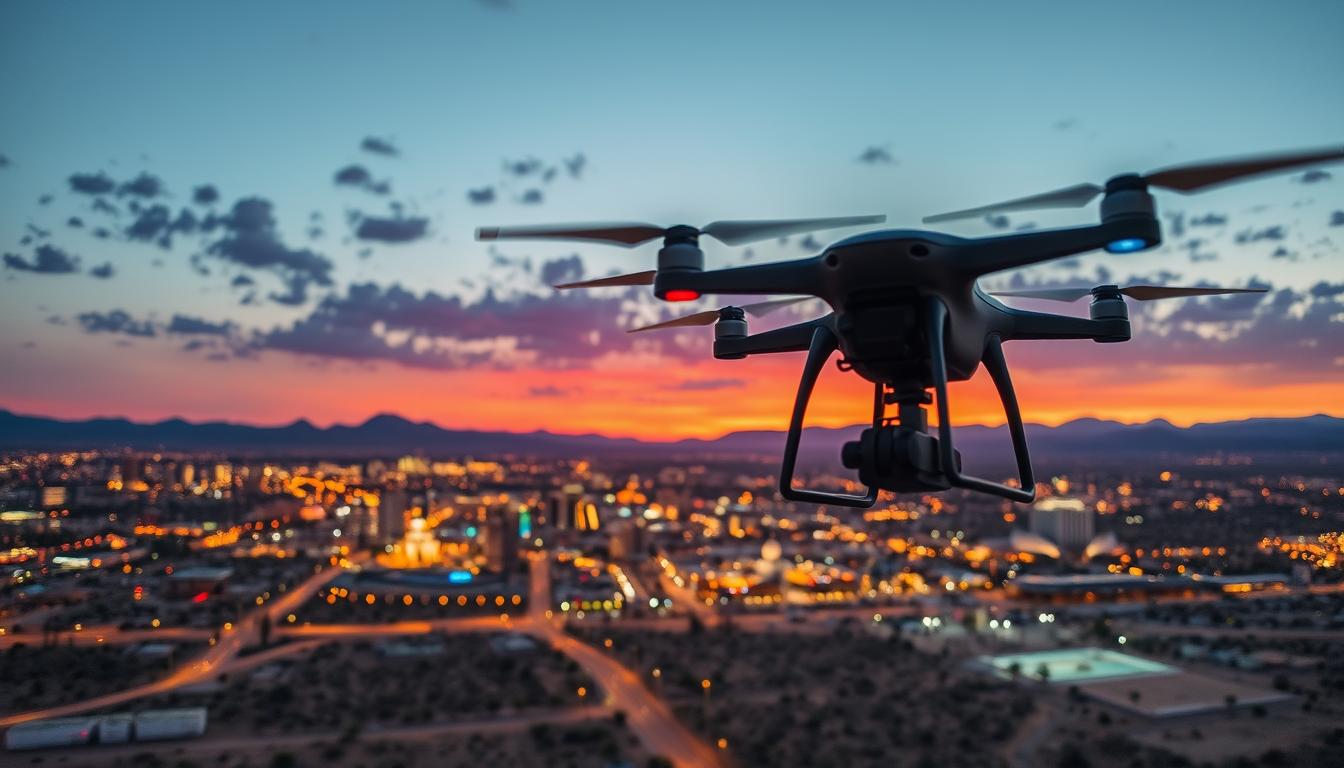
Commercial drone services in El Paso give owners, brokers, and operators a clear view of what makes these sites valuable: the size of the building, the truck courts, the yard space, and how close everything sits to Loop 375, I-10, and the ports of entry. One aerial photo can answer questions that would otherwise take a site visit.
Desert Drones LLC provides FAA Part 107 certified aerial photography and video for El Paso commercial and industrial properties, planned around local airspace and delivered ready for marketing, leasing, and reporting.
Why El Paso Businesses Need Aerial Imagery
El Paso sits right on the border with Ciudad Juárez, and cross-border trade shapes how the city’s commercial real estate works. Bridges like the Bridge of the Americas and Ysleta-Zaragoza carry a steady flow of trucks, and the industrial parks around them support manufacturers, freight companies, and warehousing operations on both sides.
Location tells the story
For industrial and logistics properties, location is often the deciding factor. Tenants want to see how quickly trucks can reach the interstate or a port of entry. An aerial image with the highways and nearby landmarks in frame shows that at a glance, which is far more convincing than a list of drive times.
The same applies to retail and office properties. A shopping center along Montana Avenue or near Cielo Vista benefits from aerials that show parking, access, signage, and traffic flow. Downtown buildings near Southwest University Park or San Jacinto Plaza can show off their walkable surroundings.
Big sites, big distances
El Paso is spread out, and so are many of its commercial properties. Large yards, multiple buildings, and open land around a facility are hard to capture from the ground. A drone can take in a whole campus in one frame, or fly a short path that shows how the site fits together.
Weather and airspace
Spring brings strong west winds and dust storms that can roll across the city, so we watch the forecast closely and schedule shoots for calmer mornings. El Paso International Airport has controlled airspace around it, and the restricted airspace tied to Fort Bliss covers areas to the northeast. We check every site before booking and request FAA authorization when it’s required.
Showing the regional picture
Some of the most useful aerials zoom out beyond the property line. A high shot from the right angle can show the Franklin Mountains, the Rio Grande, and the skyline of Juárez in the background, which helps out-of-town decision makers understand where your site sits in the region. That kind of image works well at the top of an offering memorandum or on the first slide of a pitch deck.
Many El Paso companies also work with partners and parent companies in other states or countries. A clear aerial tour can save a long trip and give remote stakeholders a real sense of the operation. For businesses near Santa Teresa or the far east side, showing the open land around a facility can also point to room for future growth.
How Commercial Drone Services in El Paso Work
Whether you need a few photos for a listing or ongoing coverage of a large facility, the process follows the same steps.
1. Project call
We start by learning what the images are for. Leasing brochures, investor presentations, website updates, and internal reports all call for different shots. We ask about the property, access, any safety requirements on site, and your deadline.
2. Airspace and site planning
Next, we check the location for airspace limits and request authorization if needed. For active industrial sites, we coordinate with your facility manager on launch location, truck traffic, and any areas we should avoid. Safety briefings and site rules are part of the plan.
3. The shoot
On shoot day, we capture a mix of high and low angles, wide shots that show the property’s surroundings, and close views of features like dock doors, rail spurs, or rooftop equipment. Video can include a slow orbit around the building or a path that follows the route trucks take into the site.
4. Editing and delivery
After the flight, we edit and color-correct the images, and we can add property lines or labels for marketing materials if you need them. Files are delivered in high resolution, ready for print, web, and presentations.
Ongoing coverage
Some clients need more than a one-time shoot. Monthly or quarterly flights can track site changes, document an expansion, or keep marketing photos current as tenants move in. We can set up a schedule that fits your needs.
What you can expect in the final package
A typical commercial package includes a set of edited high-resolution photos from several heights and angles, plus a short video if you’ve asked for one. We name and organize the files so your team can find the right image quickly. If your marketing team works with specific sizes or formats, let us know up front and we’ll export to match.
For larger projects, we can deliver separate galleries for each building or phase. That makes it easy to share only what a particular tenant, lender, or partner needs to see.
Who Uses Commercial Drone Imagery in El Paso
Many different groups across the city’s business community rely on aerial content.
Commercial real estate brokers. Brokers use aerials in offering memorandums, listing sites, and tours to help tenants and buyers understand a property before they visit.
Industrial and logistics operators. Warehouse and distribution companies use aerial images for marketing, recruiting, and showing customers the scale of their operations.
Manufacturers. Plants serving cross-border supply chains use aerial photos and video in sales materials, safety training, and corporate communications.
Retail and office property owners. Owners of shopping centers and office parks use aerials to market vacancies and show parking, access, and nearby traffic.
Developers and investors. Aerial images of raw land or existing buildings help with planning, financing, and keeping partners updated on a project.
Property managers. Managers responsible for large industrial parks or retail centers use aerials to document roofs, parking lots, and site conditions, and to keep owners informed without a trip across town.
Economic development and civic groups. Organizations promoting El Paso to new employers use aerial imagery to show available sites and the region’s growth.
Why El Paso Companies Choose Desert Drones
Our pilots are FAA Part 107 certified, which means we’re licensed for commercial work and follow the rules that keep your people and property safe. We check airspace, coordinate with your site team, and plan every flight before we arrive.
We know the Southwest and the conditions that come with it, from spring wind to intense summer sun. That local knowledge helps us choose the right time to fly and avoid wasted trips.
We keep turnaround fast because deals and leasing timelines don’t wait. And the images we deliver are professional and ready to drop into a brochure, website, or presentation. You can learn more on our commercial drone services page.
El Paso Commercial Drone FAQ
Can you fly near El Paso International Airport?
Many sites near the airport sit in controlled airspace. Flying there usually requires FAA authorization and may come with altitude limits. We’ll check your address and let you know what’s possible before we schedule.
Do you work on active industrial sites?
Yes. We coordinate with your facility team on launch locations, traffic, and safety rules, and we plan flight paths that stay clear of workers and equipment.
What’s the best time of year for commercial drone services in El Paso?
Fall and winter usually bring calm, clear mornings, which are ideal for aerial work. Spring can be windy and dusty, so we plan around the forecast. Summer is fine early in the day before heat haze sets in.
Can you add property lines to the photos?
We can add outlines, labels, and simple graphics to highlight a property for marketing materials. Just share what you’d like shown and we’ll include it in the edit.
How soon can I get the images?
Turnaround depends on the size of the project, but we keep it as quick as possible. We’ll give you a delivery date when we plan the shoot.
Do you also shoot video for recruiting or company websites?
Yes. Short aerial clips of your facility work well on careers pages, in company overview videos, and on social media. We can plan a shoot that covers marketing photos and video in the same visit.
Get a Quote for Commercial Drone Services in El Paso
Ready to show tenants, buyers, or partners what your property really offers? Contact Desert Drones LLC today for a free quote on commercial drone services. We serve El Paso and the surrounding Borderland with FAA-certified pilots who know the local terrain, weather, and airspace.
Call Desert Drones in El Paso: (915) 237-1040