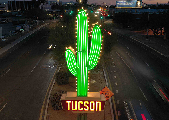
Solar Panel Inspection Drone Services in El Paso & Across Texas
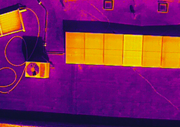
Thermal Imaging & Performance Diagnostics
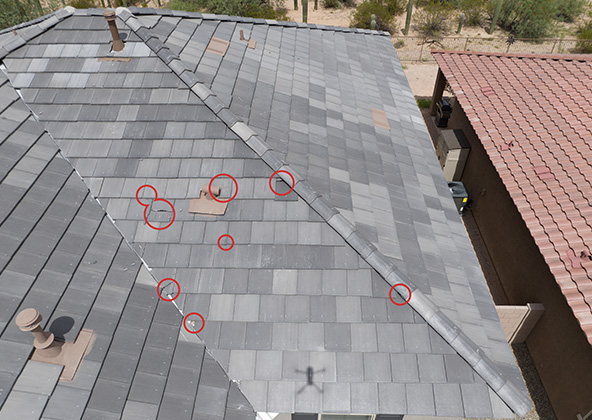
Texas is one of the fastest-growing solar markets in the U.S., with thousands of new arrays powering homes, businesses, and utility infrastructure from El Paso to Houston, Dallas, Austin, San Antonio, Midland, and Lubbock. At Desert Drones, we provide solar panel inspection drone services across all of Texas, combining thermal imaging, aerial photography, and data-driven reporting to ensure every panel performs at its best.
Whether you manage a residential rooftop or a multi-acre solar farm, our FAA-certified pilots and specialized drones detect issues invisible to the naked eye — identifying microcracks, hotspots, wiring faults, and performance degradation before they become costly losses.
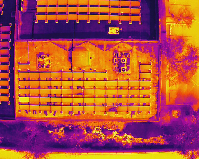
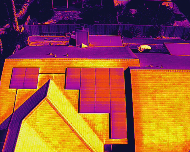
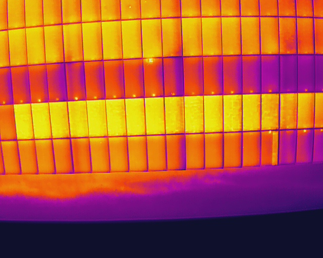
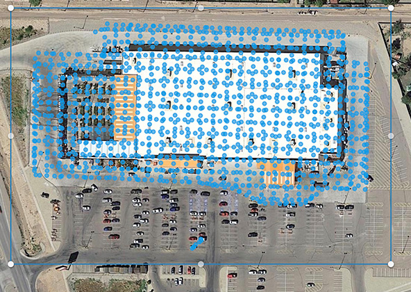
Our infrared drone inspections use advanced thermal sensors to visualize temperature differences across your panels, pinpointing performance issues long before they affect production. These inspections reveal:
Hotspots, defective cells, and string mismatches
Internal microfractures or delamination
Connector, wiring, or junction box failures
Soiling, shading, or environmental loss patterns
Operators across El Paso, Austin, Dallas, Houston, and San Antonio rely on thermal mapping to locate underperforming panels, streamline maintenance, and validate warranty claims. Our data helps you plan smarter repairs and reduce downtime without ever stepping on a roof.
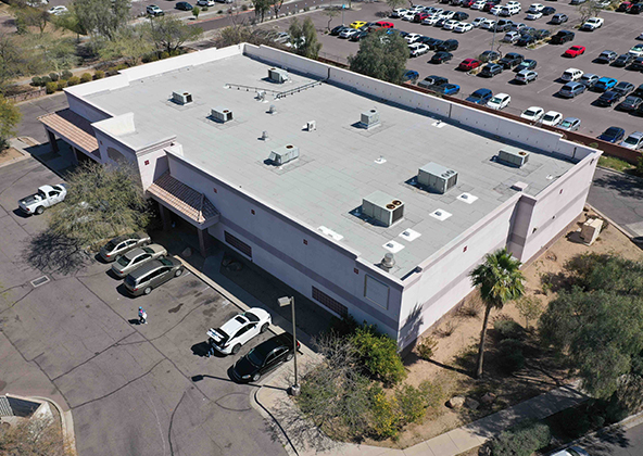
Commercial, Utility & Residential Solar Inspections
Our team inspects solar systems of every size — from residential rooftops to sprawling utility farms — providing actionable visual and thermal data tailored to your goals.
Utility & Commercial Sites: Grid-pattern thermal mapping, degradation analysis, and fault localization for large arrays in Midland, Lubbock, Houston, and Odessa.
Residential Systems: Fast, non-invasive roof-level inspections in El Paso, Austin, San Antonio, and surrounding suburbs.
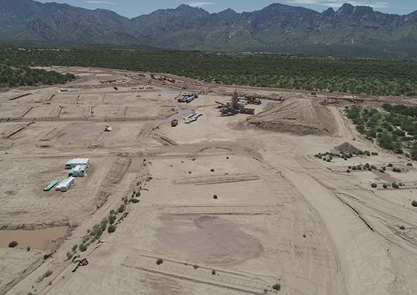
Remote & Rural Solar Fields: Long-range flight operations across West Texas, Big Bend, and the Panhandle, maintaining precision under heat, dust, and high elevation.
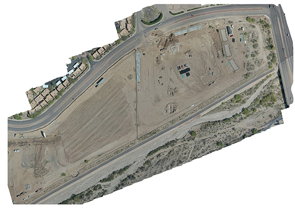
All inspections come with high-resolution aerial photos, orthomosaic thermal maps, and summary reports formatted for engineers, investors, and warranty providers.
Why Choose Desert Drones for Texas Solar Inspections
Clients across the Lone Star State partner with Desert Drones because we combine precision technology with a deep understanding of Texas conditions.
FAA Part 107-certified pilots and full insurance coverage
Experience across El Paso, Dallas–Fort Worth, Houston, Austin, San Antonio, Midland, Lubbock, Odessa, and Brownsville
Expertise in Texas sunlight, dust, and elevation challenges
Reports formatted for warranty claims, O&M tracking, and investor documentation
Whether you’re inspecting a rooftop system in El Paso or a 500-acre solar farm in Midland, we deliver actionable data that improves efficiency, reduces costs, and extends the life of your panels
Frequently Asked Questions — Drone Solar Panel Inspections Texas
Our thermal sensors detect temperature differences within fractions of a degree, helping pinpoint microcracks, failed cells, or wiring issues that can cut energy output.
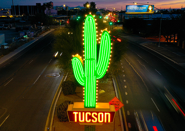
Aerial photography provides a unique perspective. Real estate listings, events, construction progress photos and site surveillance are just a few examples of where you need drones to do the job right.
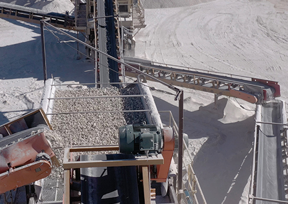
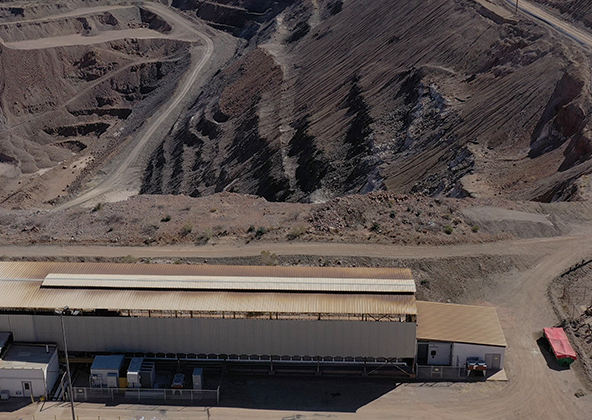
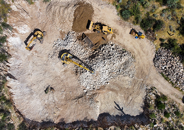
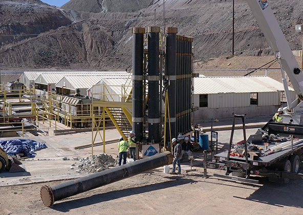
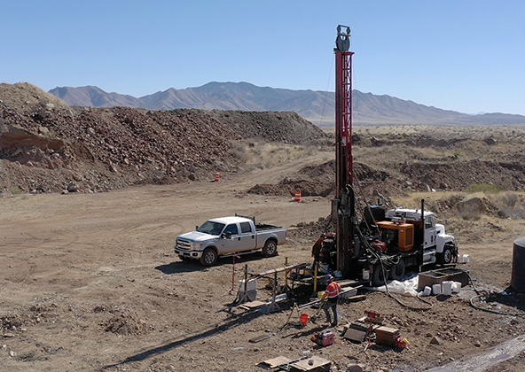
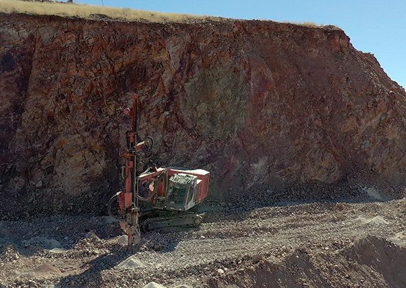
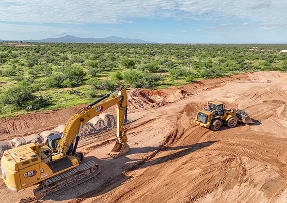
Mining
Aerial photography and videography provide fast and cost effective mapping, documentation, elevation and stockpile calculations to streamline your mining operations.
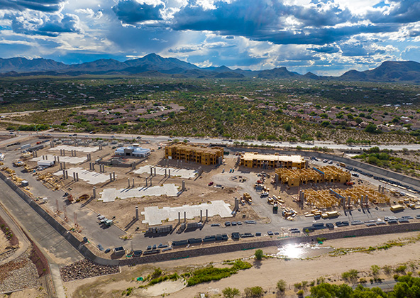
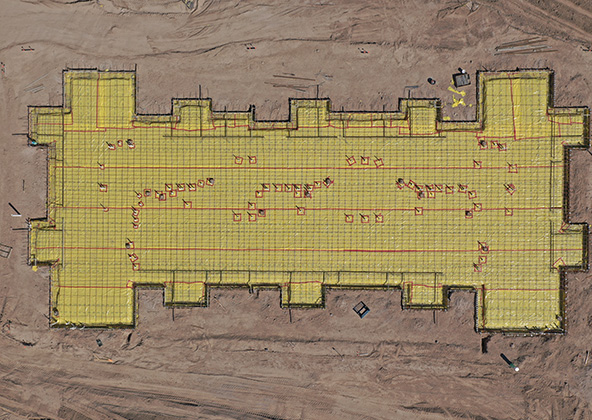
Industrial
Drones are uniquely qualified to capture aerial data for inspections of cellular, electrical, mining, solar and other industrial sites. Providing higher quality data at a lower risk rate than traditional inspections, makes drone services a must on your project.
Events
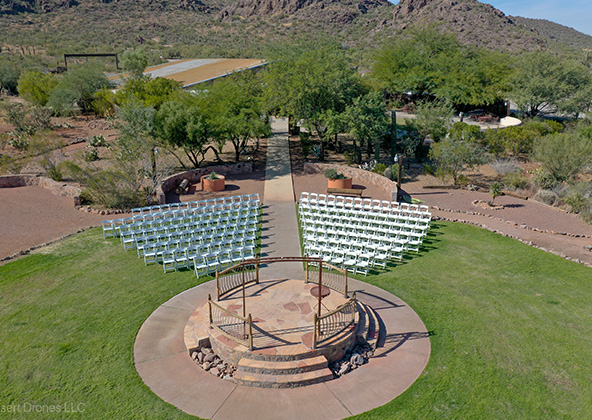
No matter what kind of event you are having, aerial photography and videography make your audience feel like they are there. Make your advertising, marketing campaign and website stand out with dramatic pictures and videos that only drones can capture.
Licensed & Insured
Desert Drones, LLC is operated by a FAA (Federal Aviation Administration) licensed pilots, Desert Drones, LLC is licensed & insured up to $1M.
Aerial photography and videography provide fast and cost effective mapping, documentation, elevation and stockpile calculations to streamline your mining operations.
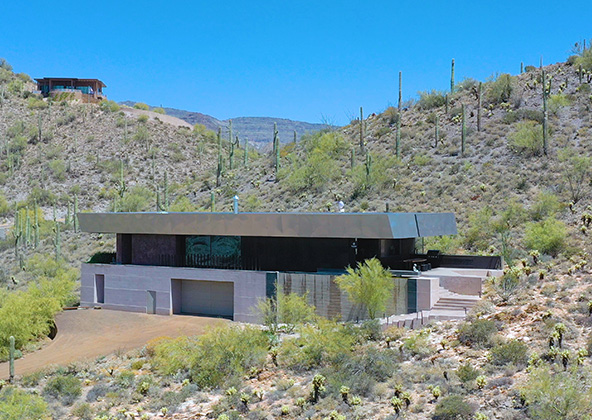
Southwest Arizona is a great place for solar. In phoenix and tucson we get over 300 days of sun every year. Let us give you valuable information while your system is still under warranty. Make sure you are getting what you paid for in you PV system.
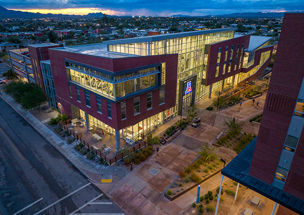
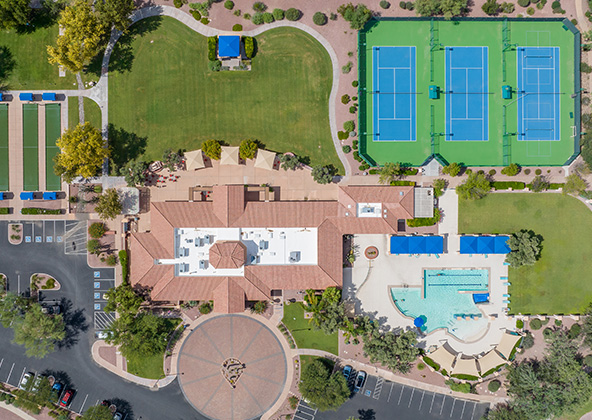
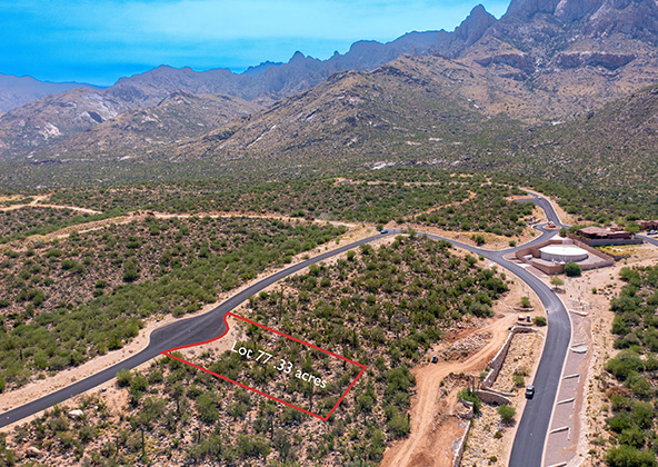
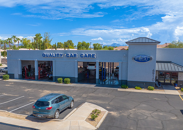
Gallery
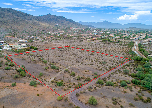
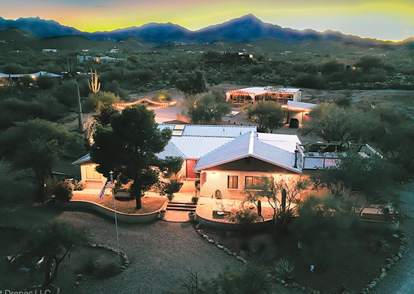
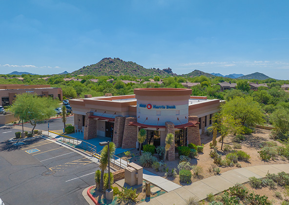
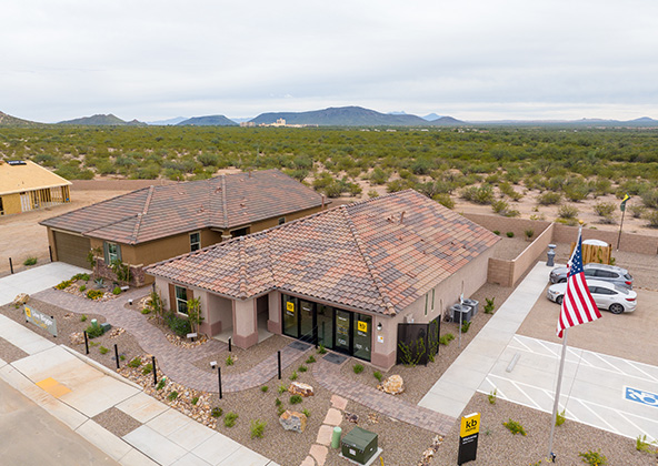
MLS aerial drone photos for commercial and residential real estate
drone services for real estate
Aerial Drone Photography for Marketing and Advertising