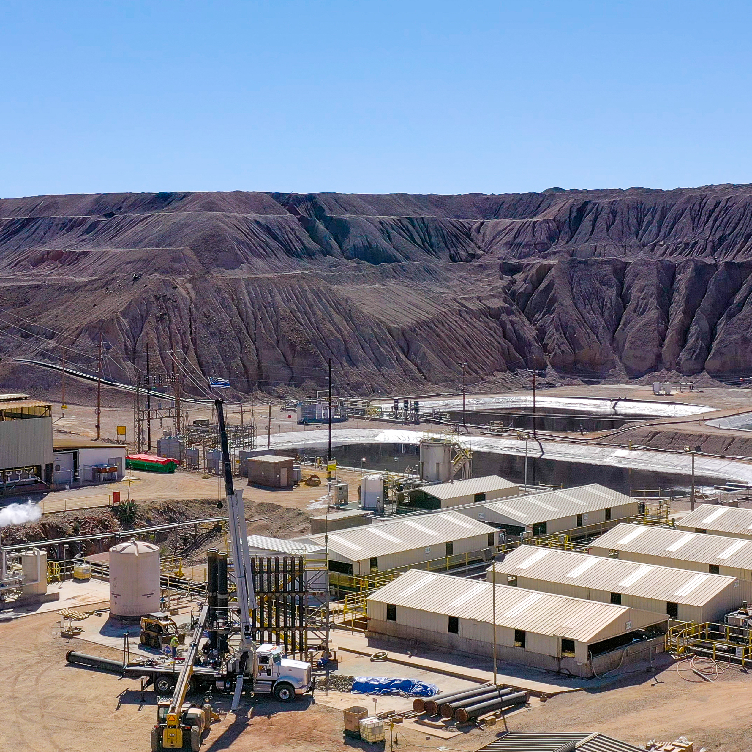
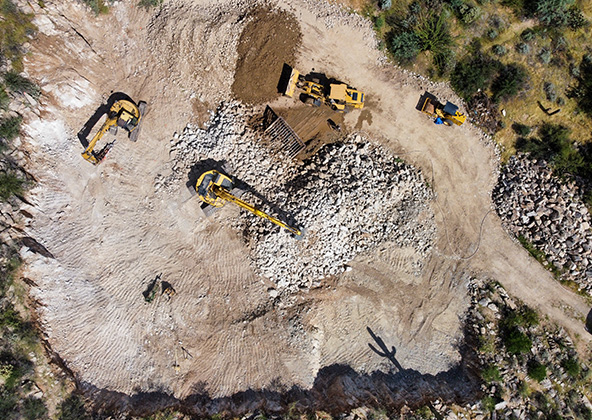
Industrial and mining operations don’t have time for guesswork, downtime, or vague reports. Desert Drones LLC provides professional industrial and mining drone services that deliver clear visuals, accurate measurements, and consistent documentation for pits, plants, quarries, and heavy industrial sites across the Southwest.
Create clean visuals for management, compliance, and stakeholders
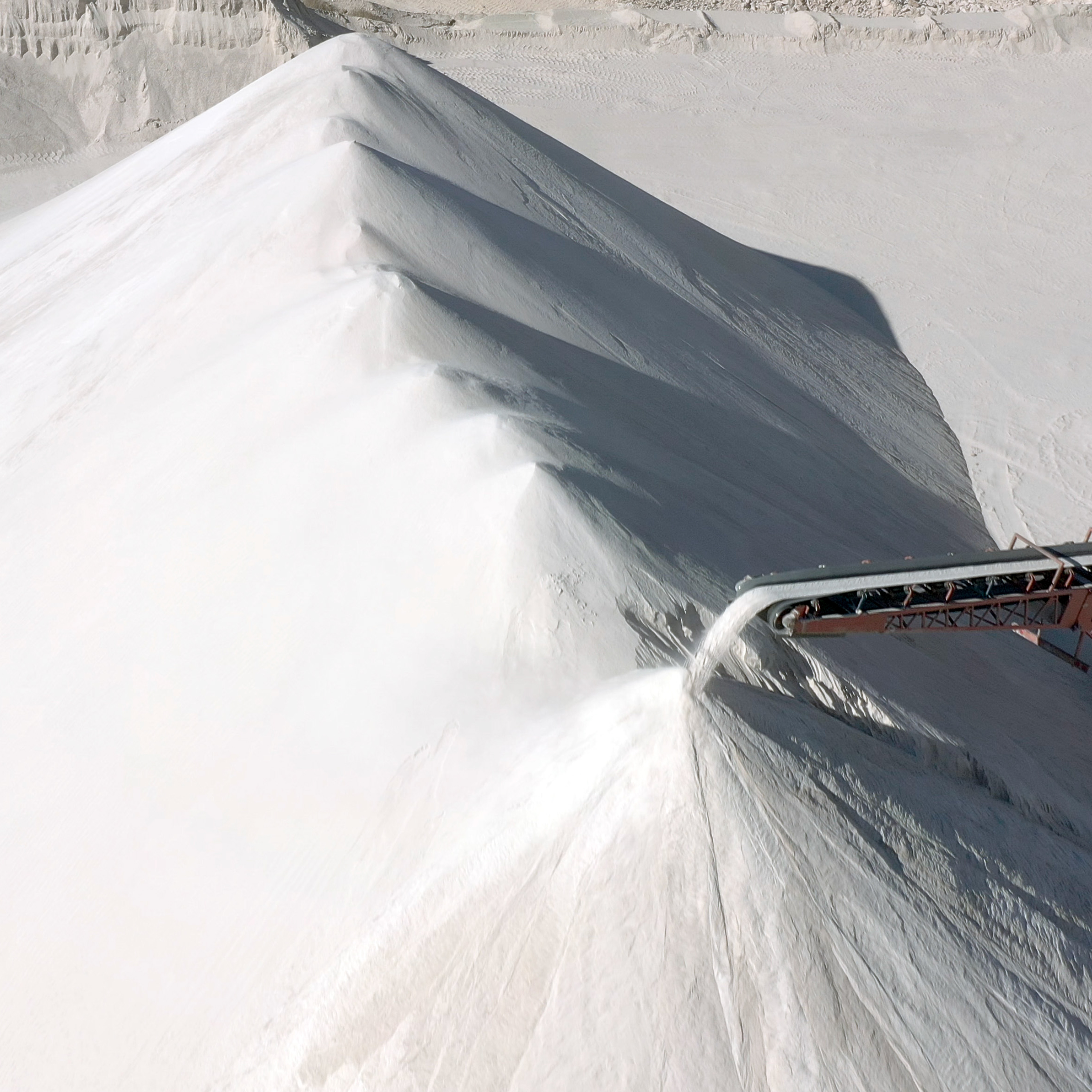
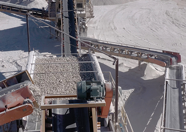
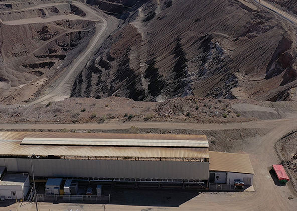
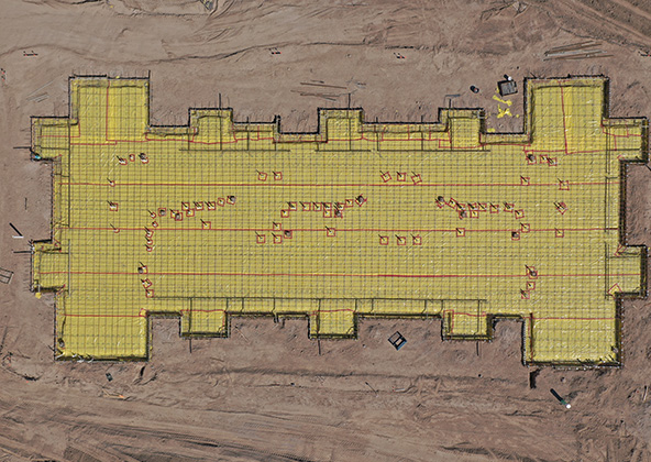
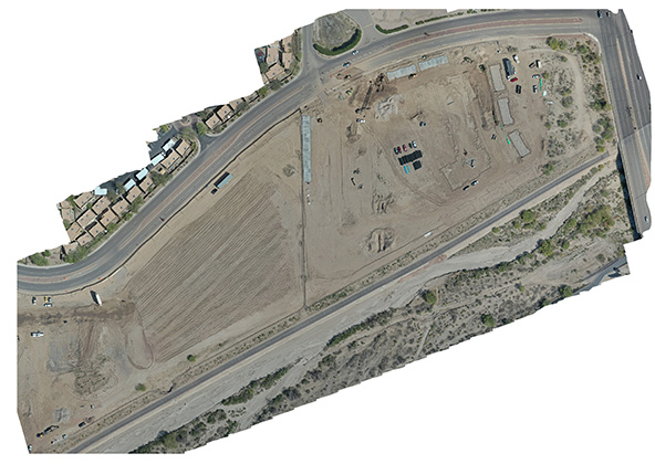
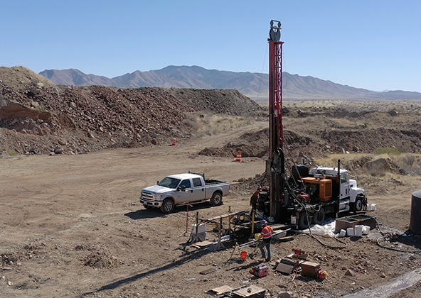
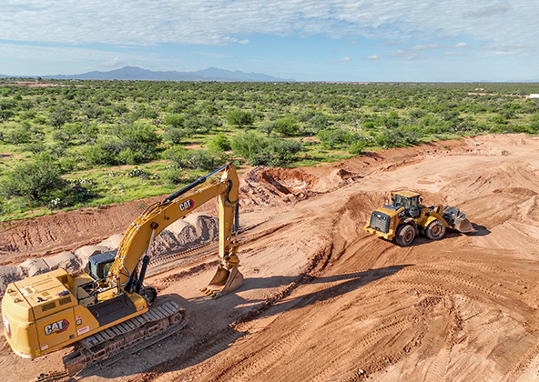
Stockpile Volume Measurements & Material Tracking
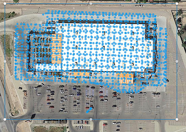
Knowing exactly how much material you have on site is critical for production planning, reconciliation, and cost control. We use drone mapping to produce clear, repeatable stockpile volume measurements for mines, quarries, and industrial material yards.
Our stockpile deliverables help you:
Track inventory levels over time
Verify contractor and hauling quantities
Reduce over-ordering or shortages
Monitor production and consumption trends
Generate management-ready reports
We deliver organized reports showing per-pile volumes, grouped totals, and site-wide totals, packaged in easy-to-use PDF and image formats.
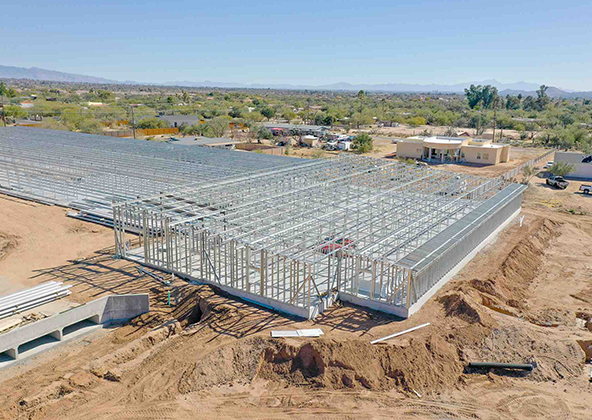
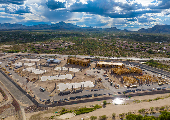
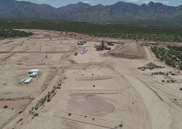
Pit, Quarry & Site Progress Documentation
We provide repeatable progress documentation flights that create a visual timeline of your operation. By flying the same paths, angles, and altitudes each time, changes in the site become immediately obvious and easy to communicate.
Progress documentation is used for:
Management and ownership updates
Investor and stakeholder reporting
Dispute protection and historical records
Planning and production meetings
Marketing and public-facing updates
Most industrial and mining clients choose monthly or bi-weekly progress flights.
Aerial photography provides a unique perspective. Real estate listings, events, construction progress photos and site surveillance are just a few examples of where you need drones to do the job right.
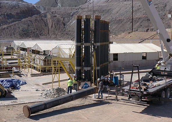
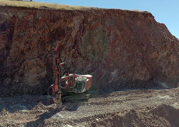
Mining
Aerial photography and videography provide fast and cost effective mapping, documentation, elevation and stockpile calculations to streamline your mining operations.
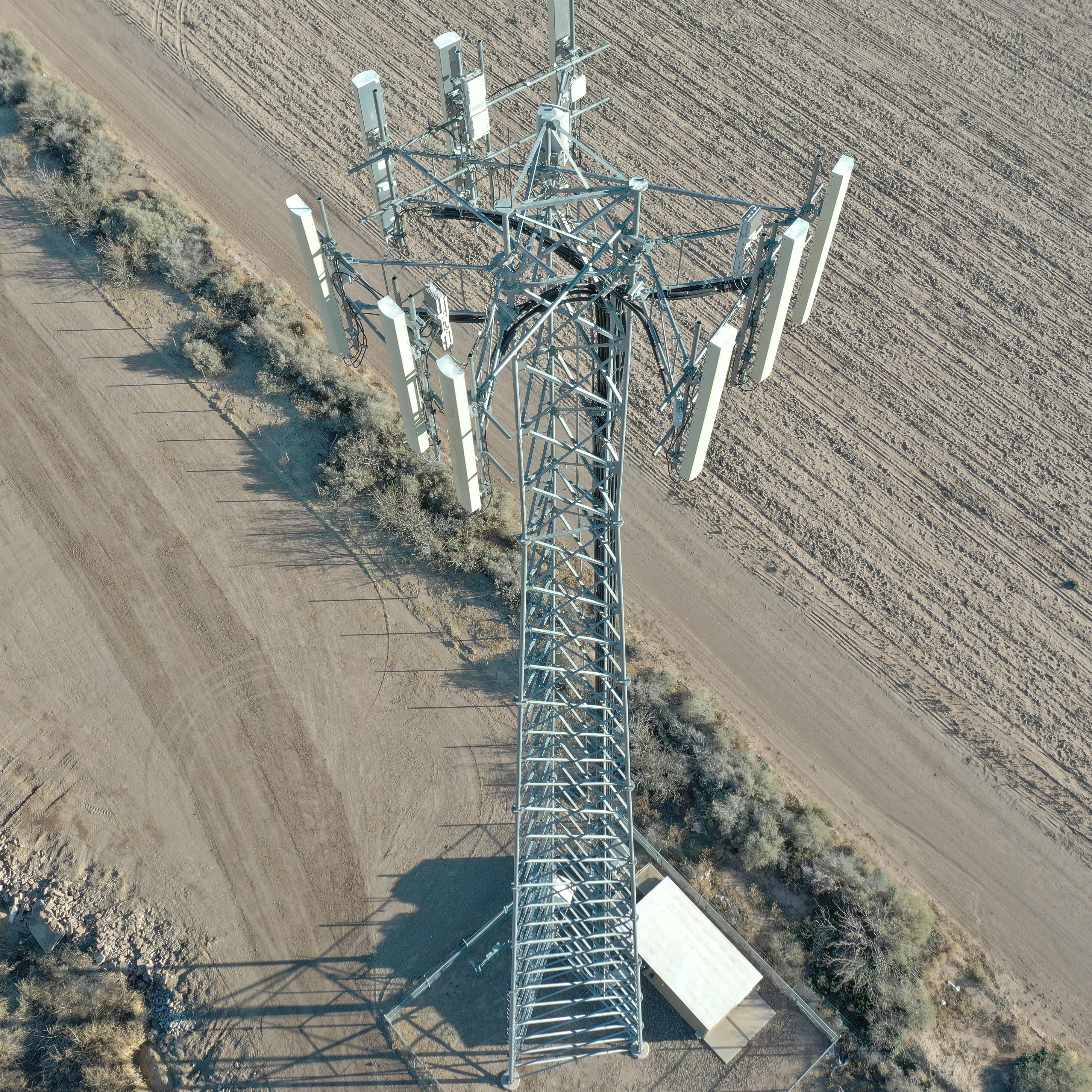
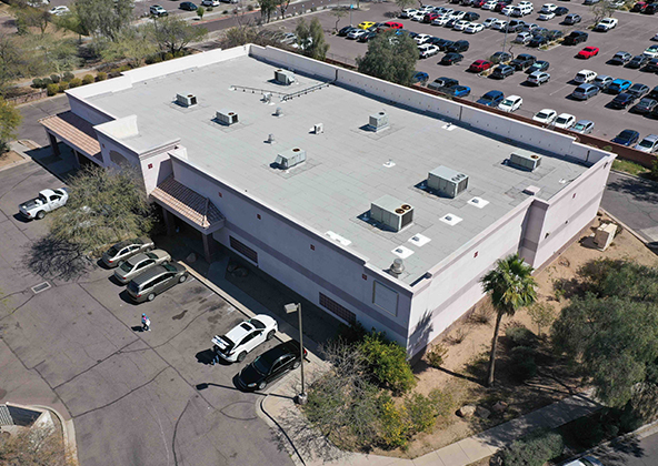
Industrial
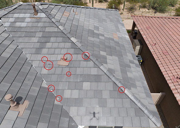
Drones are uniquely qualified to capture aerial data for inspections of cellular, electrical, mining, solar and other industrial sites. Providing higher quality data at a lower risk rate than traditional inspections, makes drone services a must on your project.
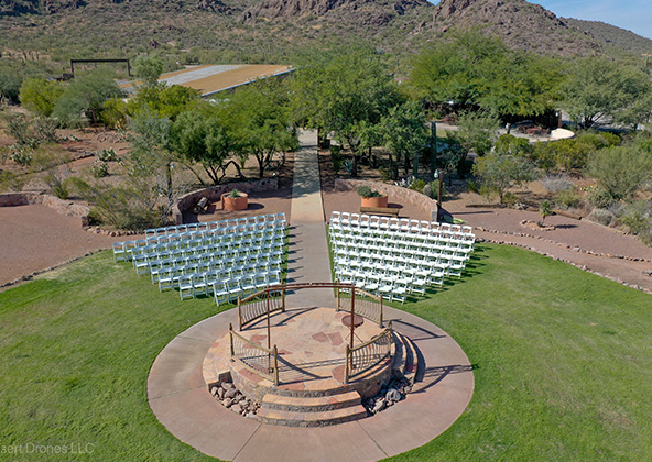
Events
No matter what kind of event you are having, aerial photography and videography make your audience feel like they are there. Make your advertising, marketing campaign and website stand out with dramatic pictures and videos that only drones can capture.
Licensed & Insured
Desert Drones, LLC is operated by a FAA (Federal Aviation Administration) licensed pilots, Desert Drones, LLC is licensed & insured up to $1M.
Aerial photography and videography provide fast and cost effective mapping, documentation, elevation and stockpile calculations to streamline your mining operations.
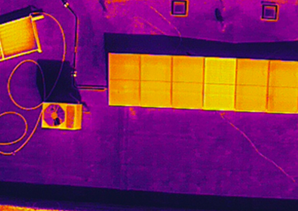
Southwest Arizona is a great place for solar. In phoenix and tucson we get over 300 days of sun every year. Let us give you valuable information while your system is still under warranty. Make sure you are getting what you paid for in you PV system.
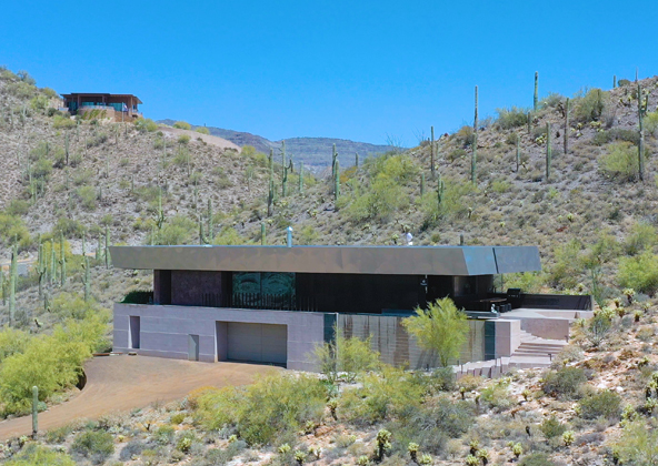
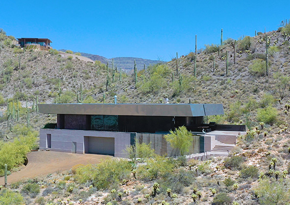
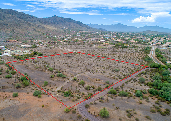
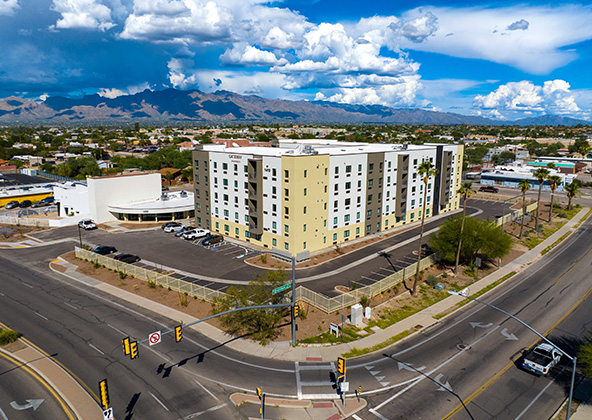
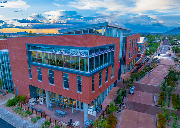
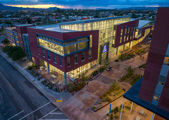
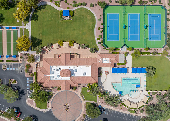
Gallery
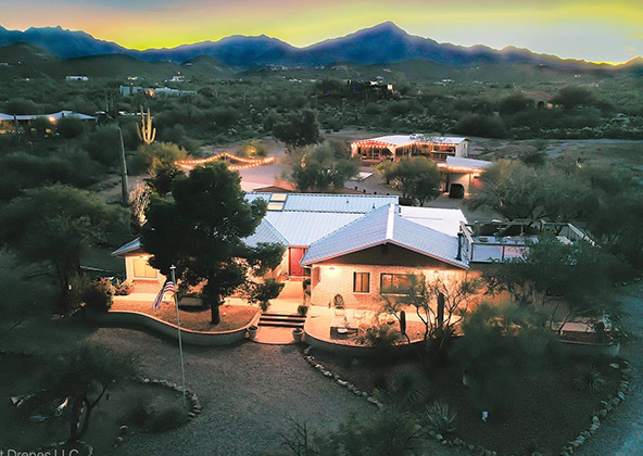
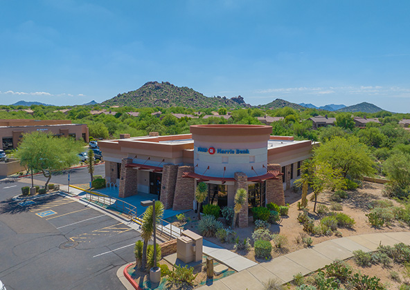
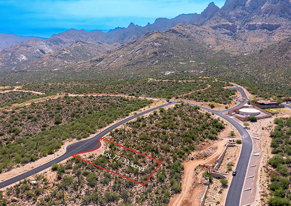
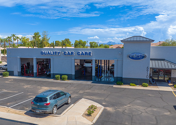
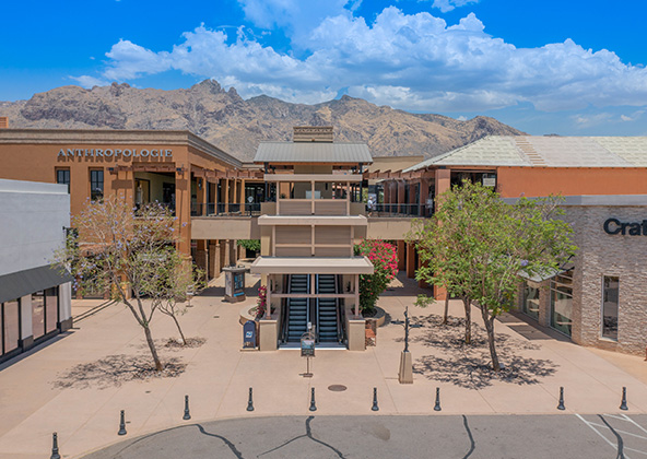
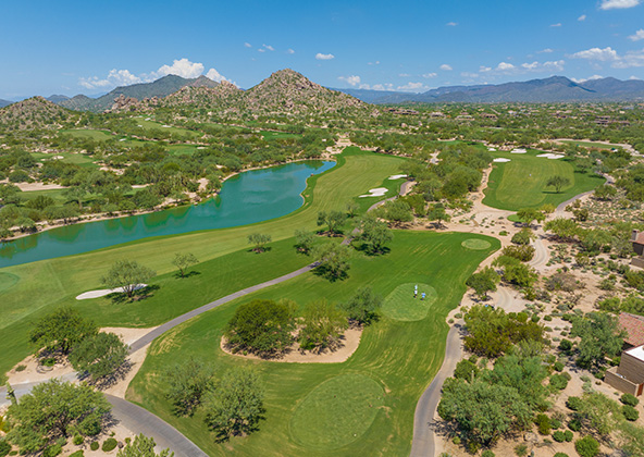
MLS aerial drone photos for commercial and residential real estate
drone services for real estate
Aerial Drone Photography for Marketing and Advertising